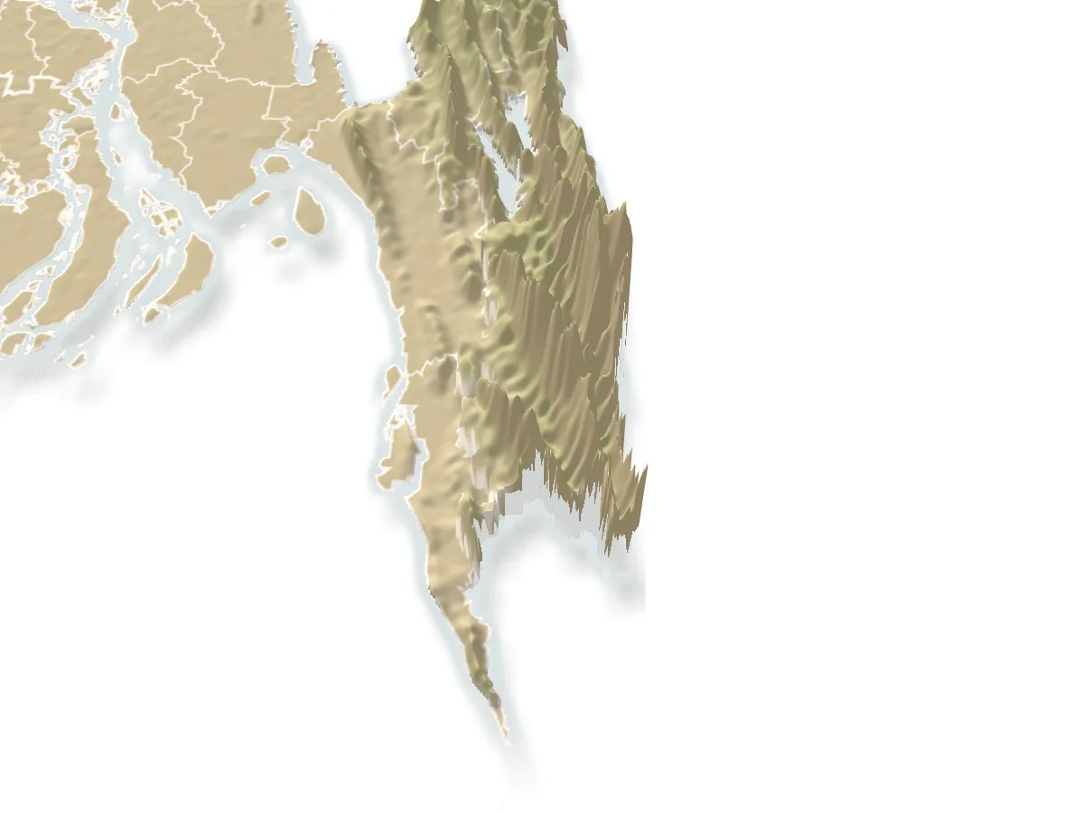
Known for
- 1
The highest hills in the country.
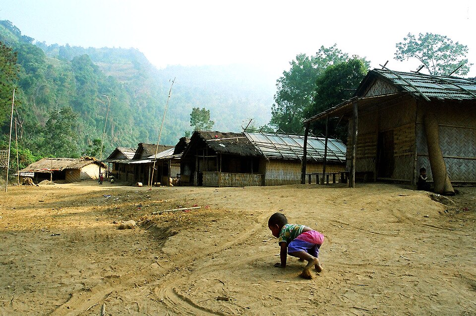
Bandarban is where the Hill Tracts rise to real mountains: Keokradong, Tazing Dong and the Saka Haphong ridge on the Myanmar border, with Boga Lake in a crater between them and trek routes that take two or three days through Bawm and Mro villages. Nilgiri and Chimbuk on the Thanchi road give the view from a car.
- 2
The Sangu and its khums.
The river runs the length of the district, and from Thanchi boats go up through Tindu and Remakri to Nafakhum, Amiakhum and the gorges beyond; nearer town Debotakhum and Shoilo Propat are the easy water. The golden Buddha Dhatu Jadi and Nilachal are within reach of a day.
Best season
GoodFairNov–Feb
- Sangrai (Marma new year) 13–16 April: water play in the town, the Buddha bathing at the kyangs
November to February for the treks and viewpoints: cold clear mornings, cloud below Nilgiri, dry trails. The monsoon and just after (July to October) is when the khums and falls roar and the Sangu is high; boats run but trekking is leech-and-landslide country. Thanchi and the upper Sangu, Ruma and the peaks need army registration and a licensed guide, and are closed outright at times; ask in town before planning. Foreigners need prior permission for the Hill Tracts.
Getting there
Bus
Dhaka
8–9 h, ৳800–1,800
Overnight; Shyamoli, Saint Martin, Hanif, Dolphin
Bus
Chattogram
2–3 h
Purbani and others from Bahaddarhat, every half hour
Getting around
Thanchi road
3 h to Thanchi, Jeep ৳5,000–8,000 a day
Chander gari from the town stand; local buses too
Buses from Dhaka (Shyamoli, Saint Martin, Hanif, Dolphin, about 8 to 9 hours overnight) and from Chattogram's Bahaddarhat (2 to 3 hours) reach Bandarban town. From town, jeeps (chander gari) and buses run the Thanchi road past Shoilo Propat, Chimbuk and Nilgiri (about 3 hours to Thanchi); Ruma is 2 to 3 hours by jeep for Boga Lake and Keokradong; Rowangchhari for Debotakhum; Alikadam for the cave. Nilachal and the Buddha Dhatu Jadi are a CNG ride from town.
Local food
Bamboo chickenMust try
Marma style, in the bazar restaurants and on treks
Grilled Sangu fish
At Remakri and Thanchi
Marma and Bawm cooking: bamboo chicken, nappi with vegetables, pork, mountain rice, and the Mro and Khumi villages' wild greens on a trek. In town, the Marma restaurants around the bazar and the street fruit (banana, pineapple, jackfruit, papaya in season). Sangu fish grilled at Remakri and Thanchi.
Places to see
 Hills and mountainsRocky Masum
This work was made by Masum-al-Hasan Rocky and released under the license(s) stated below. Please feel free to use it for any purpose as long as you credit Masum-al-Hasan Rocky as author and follow the terms of the chosen license. If you use this work outside of the Wikimedia projects, I would very much like to get a note from you. Thanks! · CC BY-SA 4.0
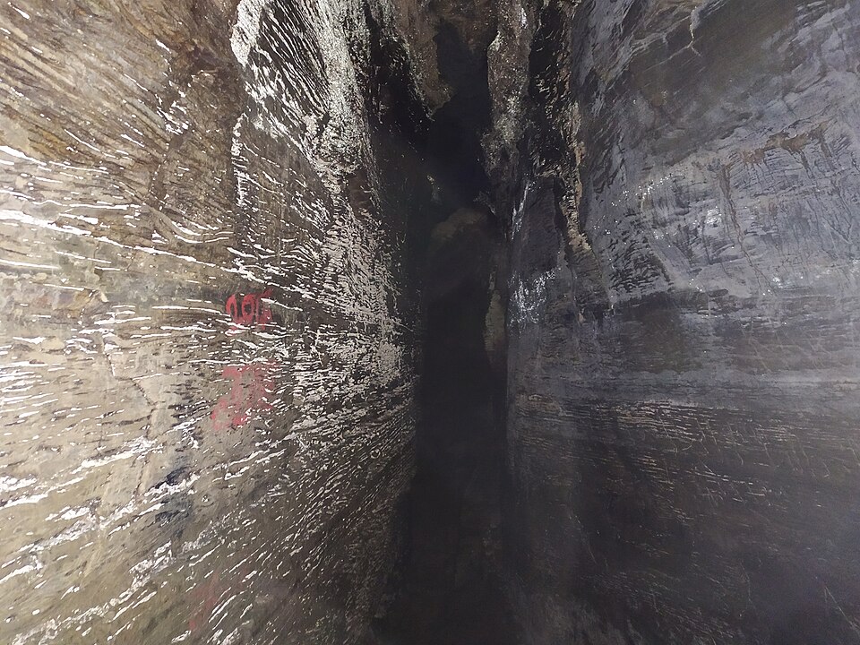
Ali's Cave, Alikadam
A set of natural caves in a hill above the Matamuhuri river at Alikadam, reached by a stream walk and bamboo ladders: narrow dark passages through the rock, a local legend of a saint named Ali, and the southern district's one well-known sight.
 WaterfallKazi Mahmudur Rahman · CC BY-SA 4.0
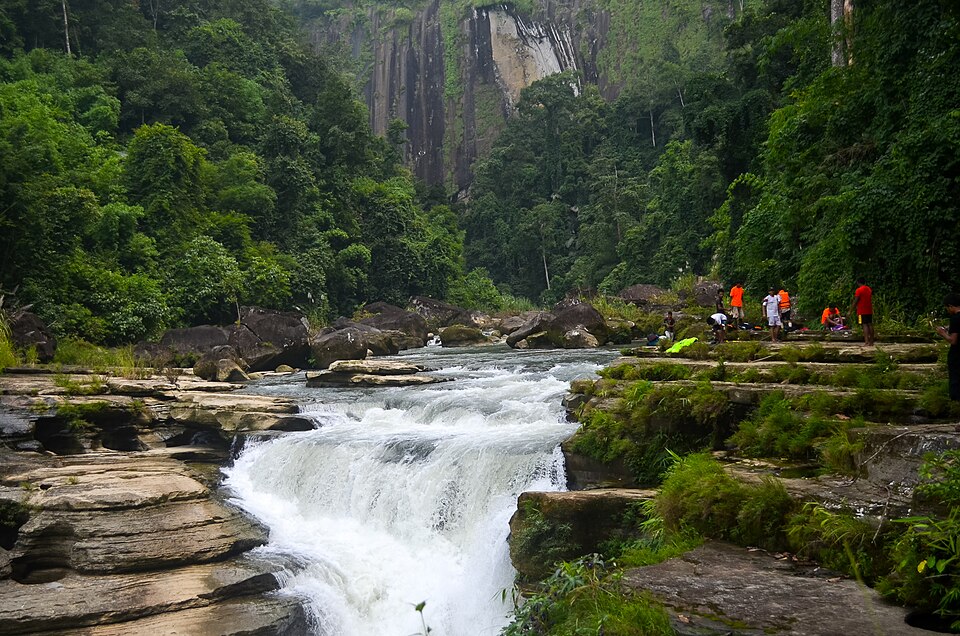
Amiakhum
The fall and gorge in the Nakshiyang reach of the Sangu beyond Nafakhum, a day further on foot: white water through a slot in black rock, the Satbhaikhum pools below, and the hardest trek the ordinary visitor does in Bangladesh.
 River, lake and haorAditya Kabir · Public domain
Boga Lake
A deep blue lake in a crater at about 1,250 feet in Ruma, held sacred by the Bawm village on its shore, the base camp for Keokradong: cottages by the water, a cold swim and a night under the stars after the jeep ride up from Ruma bazar.
 Buddhist vihara and pagodaFahad Faisal · CC BY-SA 4.0
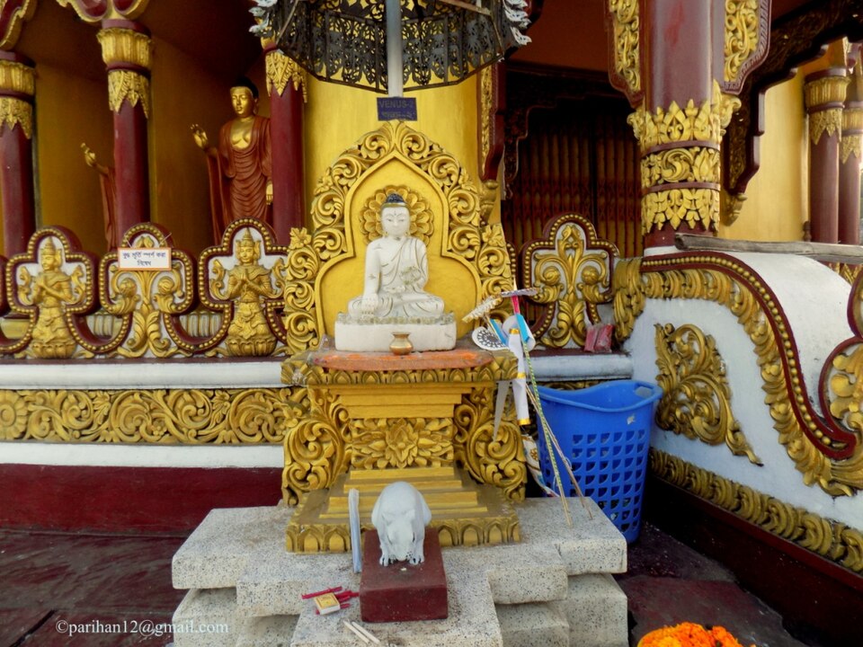
Buddha Dhatu Jadi (Golden Temple)
The gilded Theravada stupa on a hill at Balaghata, 4 km from town, built in 2000 in the Burmese (Arakanese) style with relics of the Buddha: the largest Theravada temple in the country and the district's landmark.
 Viewpoint and sunset spotলাজ মাহমুদ · CC BY-SA 4.0
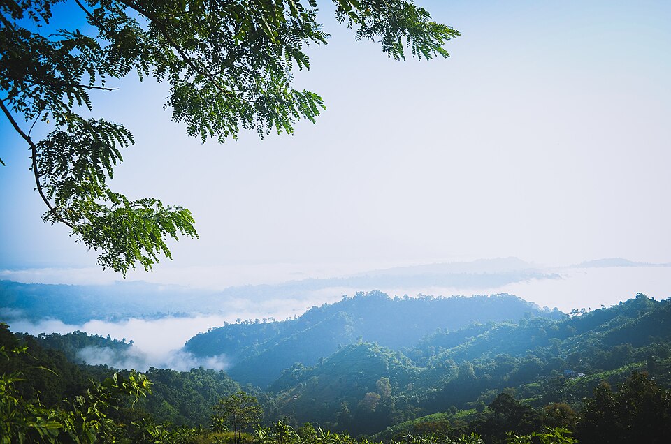
Chimbuk Hill
The 2,500-foot hill on the Thanchi road, 26 km from town, with a rest house and lookout on top and Mro villages on its slopes: the "Darjeeling of Bengal" to an older generation, and the halfway stop to Nilgiri.
 River, lake and haorঅভিজিৎ দাস · CC BY-SA 4.0
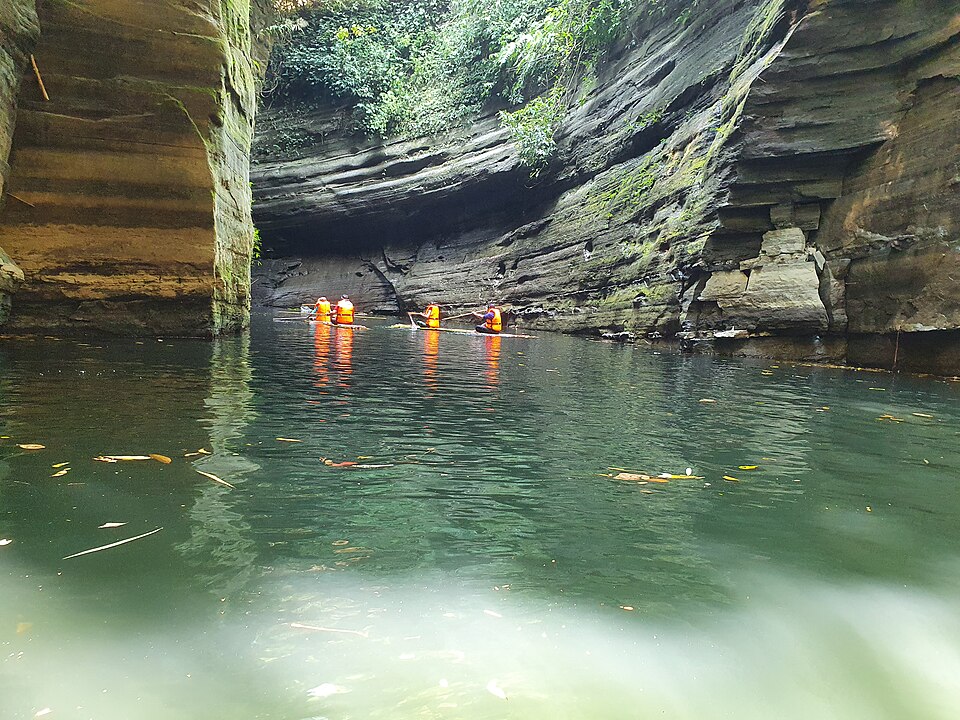
Debotakhum
A 600-foot-long pool of still water, 50 to 70 feet deep, between sheer rock walls in Rowangchhari, floated on a bamboo raft after a walk from Kochhoptoli: the easiest of the khums and one of the most beautiful.
 WaterfallFaisal Akram from Dhaka, Bangladesh · CC BY-SA 2.0
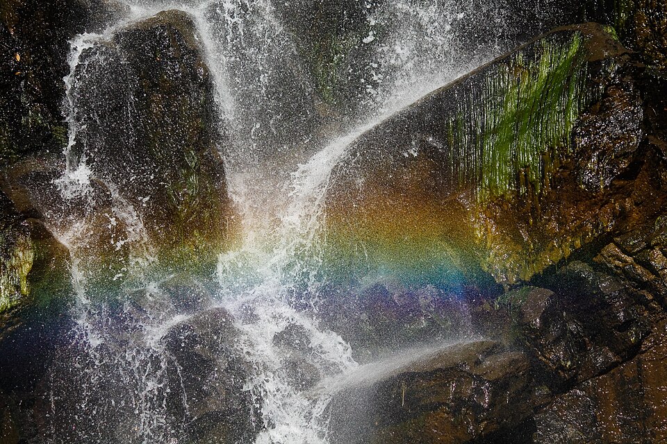
Jadipai Waterfall
One of the widest falls in the country, below Jadipai para on the far side of Keokradong: a steep two-hour descent from the peak to a broad white curtain over rock, roaring in the rains, with a rainbow in the spray on sunny mornings.
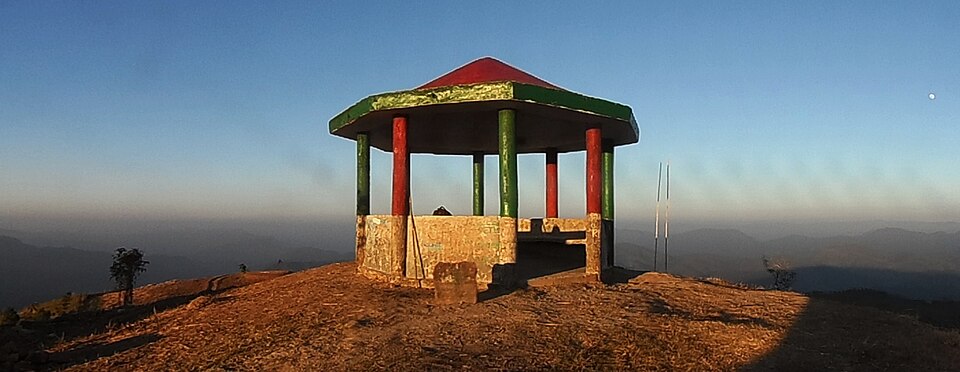 Hills and mountainsFahimhasan · CC BY-SA 3.0
Keokradong
The 986-metre peak above Boga Lake, for decades called the highest in the country and still the classic trek: a day's climb through Bawm villages to a summit shelter with the Myanmar hills on the horizon.
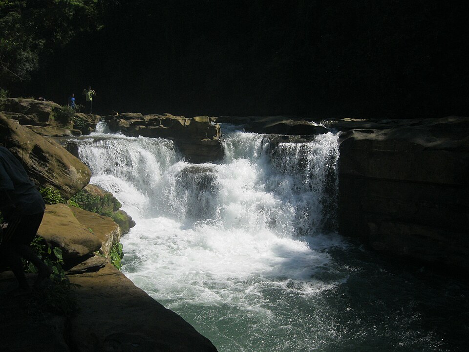 WaterfallCreator:Abu Md. Jakaria · Public domain
Nafakhum
The widest fall in the country by volume, where the Remakri stream drops about 25 feet into a gorge, reached from Thanchi by boat up the Sangu to Remakri and a three-hour walk: the signature trip of the upper Sangu.
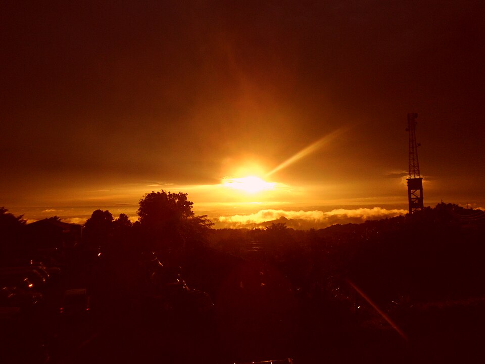 Viewpoint and sunset spotSourov0000 · CC BY-SA 3.0
Nilachal
The viewpoint complex on the hill at Tigerpara, 6 km from town, run by the district: railed terraces over the town and the Sangu valley, a sunset the whole town drives up for, and the easiest hill in Bandarban.
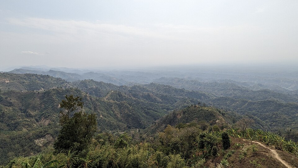 Viewpoint and sunset spotTanvir Rahat · CC BY-SA 4.0
Nilgiri
The army-run hilltop resort at about 2,200 feet, 47 km from town on the Thanchi road: cloud below the cottages in the cold months and the ranges of the Hill Tracts in every direction; the most visited viewpoint in the district.
 River, lake and haorSM Sawash · CC BY-SA 4.0
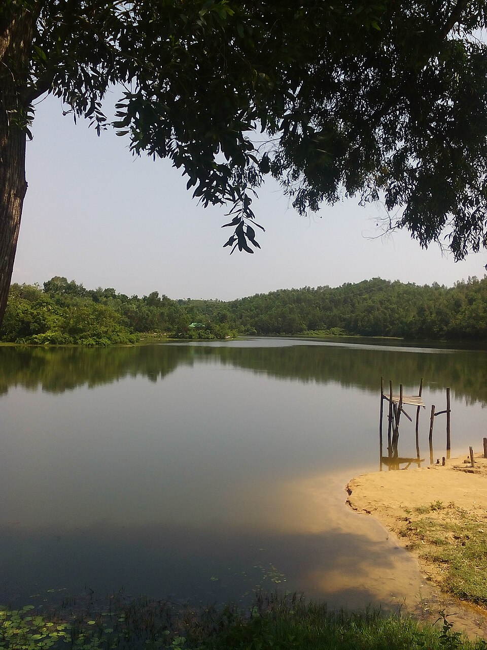
Prantik Lake
A quiet dammed lake at Holudia in Suyalok, on the Keranihat road 16 km from town, on the district's edge (prantik): forest round the water, paddle boats, picnic grounds and a cottage, for an afternoon out of the hills.
 WaterfallNipun Paul(nx4338) · CC BY-SA 4.0
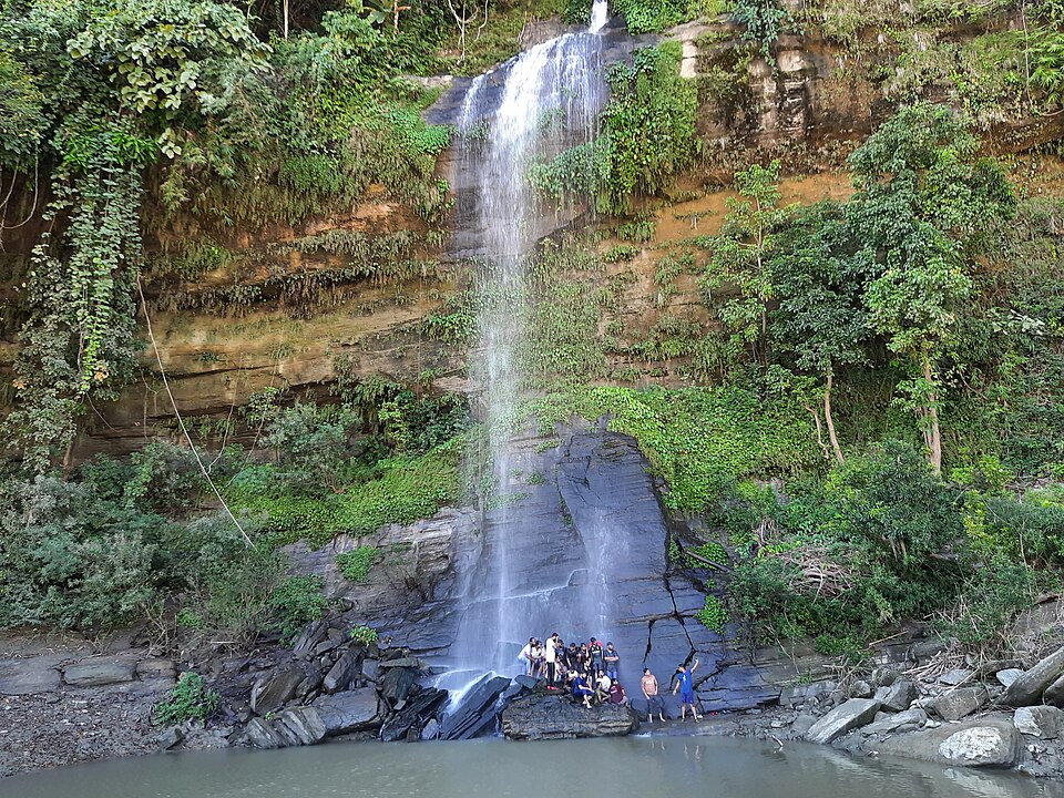
Rijuk Waterfall
A 300-foot fall straight into the Sangu, 7 km downstream of Ruma bazar, seen from a boat: a white ribbon off the cliff into the green river, full from July to October.
 River, lake and haorMuntasir du · Public domain
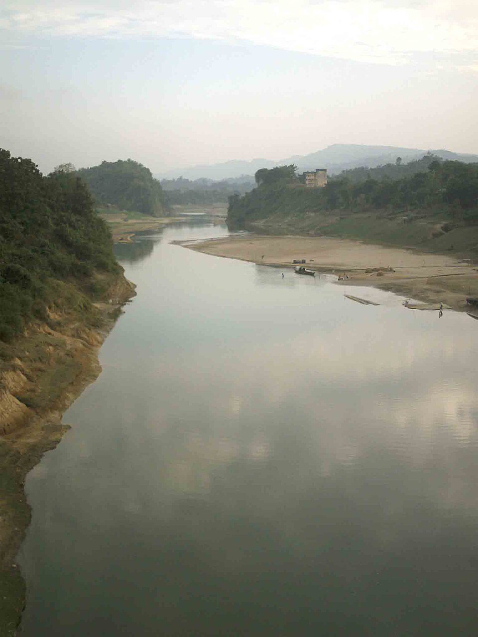
Sangu River
The hill river that runs 294 km from the Myanmar border through Thanchi, Ruma and Bandarban town to the sea at Chattogram: boat rides from the town ghat, and the upstream journey from Thanchi through Tindu to Remakri that is one of the great trips in the country.
 WaterfallSabilaenun · CC BY-SA 3.0
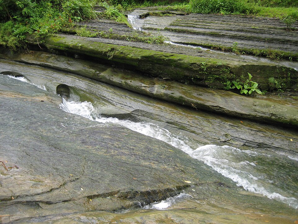
Shoilo Propat
A stream fall over a slab of rock beside the Thanchi road, 8 km from town, with a Bawm village market at the top: the first stop on every drive to Chimbuk and Nilgiri, best in the rains.
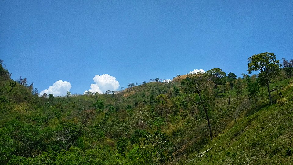 Hills and mountainsMorshed Rahman Zubaer · CC BY-SA 4.0
Tazing Dong (Bijoy)
The 830-metre peak in the Saichol range of Ruma, officially named Bijoy and long claimed as the country's highest: a two-day trek from Boga Lake or Keokradong through Bawm and Tripura villages, quieter than its neighbour.
Sources 2
Times, fares and opening hours change. Check before you go.
Take this guide offline.
The same guide, every place and photo, on your phone without a connection. Mark the district when you get there.