Viewpoint and sunset spot, Bandarban

Nilachalনীলাচল

Time needed
An hour and a half.
best months
Nov–Feb
Cost
Entry about ৳50.

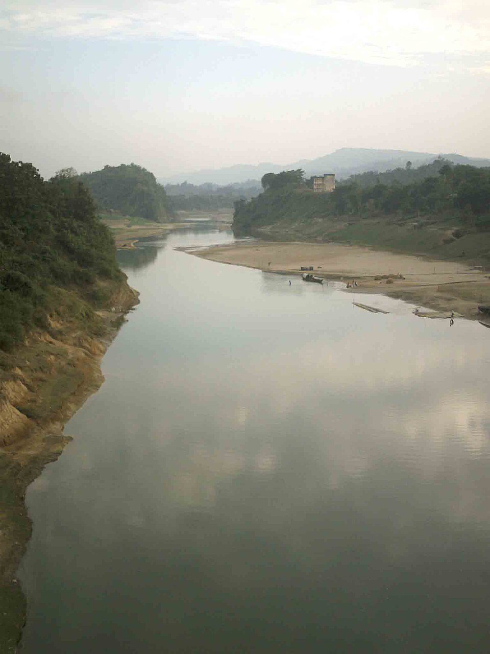
The viewpoint complex on the hill at Tigerpara, 6 km from town, run by the district: railed terraces over the town and the Sangu valley, a sunset the whole town drives up for, and the easiest hill in Bandarban.

Plan your visit

Opening
Daily, morning to after sunset.

At a glance

Height
About 2,000 ft
Opened
2006

About

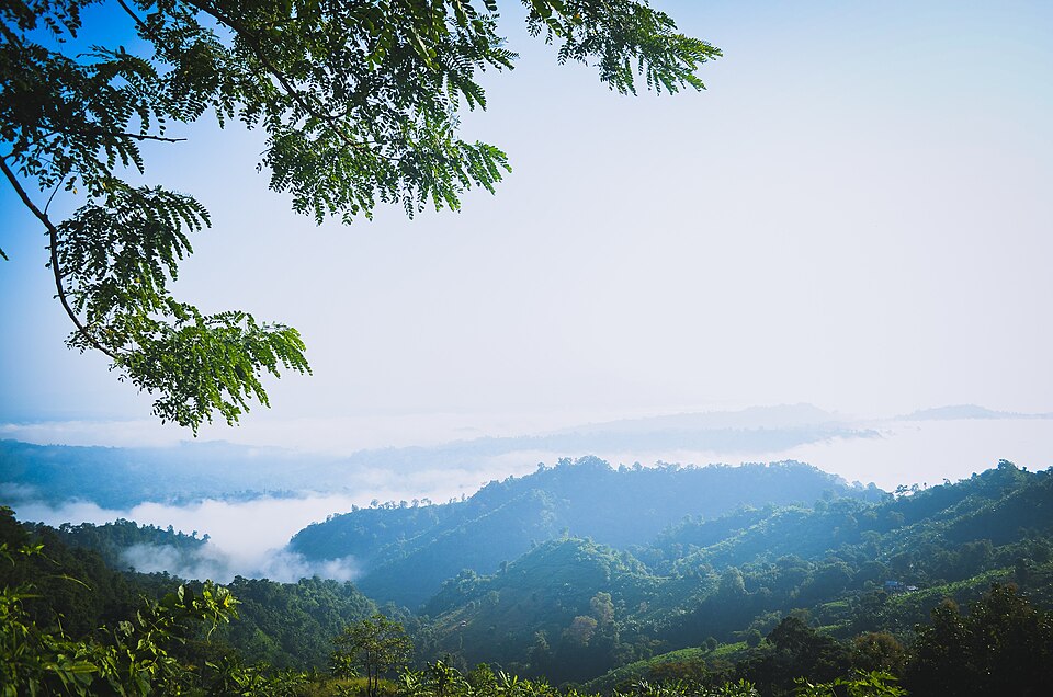
Opened in 2006 on a 2,000-foot hill, Nilachal has viewing platforms on several levels, a few cottages, a cafe and swings for children; on a clear day you see the town below, the river winding south, and on the horizon the hills toward Chimbuk. It is a 20-minute ride from the bus stand and the place to go on the first evening, or at dawn in winter when cloud sits in the valley.

Getting there: CNG or jeep from the town, 20 minutes.

Things to do

  • Sunset from the top terrace.

Good to know

  • Holiday evenings are crowded; a weekday dawn is empty.
Getting there

Read the Bandarban guide

Nearby

Buddhist vihara and pagodaFahad Faisal · CC BY-SA 4.0

Buddha Dhatu Jadi (Golden Temple)

3 km, Bandarban

The gilded Theravada stupa on a hill at Balaghata, 4 km from town, built in 2000 in the Burmese (Arakanese) style with relics of the Buddha: the largest Theravada temple in the country and the district's landmark.

WaterfallSabilaenun · CC BY-SA 3.0

Shoilo Propat

5 km, Bandarban

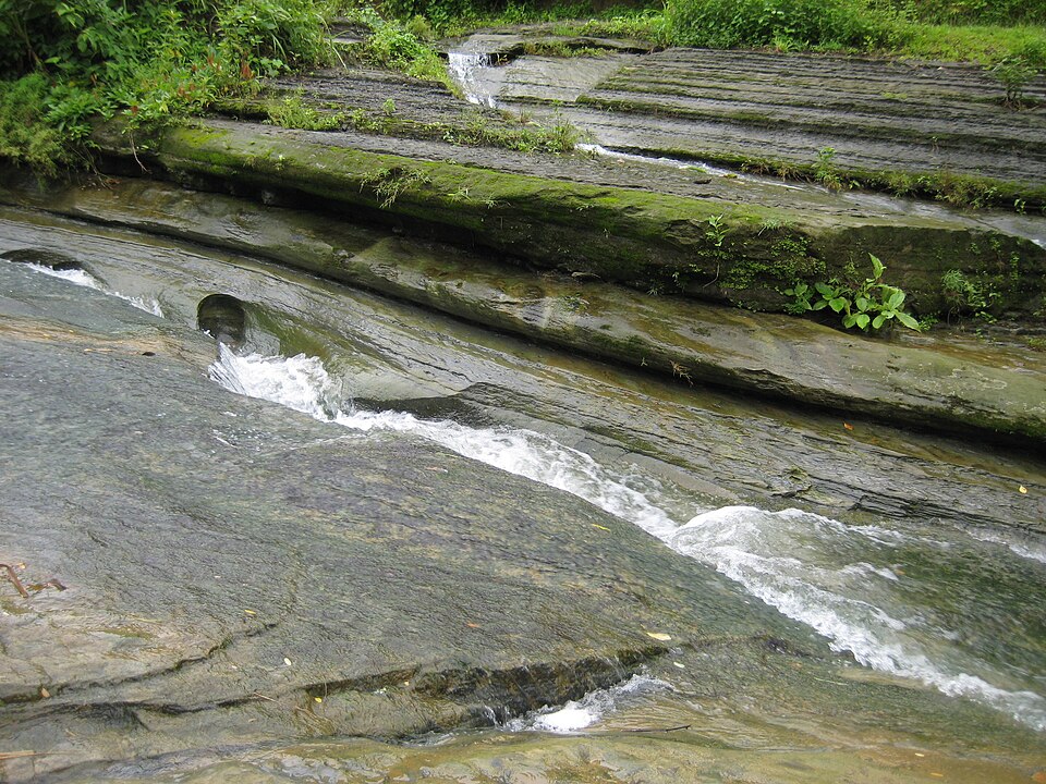
A stream fall over a slab of rock beside the Thanchi road, 8 km from town, with a Bawm village market at the top: the first stop on every drive to Chimbuk and Nilgiri, best in the rains.

River, lake and haorSM Sawash · CC BY-SA 4.0

Prantik Lake

11 km, Bandarban

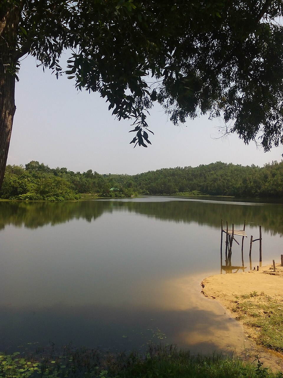
A quiet dammed lake at Holudia in Suyalok, on the Keranihat road 16 km from town, on the district's edge (prantik): forest round the water, paddle boats, picnic grounds and a cottage, for an afternoon out of the hills.

River, lake and haorঅভিজিৎ দাস · CC BY-SA 4.0

Debotakhum

17 km, Bandarban

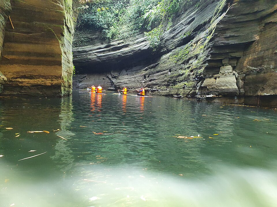
A 600-foot-long pool of still water, 50 to 70 feet deep, between sheer rock walls in Rowangchhari, floated on a bamboo raft after a walk from Kochhoptoli: the easiest of the khums and one of the most beautiful.

Viewpoint and sunset spotলাজ মাহমুদ · CC BY-SA 4.0

Chimbuk Hill

17 km, Bandarban

The 2,500-foot hill on the Thanchi road, 26 km from town, with a rest house and lookout on top and Mro villages on its slopes: the "Darjeeling of Bengal" to an older generation, and the halfway stop to Nilgiri.

River, lake and haorMuntasir du · Public domain

Sangu River

21 km, Bandarban

The hill river that runs 294 km from the Myanmar border through Thanchi, Ruma and Bandarban town to the sea at Chattogram: boat rides from the town ghat, and the upstream journey from Thanchi through Tindu to Remakri that is one of the great trips in the country.

Location

Nilachal, Bandarban

Suggest a correction

Times, fares and opening hours change. Check before you go.

Been here? Mark it in the app.

Your visited places and districts fill in your map, earn badges, and travel with you offline.