River, lake and haor, Bandarban

Sangu Riverসাঙ্গু নদী

Time needed
An hour in town; a day upstream.
best months
Oct–Feb
Cost
Town boats ৳300–500 an hour; Thanchi–Remakri ৳4,000–6,000 return.

The hill river that runs 294 km from the Myanmar border through Thanchi, Ruma and Bandarban town to the sea at Chattogram: boat rides from the town ghat, and the upstream journey from Thanchi through Tindu to Remakri that is one of the great trips in the country.

At a glance

Length
294 km
Upstream route
Thanchi → Tindu → Remakri

About

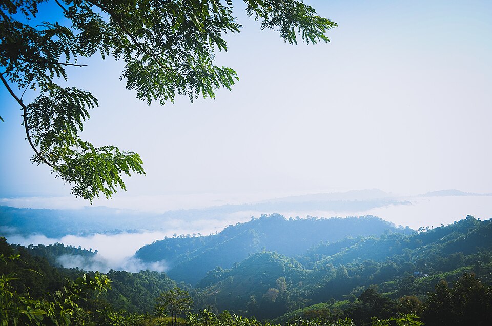
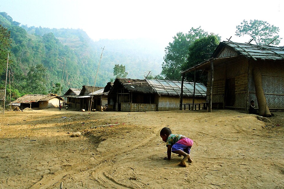
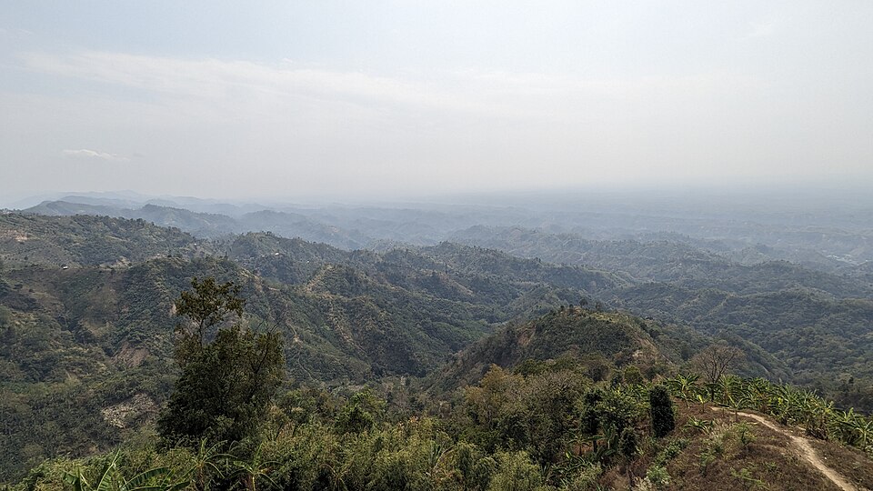
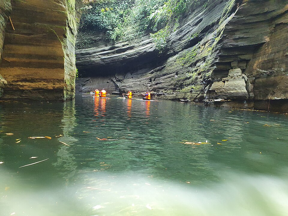
The Sangu (Shankha) is the one river in the country that rises inside its hills. In the town it is wide and slow under the bridge, with boats for an hour's ride past the Marma villages and bamboo rafts coming down. Upstream from Thanchi it becomes another river: a green gorge, the Tindu rapids, the boulder field of Raja Pathar, Marma villages on the terraces and the engine boats working against the current to Remakri. Winter is low and clear; after rain the river is brown, fast and sometimes closed.

Getting there: Boats at the Sangu bridge ghat in town; upstream boats from Thanchi bazar.

Things to do

  • An evening boat from the town ghat; the Thanchi–Remakri run if you have two days.

Good to know

  • Life jackets on every boat above Thanchi; the rapids tip boats every season.
Getting there

Read the Bandarban guide

Nearby

WaterfallNipun Paul(nx4338) · CC BY-SA 4.0

Rijuk Waterfall

7 km, Bandarban

A 300-foot fall straight into the Sangu, 7 km downstream of Ruma bazar, seen from a boat: a white ribbon off the cliff into the green river, full from July to October.

Viewpoint and sunset spotলাজ মাহমুদ · CC BY-SA 4.0

Chimbuk Hill

9 km, Bandarban

The 2,500-foot hill on the Thanchi road, 26 km from town, with a rest house and lookout on top and Mro villages on its slopes: the "Darjeeling of Bengal" to an older generation, and the halfway stop to Nilgiri.

River, lake and haorAditya Kabir · Public domain

Boga Lake

15 km, Bandarban

A deep blue lake in a crater at about 1,250 feet in Ruma, held sacred by the Bawm village on its shore, the base camp for Keokradong: cottages by the water, a cold swim and a night under the stars after the jeep ride up from Ruma bazar.

Viewpoint and sunset spotTanvir Rahat · CC BY-SA 4.0

Nilgiri

17 km, Bandarban

The army-run hilltop resort at about 2,200 feet, 47 km from town on the Thanchi road: cloud below the cottages in the cold months and the ranges of the Hill Tracts in every direction; the most visited viewpoint in the district.

WaterfallSabilaenun · CC BY-SA 3.0

Shoilo Propat

18 km, Bandarban

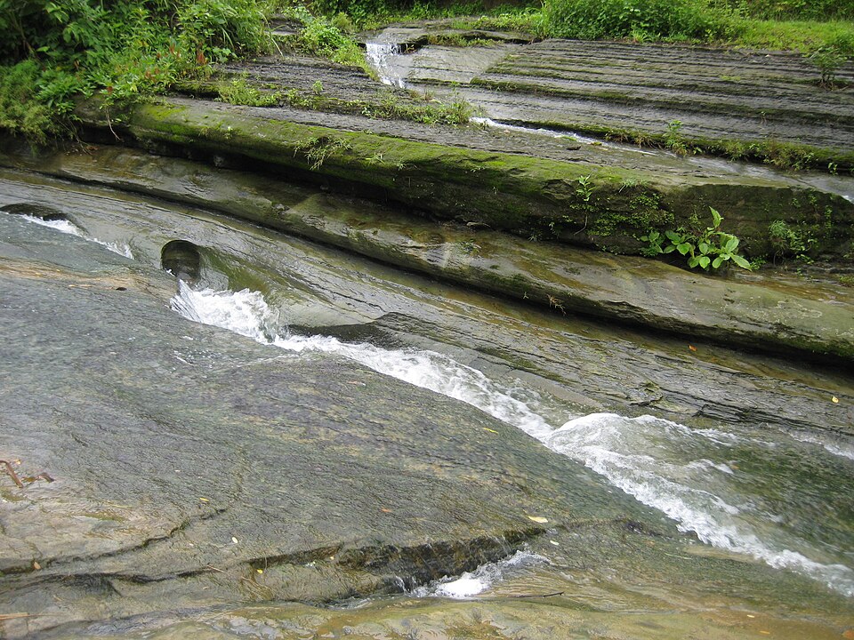
A stream fall over a slab of rock beside the Thanchi road, 8 km from town, with a Bawm village market at the top: the first stop on every drive to Chimbuk and Nilgiri, best in the rains.

River, lake and haorঅভিজিৎ দাস · CC BY-SA 4.0

Debotakhum

19 km, Bandarban

A 600-foot-long pool of still water, 50 to 70 feet deep, between sheer rock walls in Rowangchhari, floated on a bamboo raft after a walk from Kochhoptoli: the easiest of the khums and one of the most beautiful.

Location

Sangu River, Bandarban

Suggest a correction

Times, fares and opening hours change. Check before you go.

Been here? Mark it in the app.

Your visited places and districts fill in your map, earn badges, and travel with you offline.