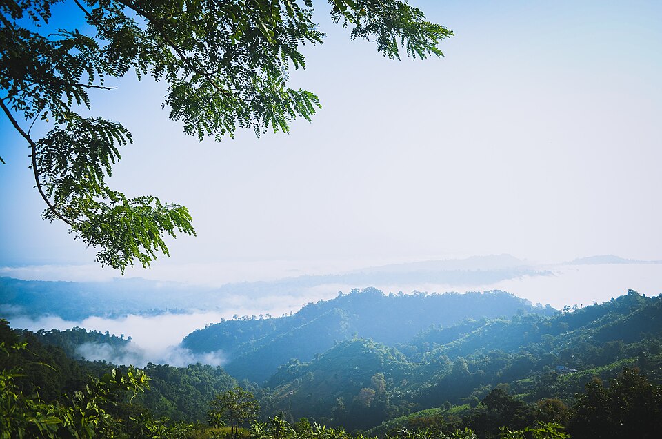
River, lake and haor, Bandarban

Debotakhumদেবতাখুম

Time needed
A day from town.
best months
Nov–Mar
Cost
Jeep ৳2,500–4,000 return; guide ৳500–800; raft ৳100–200.

A 600-foot-long pool of still water, 50 to 70 feet deep, between sheer rock walls in Rowangchhari, floated on a bamboo raft after a walk from Kochhoptoli: the easiest of the khums and one of the most beautiful.

At a glance

Length
About 600 ft
Depth
50–70 ft

About

From Rowangchhari bazar a jeep goes to Kochhoptoli, where the army checkpost registers you and a guide is taken, then it is an hour's walk along a stream to Pong Jhiri and the raft point. The raft, poled by a villager, slides into a corridor of rock where the water goes black-green and the sky is a strip overhead; silence is the point. It opened to visitors around 2018 and closes in the monsoon when the water rises. A day trip from town.

Getting there: Bandarban → Rowangchhari (1 h) → jeep to Kochhoptoli → register, guide → 1 h walk → raft.

Things to do

  • Go quiet on the raft; the gorge echoes everything.

Good to know

  • Closed in the rains; life jackets are given at the raft, wear them.
Getting there

Read the Bandarban guide

Nearby

Viewpoint and sunset spotSourov0000 · CC BY-SA 3.0

Nilachal

17 km, Bandarban

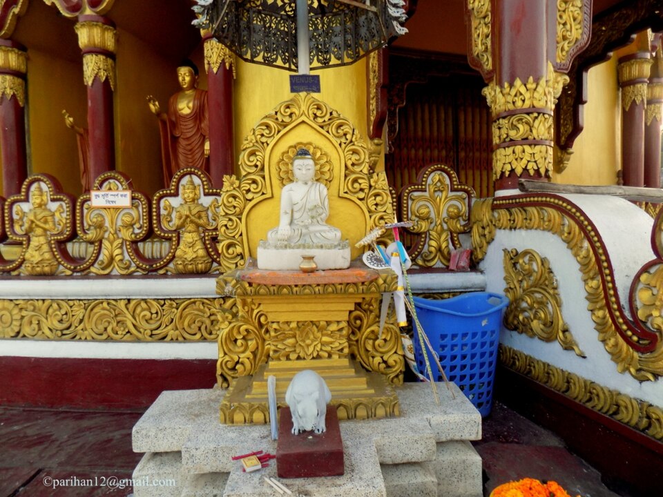
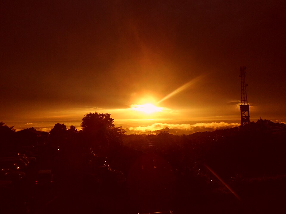
The viewpoint complex on the hill at Tigerpara, 6 km from town, run by the district: railed terraces over the town and the Sangu valley, a sunset the whole town drives up for, and the easiest hill in Bandarban.

Buddhist vihara and pagodaFahad Faisal · CC BY-SA 4.0

Buddha Dhatu Jadi (Golden Temple)

18 km, Bandarban

The gilded Theravada stupa on a hill at Balaghata, 4 km from town, built in 2000 in the Burmese (Arakanese) style with relics of the Buddha: the largest Theravada temple in the country and the district's landmark.

WaterfallSabilaenun · CC BY-SA 3.0

Shoilo Propat

19 km, Bandarban

A stream fall over a slab of rock beside the Thanchi road, 8 km from town, with a Bawm village market at the top: the first stop on every drive to Chimbuk and Nilgiri, best in the rains.

River, lake and haorMuntasir du · Public domain

Sangu River

19 km, Bandarban

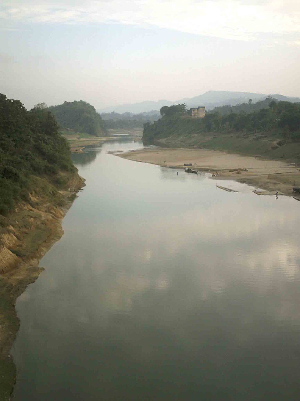
The hill river that runs 294 km from the Myanmar border through Thanchi, Ruma and Bandarban town to the sea at Chattogram: boat rides from the town ghat, and the upstream journey from Thanchi through Tindu to Remakri that is one of the great trips in the country.

Waterfallআহমেদ প্রবুদ্ধ হাসান নিনাদ · CC BY-SA 4.0

Dhuppani Waterfall

20 km, Rangamati

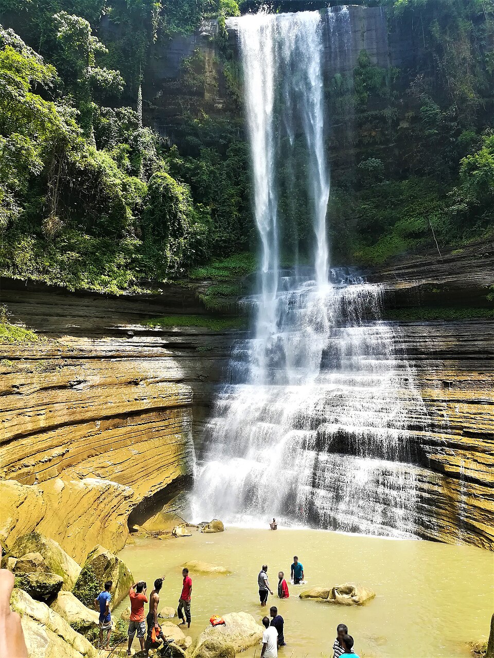
A high fall in the deep hills of Bilaichhari, reached by boat from Kaptai and a hard walk: water drops about 200 feet in a white curtain (dhup pani, "white water") into a gorge with a cave behind it; a monk's meditation site, open to visitors only on certain days.

Viewpoint and sunset spotলাজ মাহমুদ · CC BY-SA 4.0

Chimbuk Hill

22 km, Bandarban

The 2,500-foot hill on the Thanchi road, 26 km from town, with a rest house and lookout on top and Mro villages on its slopes: the "Darjeeling of Bengal" to an older generation, and the halfway stop to Nilgiri.

Location

Debotakhum, Bandarban

Suggest a correction

Times, fares and opening hours change. Check before you go.

Been here? Mark it in the app.

Your visited places and districts fill in your map, earn badges, and travel with you offline.