Waterfall, Rangamati

Dhuppani Waterfallধুপপানি ঝরনা

Time needed
A full day from Kaptai, start at dawn.
best months
Sep–Nov
Cost
Boat ৳3,000–5,000 for a group; guide ৳500–1,000.

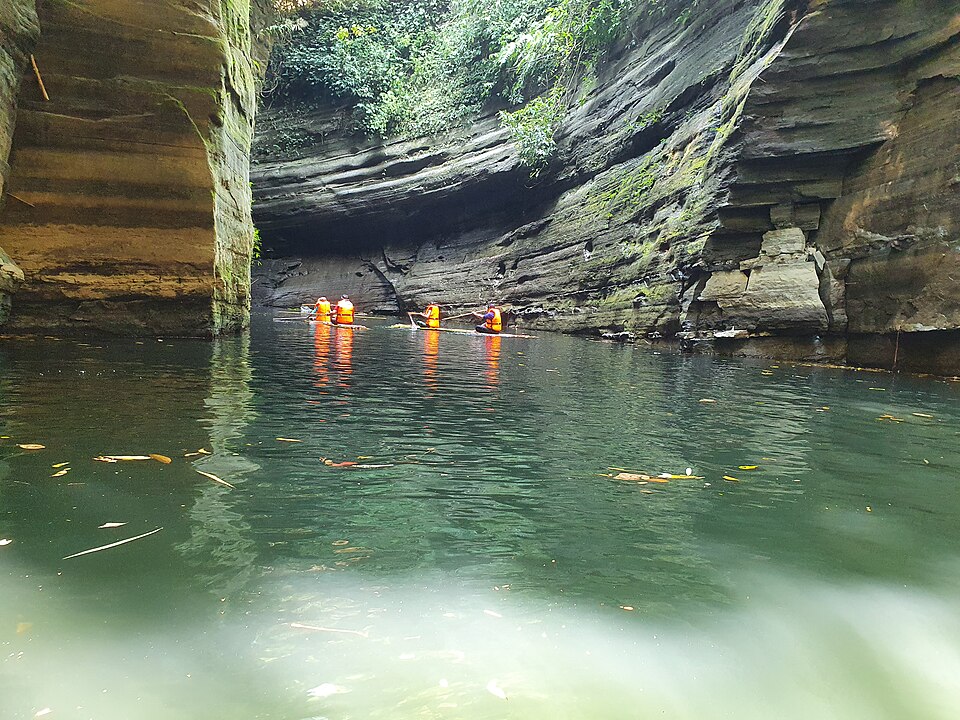
A high fall in the deep hills of Bilaichhari, reached by boat from Kaptai and a hard walk: water drops about 200 feet in a white curtain (dhup pani, "white water") into a gorge with a cave behind it; a monk's meditation site, open to visitors only on certain days.

Plan your visit

Best time
September to November; Fridays and Saturdays only.

At a glance

Height
About 200 ft
Open
Fridays and Saturdays

About

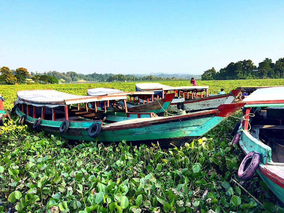
Dhuppani is at Oracchari in Farua union. From Kaptai a boat goes up the Kaptai–Bilaichhari waterway to Ullachhari (about three hours), then it is two or three hours on foot up and down steep hills to the fall. A monk has meditated beside it for years and asks for quiet; the local committee allows visits on Fridays and Saturdays only, and the army registers everyone. The reward is one of the tallest falls in the country, loud after the rains, with a bathing pool and the cave under the drop.

Getting there: Kaptai → boat to Ullachhari (about 3 h) → on foot with a guide (2–3 h).

Things to do

  • Bathe in the pool and sit in the cave behind the fall.

Good to know

  • Fitness needed; grip shoes, water, salt for leeches, and silence near the monk's hut.
Getting there

Read the Rangamati guide

Nearby

River, lake and haorঅভিজিৎ দাস · CC BY-SA 4.0

Debotakhum

20 km, Bandarban

A 600-foot-long pool of still water, 50 to 70 feet deep, between sheer rock walls in Rowangchhari, floated on a bamboo raft after a walk from Kochhoptoli: the easiest of the khums and one of the most beautiful.

River, lake and haorMohammad Rafi Saad · CC BY-SA 4.0

Kaptai Lake

21 km, Rangamati

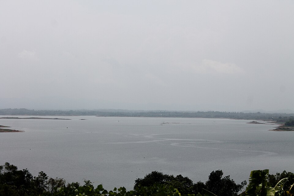
The largest man-made lake in the country, about 700 km² of water behind the Kaptai dam on the Karnaphuli, filled in 1962: the whole district is organised around it, and a day in a boat on it is the Rangamati trip.

Monument and memorialMoheen Reeyad · CC BY-SA 4.0

Kaptai Dam

21 km, Rangamati

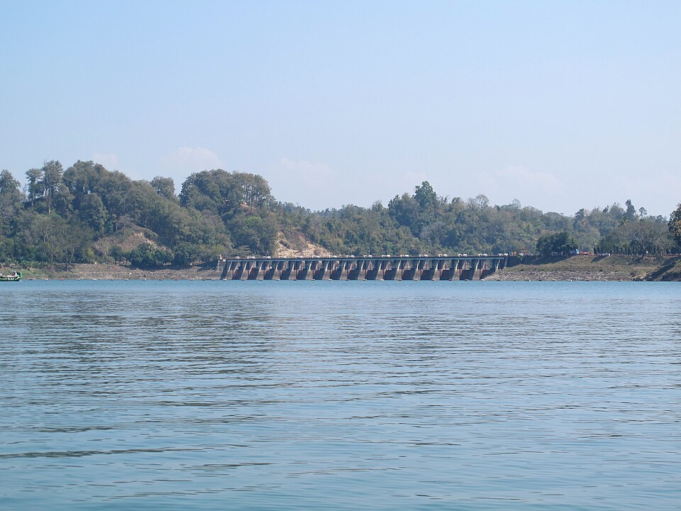
The earth dam across the Karnaphuli, completed in 1962, that made the lake and runs the country's only hydroelectric station: a 670-metre embankment with a spillway of 16 gates, seen from the lake side or the navy road.

Forest and mangroveSiraj Akram Kayes · CC BY-SA 4.0

Kaptai National Park

24 km, Rangamati

About 5,500 hectares of old mixed evergreen forest on the hills above the Karnaphuli at Kaptai, a national park since 1999: elephants, gibbons, hornbills, teak planted by the British in 1873, and trails from the Kaptai road.

Buddhist vihara and pagodaFahad Faisal · CC BY-SA 4.0

Buddha Dhatu Jadi (Golden Temple)

31 km, Bandarban

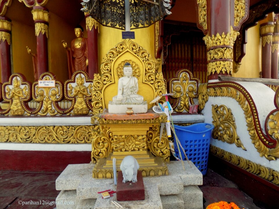
The gilded Theravada stupa on a hill at Balaghata, 4 km from town, built in 2000 in the Burmese (Arakanese) style with relics of the Buddha: the largest Theravada temple in the country and the district's landmark.

Viewpoint and sunset spotSourov0000 · CC BY-SA 3.0

Nilachal

31 km, Bandarban

The viewpoint complex on the hill at Tigerpara, 6 km from town, run by the district: railed terraces over the town and the Sangu valley, a sunset the whole town drives up for, and the easiest hill in Bandarban.

Location

Dhuppani Waterfall, Rangamati

Suggest a correction

Times, fares and opening hours change. Check before you go.

Been here? Mark it in the app.

Your visited places and districts fill in your map, earn badges, and travel with you offline.