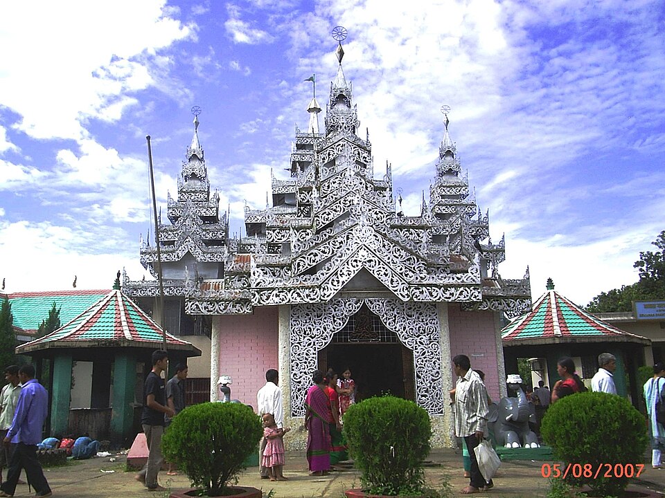
Monument and memorial, Rangamati

Kaptai Damকাপ্তাই বাঁধ

Time needed
An hour.
best months
Sep–Feb
Cost
Free from the road.

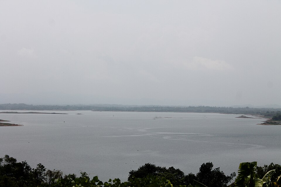
The earth dam across the Karnaphuli, completed in 1962, that made the lake and runs the country's only hydroelectric station: a 670-metre embankment with a spillway of 16 gates, seen from the lake side or the navy road.

At a glance

Completed
1962
Spillway gates
16

About

Built with American aid between 1957 and 1962, the dam is 54 metres high and backs up the lake that drowned the valley; its powerhouse gives 230 megawatts. The dam itself is a restricted area, but the lake-side road at Kaptai, the spillway view and the boat landings beside it are open, and the water pouring through the gates after the rains is a sight. The Kaptai town has the navy and the power station; the national park is next door.

Getting there: Kaptai town, an hour by bus from Rangamati or Chattogram.

Things to do

  • See the spillway from the lake road after the rains.

Good to know

  • No photography of the dam structures and the navy area.
Getting there

Read the Rangamati guide

Nearby

River, lake and haorMohammad Rafi Saad · CC BY-SA 4.0

Kaptai Lake

0 km, Rangamati

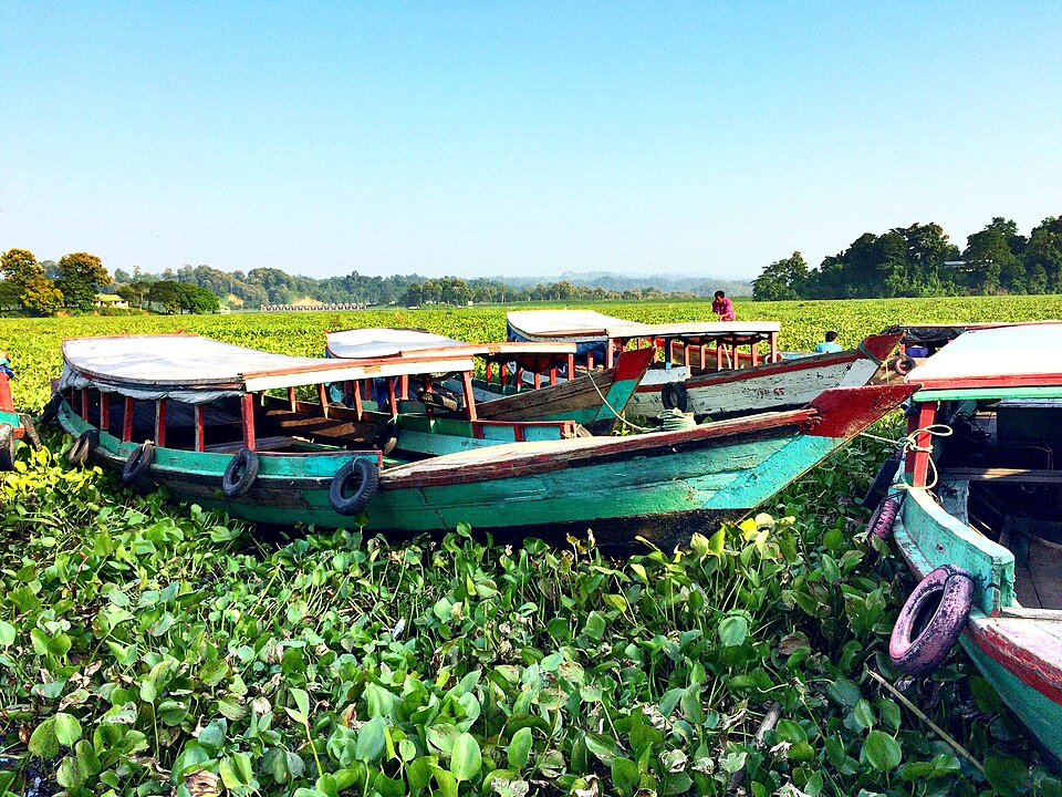
The largest man-made lake in the country, about 700 km² of water behind the Kaptai dam on the Karnaphuli, filled in 1962: the whole district is organised around it, and a day in a boat on it is the Rangamati trip.

Forest and mangroveSiraj Akram Kayes · CC BY-SA 4.0

Kaptai National Park

3 km, Rangamati

About 5,500 hectares of old mixed evergreen forest on the hills above the Karnaphuli at Kaptai, a national park since 1999: elephants, gibbons, hornbills, teak planted by the British in 1873, and trails from the Kaptai road.

Monument and memorialShakhawat Hossen Shafat · CC BY-SA 4.0

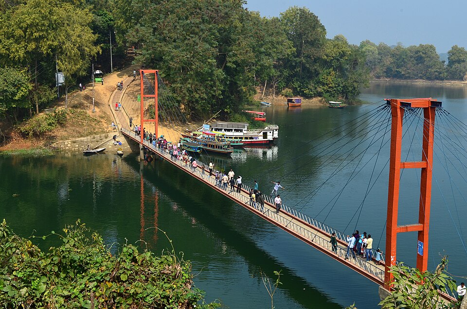
Hanging Bridge

15 km, Rangamati

The 335-foot suspension footbridge between two lake islands at the Parjatan complex, built in 1984: the picture of Rangamati on every postcard, and the first stop of every boat.

Park, eco park and picnic spotZahirul Islam Iqbal · CC BY-SA 4.0

Polwel Park

16 km, Rangamati

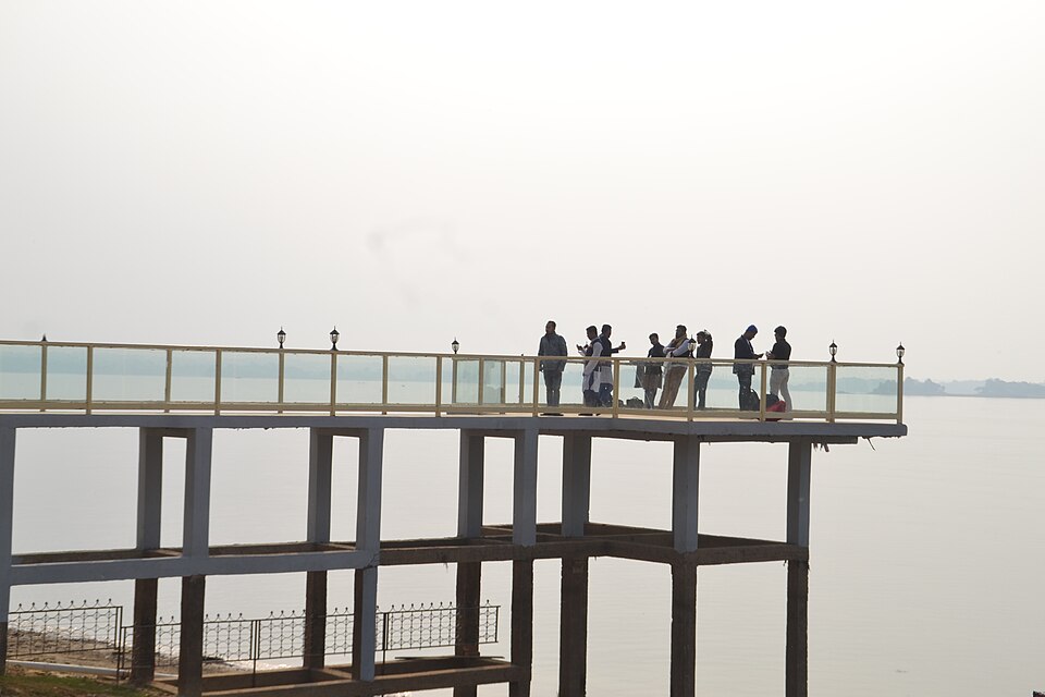
The police welfare park on the lake shore in the town: a lakeside walk, a small hanging bridge, cottages, boats and "Love Point", the town's own evening spot.

Food spotSabrina Naz · CC BY-SA 4.0

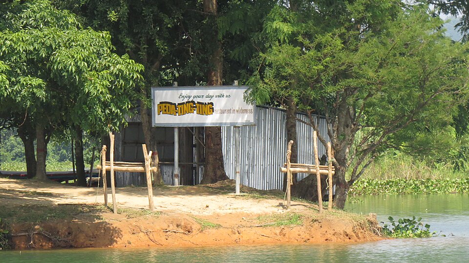
Peda Ting Ting

18 km, Rangamati

The island restaurant on Kaptai Lake that made hill food a destination: Chakma dishes with bamboo shoot, nappi and lake fish, cottages among the trees, reached by boat on the way to Shuvolong.

Buddhist vihara and pagodaSouvik.arko · Public domain

Rajban Vihara

20 km, Rangamati

The largest Buddhist monastery in the country, on a lake island at the edge of town, home of the late Banabhante, the forest monk whose preserved body lies here: a complex of halls, stupas and shrines under the Chakma raja's patronage.

Location

Kaptai Dam, Rangamati

Suggest a correction

Times, fares and opening hours change. Check before you go.

Been here? Mark it in the app.

Your visited places and districts fill in your map, earn badges, and travel with you offline.