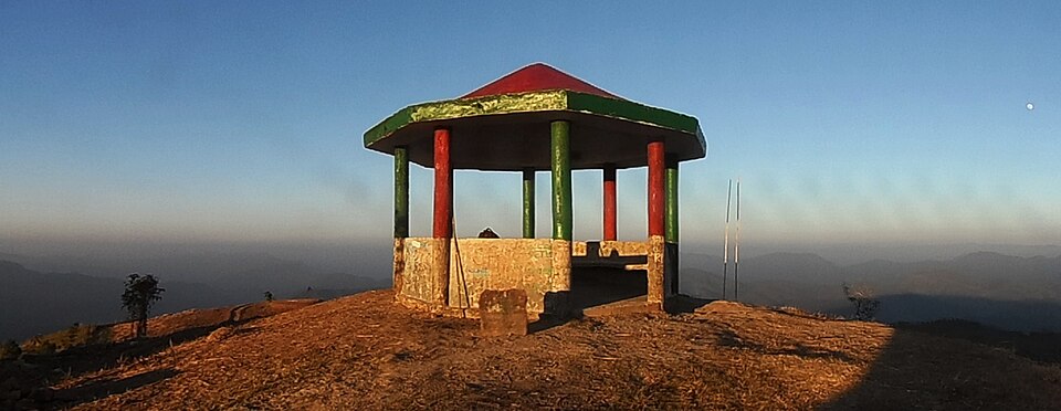
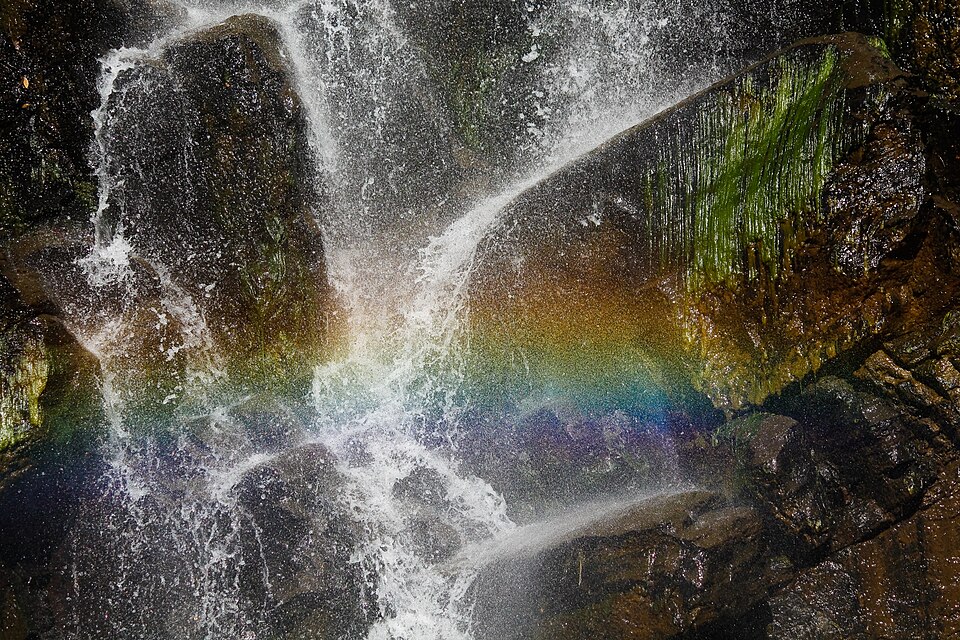
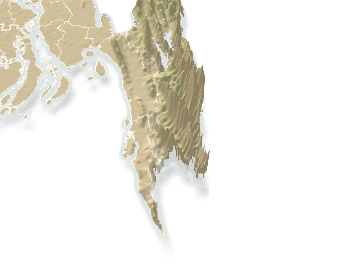
Viewpoint and sunset spot, Bandarban

Nilgiriনীলগিরি

Time needed
Half a day from town; a night for the dawn.
best months
Nov–Feb
Cost
Entry about ৳50 plus vehicle; cottages ৳5,000 and up.

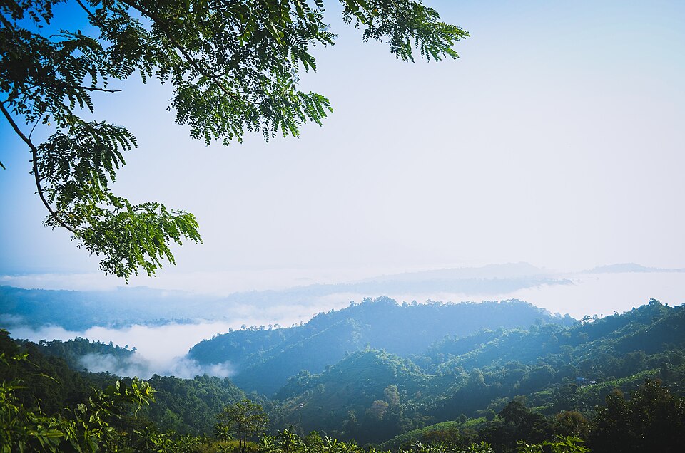
The army-run hilltop resort at about 2,200 feet, 47 km from town on the Thanchi road: cloud below the cottages in the cold months and the ranges of the Hill Tracts in every direction; the most visited viewpoint in the district.

Plan your visit

Best time
November to February, before 9 am.

At a glance

Height
About 2,200 ft
From town
47 km on the Thanchi road

About

Nilgiri sits on the Tengplong Chut summit above the road, with a handful of cottages, a restaurant, a helipad and railed lookouts all round. Day visitors pay at the gate and stay an hour or two for the view; those who book a cottage (through the army, months ahead in winter) get the dawn, when the valleys fill with cloud and the hills stand out of it like islands. The drive up from town past Shoilo Propat and Chimbuk is itself the morning.

Getting there: Chander gari or reserved jeep from the town stand, 1.5–2 hours; the Thanchi bus stops at the gate.

Things to do

  • Go up before the cloud lifts; stop at Chimbuk and Shoilo Propat on the way down.

Good to know

  • Jeeps leave town at 7 am for a reason; by noon the view is haze.
Getting there

Read the Bandarban guide

Nearby

WaterfallNipun Paul(nx4338) · CC BY-SA 4.0

Rijuk Waterfall

14 km, Bandarban

A 300-foot fall straight into the Sangu, 7 km downstream of Ruma bazar, seen from a boat: a white ribbon off the cliff into the green river, full from July to October.

River, lake and haorAditya Kabir · Public domain

Boga Lake

17 km, Bandarban

A deep blue lake in a crater at about 1,250 feet in Ruma, held sacred by the Bawm village on its shore, the base camp for Keokradong: cottages by the water, a cold swim and a night under the stars after the jeep ride up from Ruma bazar.

Viewpoint and sunset spotলাজ মাহমুদ · CC BY-SA 4.0

Chimbuk Hill

17 km, Bandarban

The 2,500-foot hill on the Thanchi road, 26 km from town, with a rest house and lookout on top and Mro villages on its slopes: the "Darjeeling of Bengal" to an older generation, and the halfway stop to Nilgiri.

River, lake and haorMuntasir du · Public domain

Sangu River

17 km, Bandarban

The hill river that runs 294 km from the Myanmar border through Thanchi, Ruma and Bandarban town to the sea at Chattogram: boat rides from the town ghat, and the upstream journey from Thanchi through Tindu to Remakri that is one of the great trips in the country.

Hills and mountainsFahimhasan · CC BY-SA 3.0

Keokradong

20 km, Bandarban

The 986-metre peak above Boga Lake, for decades called the highest in the country and still the classic trek: a day's climb through Bawm villages to a summit shelter with the Myanmar hills on the horizon.

WaterfallFaisal Akram from Dhaka, Bangladesh · CC BY-SA 2.0

Jadipai Waterfall

23 km, Bandarban

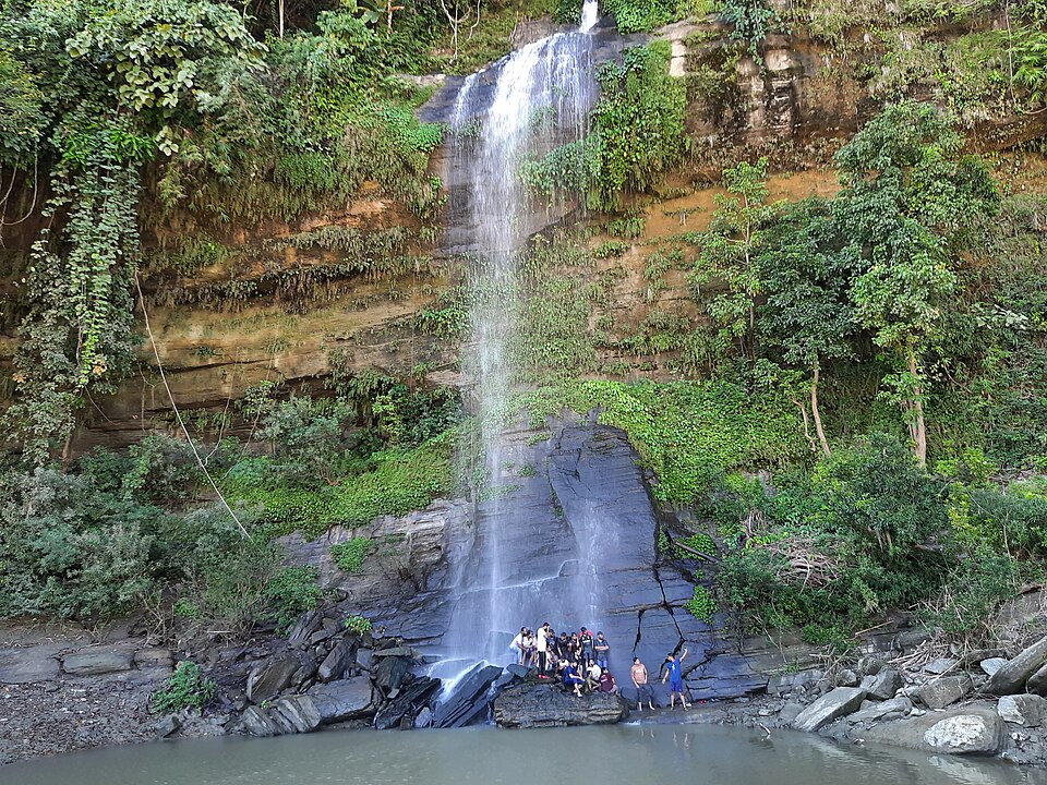
One of the widest falls in the country, below Jadipai para on the far side of Keokradong: a steep two-hour descent from the peak to a broad white curtain over rock, roaring in the rains, with a rainbow in the spray on sunny mornings.

Location

Nilgiri, Bandarban

Suggest a correction

Times, fares and opening hours change. Check before you go.

Been here? Mark it in the app.

Your visited places and districts fill in your map, earn badges, and travel with you offline.