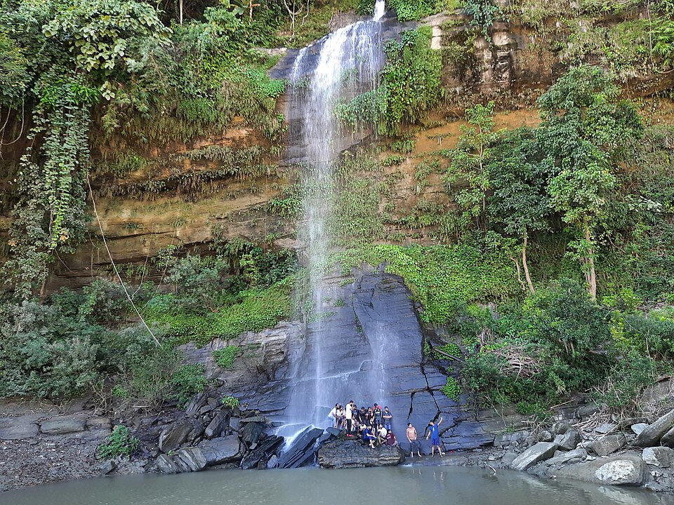
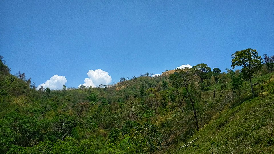
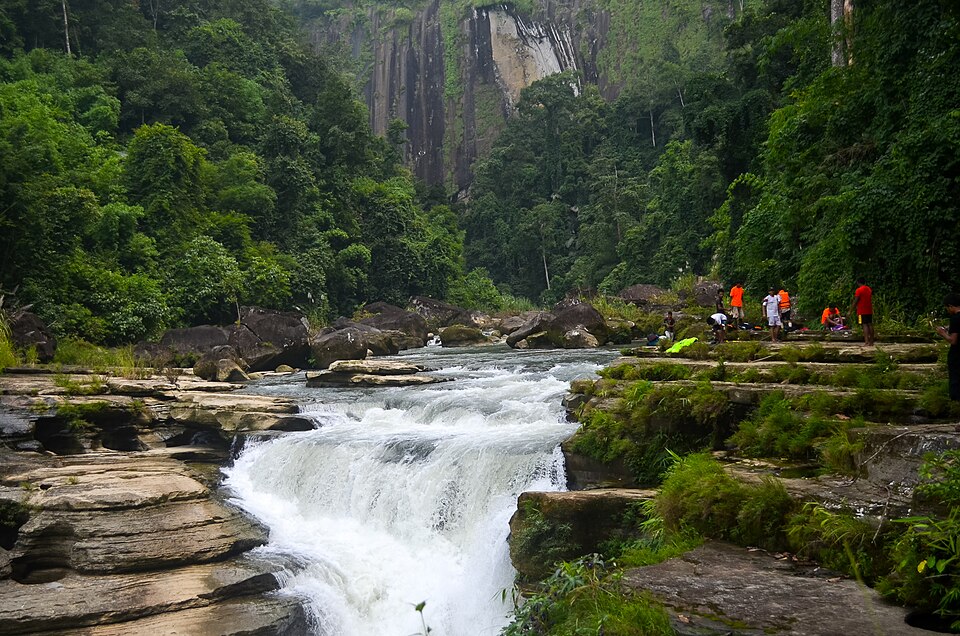
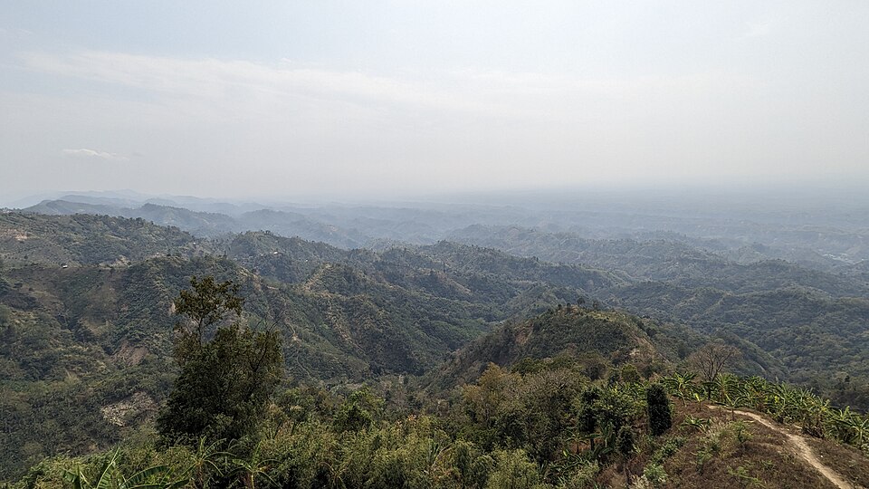
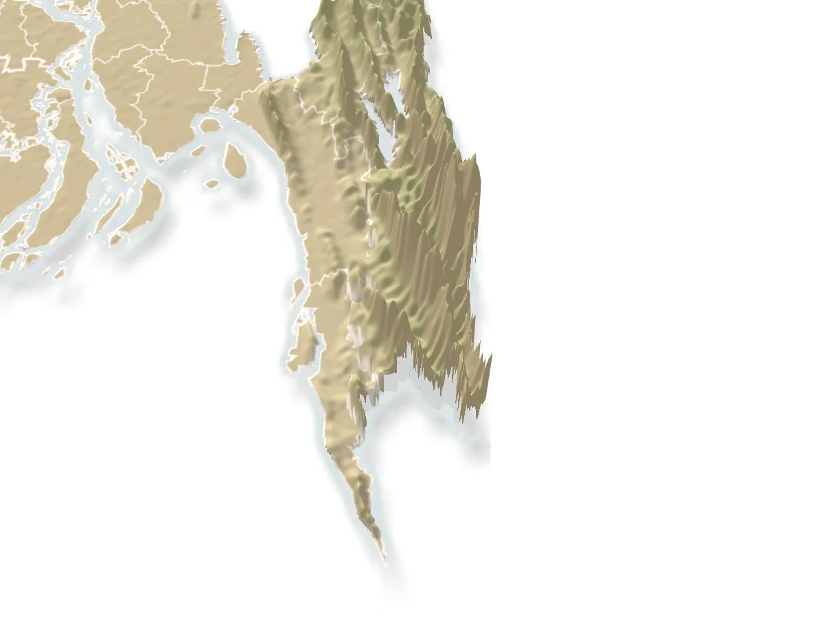
Hills and mountains, Bandarban

Keokradongকেওক্রাডং

Time needed
A day from Boga Lake; a night at Keokradong para for the dawn.
best months
Nov–Feb
Cost
Guide ৳1,000–1,500 a day; village beds ৳200–300.

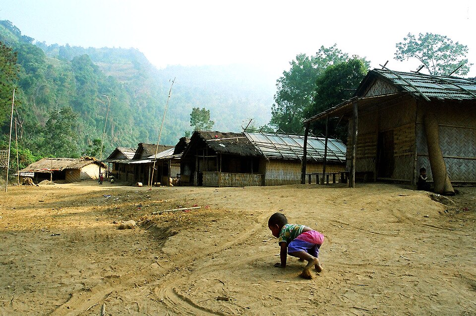
The 986-metre peak above Boga Lake, for decades called the highest in the country and still the classic trek: a day's climb through Bawm villages to a summit shelter with the Myanmar hills on the horizon.

At a glance

Height
About 986 m
Trail
About 10 km from Boga Lake

About

From Boga Lake the trail climbs about 10 km through Darjeeling para and Keokradong para (where there is tea and a bed), up a last steep stair to the top, where the army keeps a small shelter and a signboard. The walk takes four to six hours each way at an ordinary pace, or a jeep now goes most of the way on a rough track. Saka Haphong and other peaks on the border are higher, but Keokradong has the trail, the villages and the sunrise. Guides and army registration are required from Ruma.

Getting there: From Boga Lake on foot with a guide, or by jeep on the track to near the top.

Things to do

  • Sleep at Keokradong para and be on the summit for sunrise.

Good to know

  • Walk, do not jeep, if you came for the hills; carry two litres of water and warm clothes for the night.
Getting there

Read the Bandarban guide

Nearby

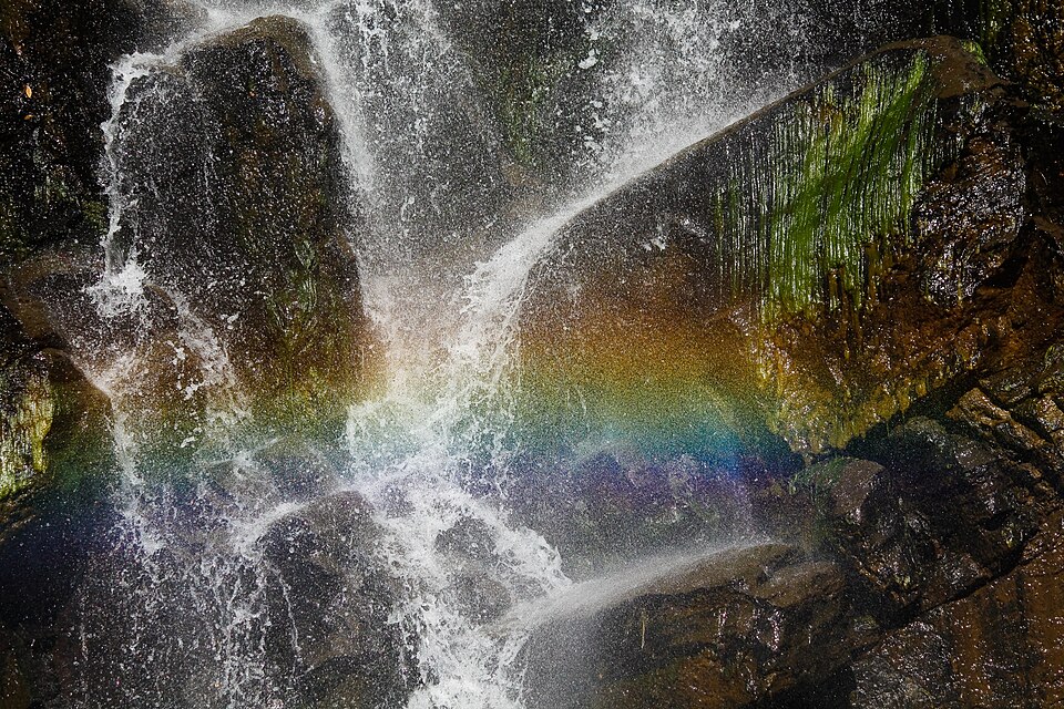
WaterfallFaisal Akram from Dhaka, Bangladesh · CC BY-SA 2.0

Jadipai Waterfall

5 km, Bandarban

One of the widest falls in the country, below Jadipai para on the far side of Keokradong: a steep two-hour descent from the peak to a broad white curtain over rock, roaring in the rains, with a rainbow in the spray on sunny mornings.

River, lake and haorAditya Kabir · Public domain

Boga Lake

6 km, Bandarban

A deep blue lake in a crater at about 1,250 feet in Ruma, held sacred by the Bawm village on its shore, the base camp for Keokradong: cottages by the water, a cold swim and a night under the stars after the jeep ride up from Ruma bazar.

WaterfallNipun Paul(nx4338) · CC BY-SA 4.0

Rijuk Waterfall

14 km, Bandarban

A 300-foot fall straight into the Sangu, 7 km downstream of Ruma bazar, seen from a boat: a white ribbon off the cliff into the green river, full from July to October.

Hills and mountainsMorshed Rahman Zubaer · CC BY-SA 4.0

Tazing Dong (Bijoy)

15 km, Bandarban

The 830-metre peak in the Saichol range of Ruma, officially named Bijoy and long claimed as the country's highest: a two-day trek from Boga Lake or Keokradong through Bawm and Tripura villages, quieter than its neighbour.

WaterfallKazi Mahmudur Rahman · CC BY-SA 4.0

Amiakhum

20 km, Bandarban

The fall and gorge in the Nakshiyang reach of the Sangu beyond Nafakhum, a day further on foot: white water through a slot in black rock, the Satbhaikhum pools below, and the hardest trek the ordinary visitor does in Bangladesh.

Viewpoint and sunset spotTanvir Rahat · CC BY-SA 4.0

Nilgiri

20 km, Bandarban

The army-run hilltop resort at about 2,200 feet, 47 km from town on the Thanchi road: cloud below the cottages in the cold months and the ranges of the Hill Tracts in every direction; the most visited viewpoint in the district.

Location

Keokradong, Bandarban

Suggest a correction

Times, fares and opening hours change. Check before you go.

Been here? Mark it in the app.

Your visited places and districts fill in your map, earn badges, and travel with you offline.