 Viewpoint and sunset spotFahad Faisal · CC BY-SA 4.0
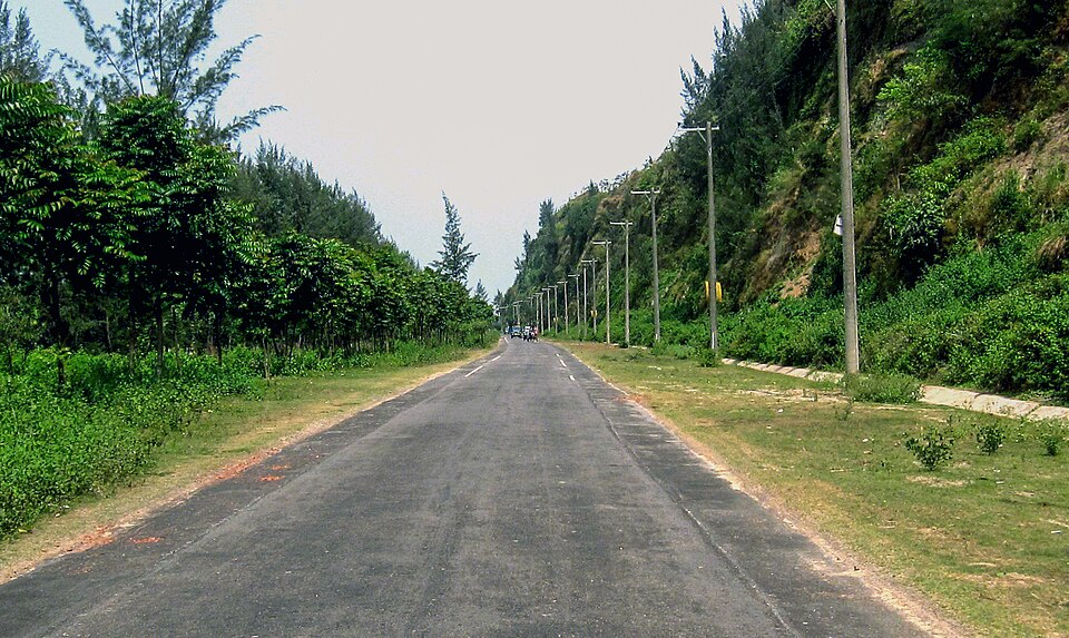
Cox's Bazar–Teknaf Marine Drive
Cox's Bazar
An 80 km road from Kolatoli to Teknaf with the sea on one side and the hills on the other the whole way: the longest marine drive in the world and the district's best day out.
Hatimatha (Elephant's Head)
Khagrachari
A hill at Perachhara on the edge of town shaped like an elephant's head, climbed by a long iron stair of about 300 steps that the villagers call the "sky stair": a two-hour walk for the view over the whole valley.
Gabkhan Bridge
Jhalokati
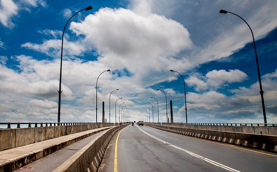
A high bridge over the Gabkhan channel, the 18 km canal dug in 1918 to shorten the river route to Mongla; a broad view of ships and river country from the top.
 Viewpoint and sunset spotBalaram Mahalder · CC BY-SA 4.0
Rupsha Bridge (Khan Jahan Ali Bridge)
Khulna
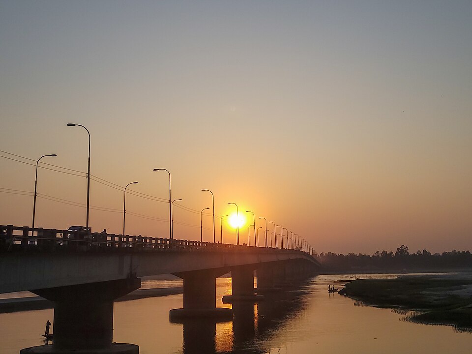
The road bridge over the Rupsha at the edge of Khulna, called the gateway of the city: stairs at both ends let people climb up for the river view at sunset.
Itna–Mithamoin–Austagram haor road
Kishoreganj
The all-weather road that runs across the haor between Itna, Mithamoin and Austagram, with water on both sides in the rains.
 Viewpoint and sunset spotNasif05 · CC BY 4.0
Dharla Bridge
Kurigram
The road bridge over the Dharla near Kurigram town, where people gather in the evening for the wide river, its sandbanks and the sunset.
 Viewpoint and sunset spotNasif05 · CC BY-SA 4.0
Tetulia Kanchenjunga View
Panchagarh
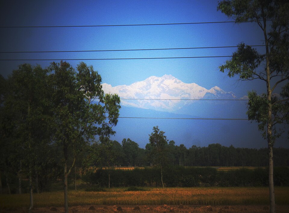
The bank of the Mahananda at Tetulia, the northernmost upazila, where on clear October and November mornings you can see the snows of Kanchenjunga.
 Viewpoint and sunset spotAzim Khan Ronnie · CC BY-SA 4.0
Padma Bridge
Shariatpur
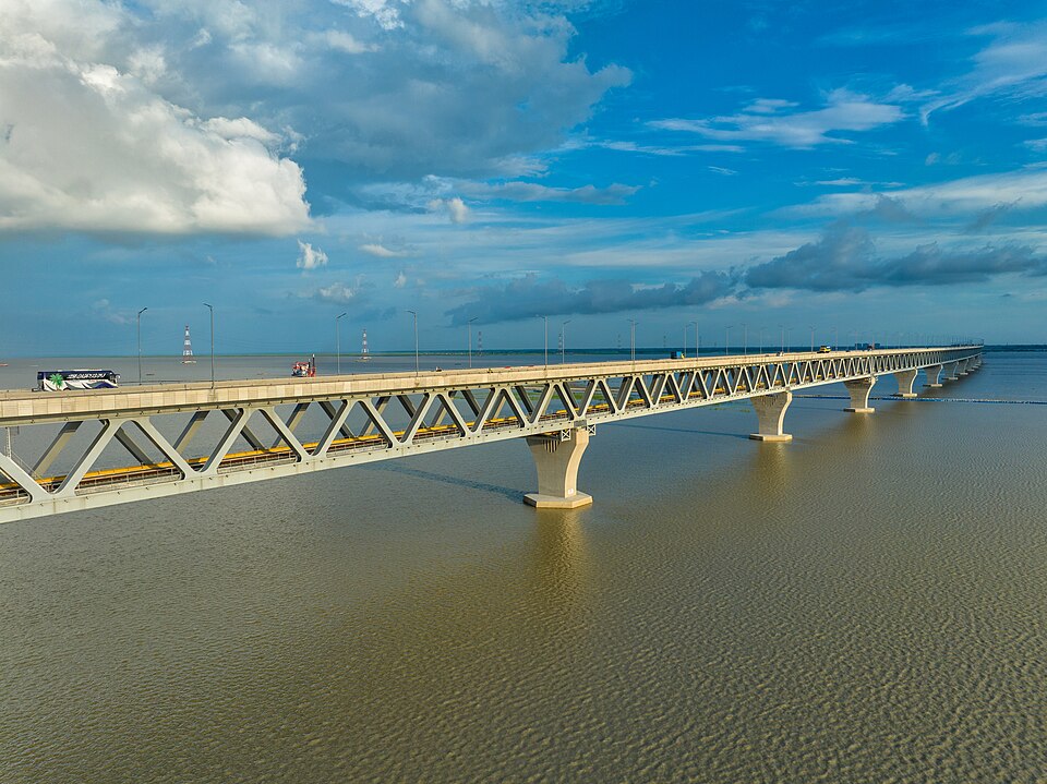
The country's longest bridge, 6.15 km of road over rail across the Padma, landing in Jajira; opened on 25 June 2022.
 Viewpoint and sunset spotলাজ মাহমুদ · CC BY-SA 4.0
Chimbuk Hill
Bandarban
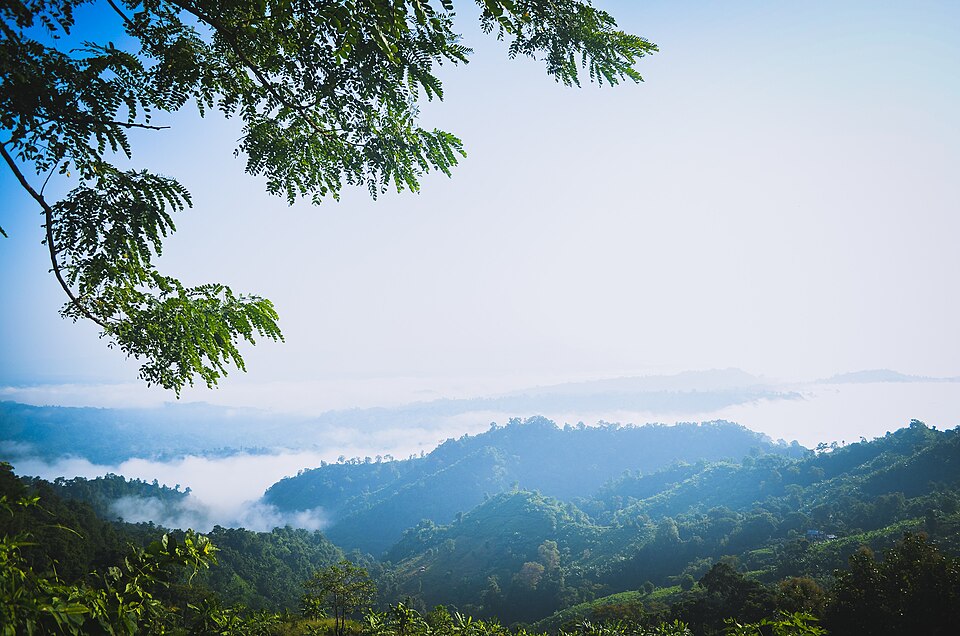
The 2,500-foot hill on the Thanchi road, 26 km from town, with a rest house and lookout on top and Mro villages on its slopes: the "Darjeeling of Bengal" to an older generation, and the halfway stop to Nilgiri.
 Viewpoint and sunset spotSourov0000 · CC BY-SA 3.0
Nilachal
Bandarban
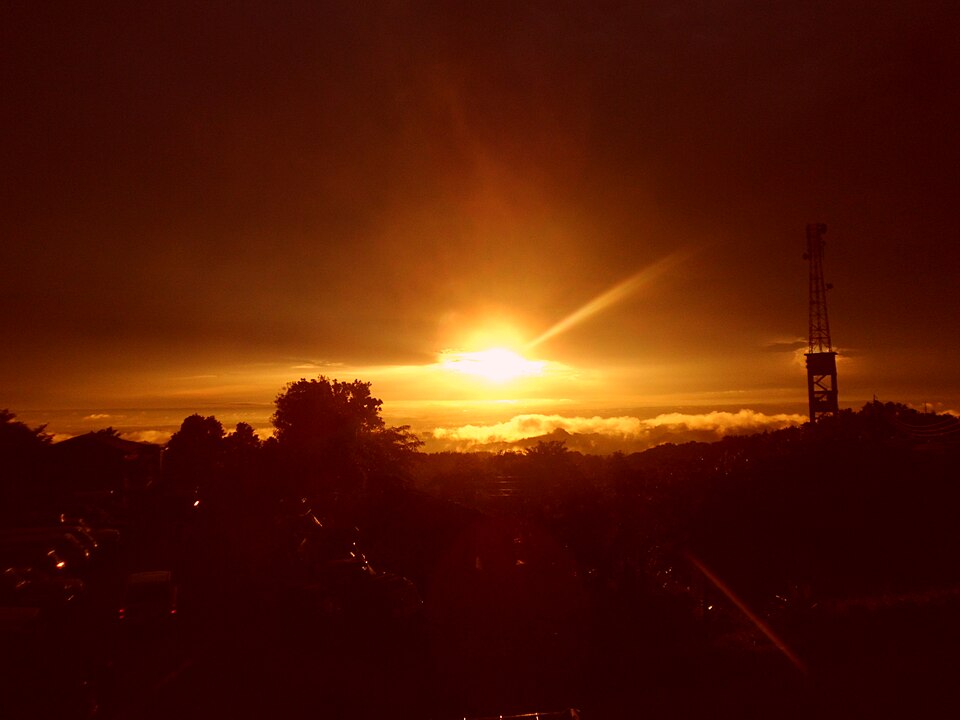
The viewpoint complex on the hill at Tigerpara, 6 km from town, run by the district: railed terraces over the town and the Sangu valley, a sunset the whole town drives up for, and the easiest hill in Bandarban.
 Viewpoint and sunset spotTanvir Rahat · CC BY-SA 4.0
Nilgiri
Bandarban
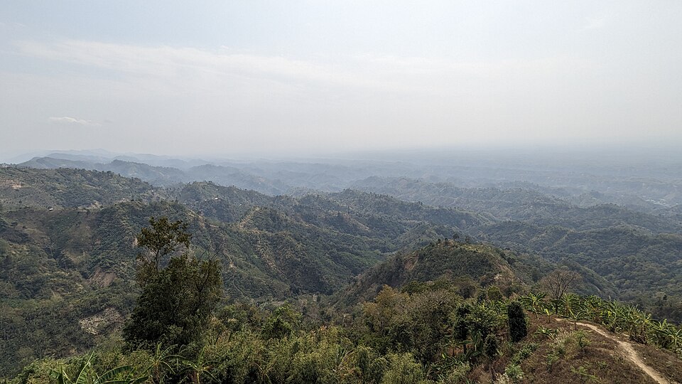
The army-run hilltop resort at about 2,200 feet, 47 km from town on the Thanchi road: cloud below the cottages in the cold months and the ranges of the Hill Tracts in every direction; the most visited viewpoint in the district.