Viewpoint and sunset spot, Khagrachari

Hatimatha (Elephant's Head)হাতিমাথা (হাতিমুড়া)

Time needed
Three to four hours.
best months
Nov–Feb
Cost
Free; guide about ৳300–500.

A hill at Perachhara on the edge of town shaped like an elephant's head, climbed by a long iron stair of about 300 steps that the villagers call the "sky stair": a two-hour walk for the view over the whole valley.

At a glance

Stair
About 300 iron steps, built 2015

About

The Tripura villages above Perachhara had to climb a cliff to reach their fields, so the district council built them an iron staircase up the elephant's head in 2015; walkers followed. The route starts near the Chengi bridge, follows a stream and jhum paths for an hour, then climbs the stair, which is steep and exposed, to the ridge, with the town, the river and the hills to the Indian border laid out below. Take a village guide; the path is easy to lose.

Getting there: CNG from town to Perachhara (10 minutes), then on foot.

Things to do

  • Climb for sunrise or late afternoon; midday is airless.

Good to know

  • The stair is exposed; not in rain or for anyone afraid of heights.
Getting there

Read the Khagrachari guide

Nearby

Park, eco park and picnic spotMoheen Reeyad · CC BY-SA 4.0

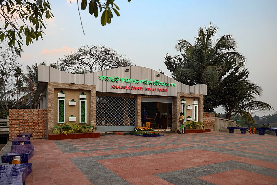
Khagrachari Horticulture Park

6 km, Khagrachari

The hill district council's park on a hillside at Jhulan, 3 km from town: a lake with a hanging bridge, orchards, viewpoints and a cafe; the easy evening outing in Khagrachari.

Hills and mountainsSrashed · Public domain

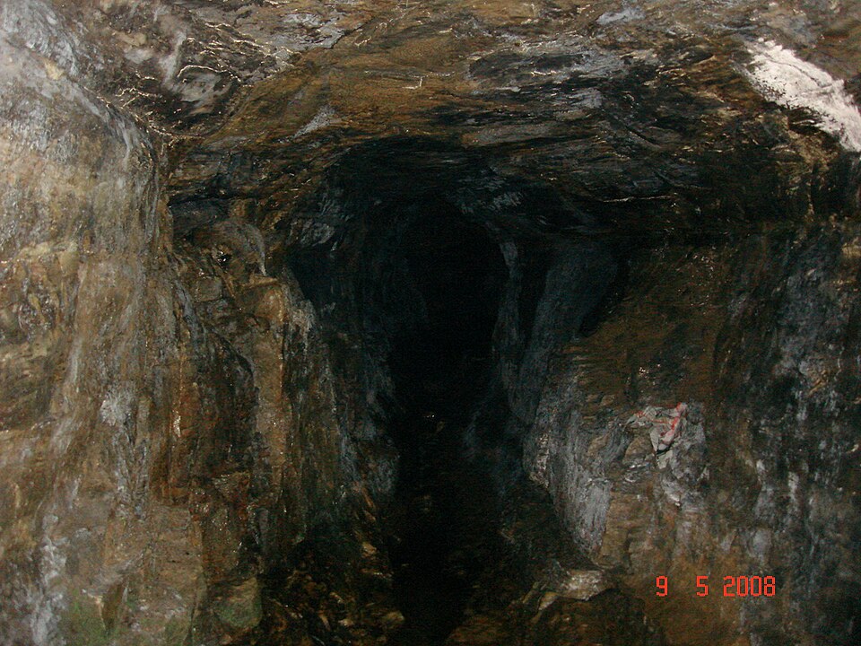
Alutila Cave

6 km, Khagrachari

A natural tunnel about 100 metres long through the Alutila hill at Matiranga, 8 km from town, walked in the dark with a torch, ankle-deep in a stream; the hilltop above has the district's best viewpoint.

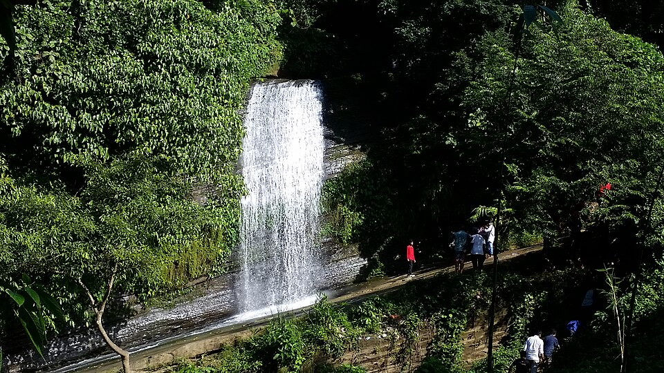
WaterfallANKAN GHOSH DASTIDER · CC BY-SA 4.0

Richhang Waterfall

8 km, Khagrachari

A 30-metre fall sliding down a smooth rock face in the hills below Alutila, 11 km from town: a steep stair down, a pool at the bottom and a natural rock slide that everyone tries.

River, lake and haor

Mayabini Lake

10 km, Khagrachari

A 15-acre lake among the hills at Bhaibonchhara in Panchhari, 18 km north of town, made by a village fishing cooperative and opened to visitors: bamboo cottages on the water, boats and the hills all round.

Waterfall

Toiduchhara Waterfall

13 km, Khagrachari

Two falls on a stream in the hills of Dighinala, reached by a two-hour trek through jhum fields and streambeds from Dighinala bazar: the big one drops in a wide fan over a rock wall; a full day for walkers.

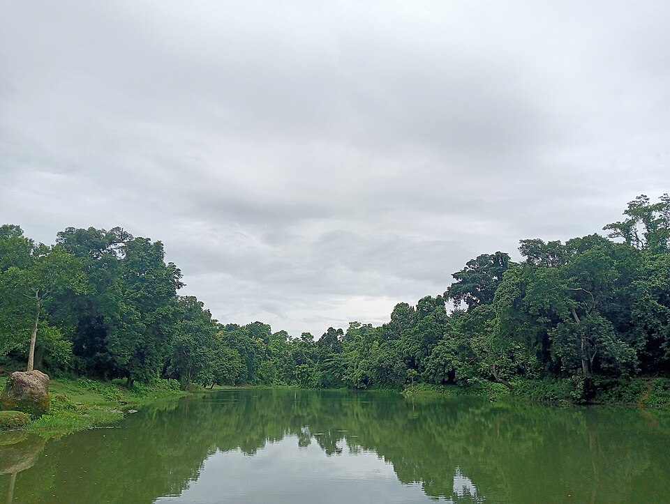
River, lake and haorMahjuja Islam · CC BY 4.0

Debota Pukur

14 km, Khagrachari

The "god's pond" on a hilltop at Nunchhari in Mahalchhari, a natural pool that never dries at about 300 metres, sacred to the Tripura people, reached by a two-kilometre climb from the road.

Location

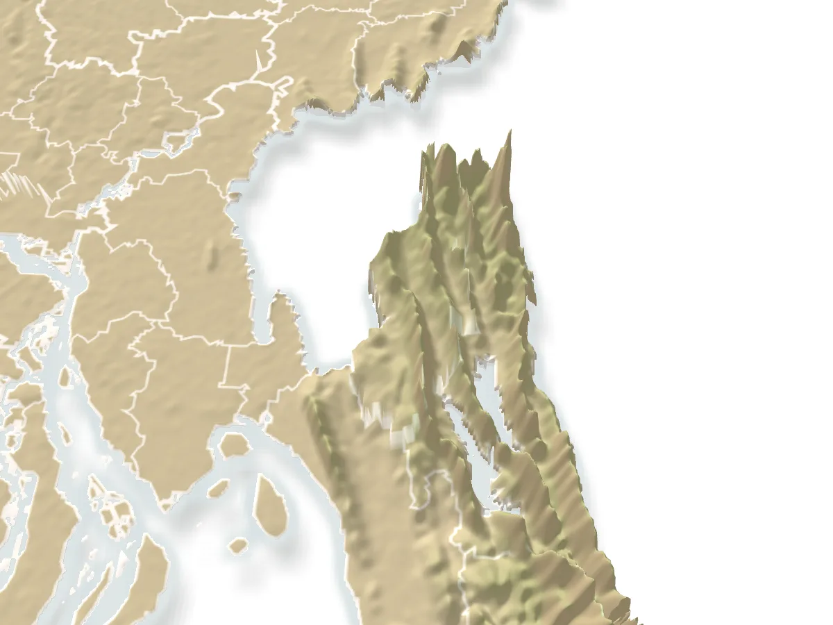
Hatimatha (Elephant's Head), Khagrachari

Suggest a correction

Times, fares and opening hours change. Check before you go.

Been here? Mark it in the app.

Your visited places and districts fill in your map, earn badges, and travel with you offline.