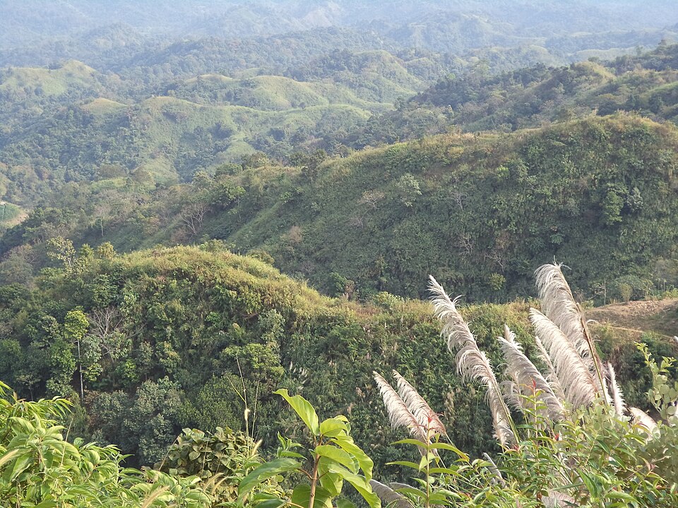
 Hills and mountainsSaptorsikundu18 · CC BY-SA 4.0
Chandranath Hill
Chattogram
The thousand-foot hill above Sitakunda with the Chandranath Shiva temple on its summit, a Shakti Peeth and the district's great pilgrimage; a steep stair and a forest path up, the sea and the hills from the top, and lakhs of pilgrims at Shiva Chaturdashi.
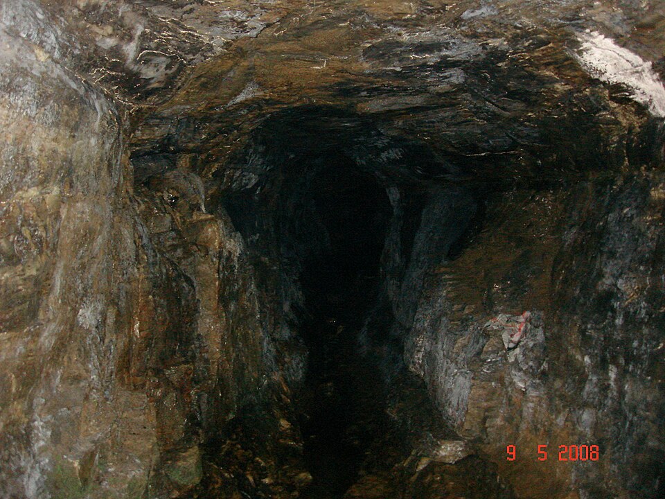 Hills and mountainsSrashed · Public domain
Alutila Cave
Khagrachari
A natural tunnel about 100 metres long through the Alutila hill at Matiranga, 8 km from town, walked in the dark with a torch, ankle-deep in a stream; the hilltop above has the district's best viewpoint.
Gabrakhali Garo Hills Tourist Centre
Mymensingh
167 green hillocks of the Garo hills on the Indian border in Haluaghat, with views across to Meghalaya, a lake and a Garo museum.
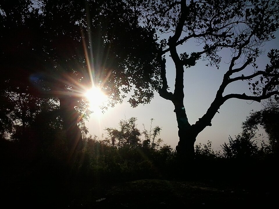 Hills and mountainsFerdous · CC BY-SA 4.0
Lalmai Hills
Cumilla
The red-earth ridge that runs 8 km south from Mainamati: low hills of Pleistocene clay with forest, Buddhist mounds along the top and the Chandi Mura temple at the southern end.
Lauchapra hills
Jamalpur
Jamalpur's corner of the Garo Hills at Bakshiganj: forested ridges on the Meghalaya border with a recreation centre of 1994, watchtowers that look into India, a small lake and Garo and Koch villages on the slopes.
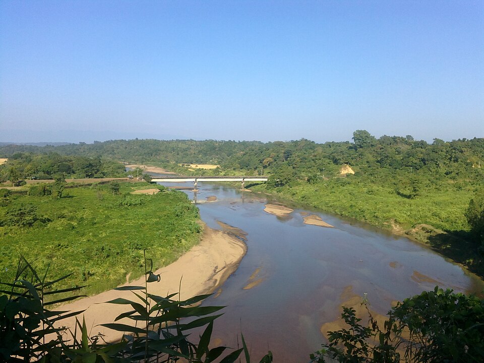 Hills and mountainsGeorge achik · CC BY-SA 4.0
Panihata-Tarani hills
Sherpur
Two border villages at the foot of Meghalaya's Tura hills, where the Bhogai river comes out of the mountains over a bed of pebbles; the clearest view of the hills in Sherpur, and the quietest.
Rajar Pahar and Babelakona
Sherpur
The highest hill on Sherpur's side of the Garo range, with a flat top of some hundred hectares above the Dheufa river, and the Garo, Hajong and Koch village of Babelakona at its foot.
 Hills and mountainsUzzal Mia · CC BY-SA 3.0
Barik Tila
Sunamganj
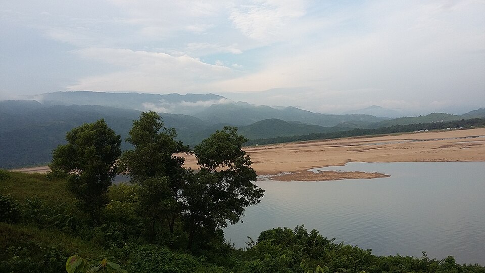
A green hillock on the border at Laurergarh, Tahirpur, looking down on the clear Jadukata river as it leaves the Meghalaya hills.
 Hills and mountainsSolayman .Emon · CC BY-SA 4.0
Sajek Valley
Rangamati
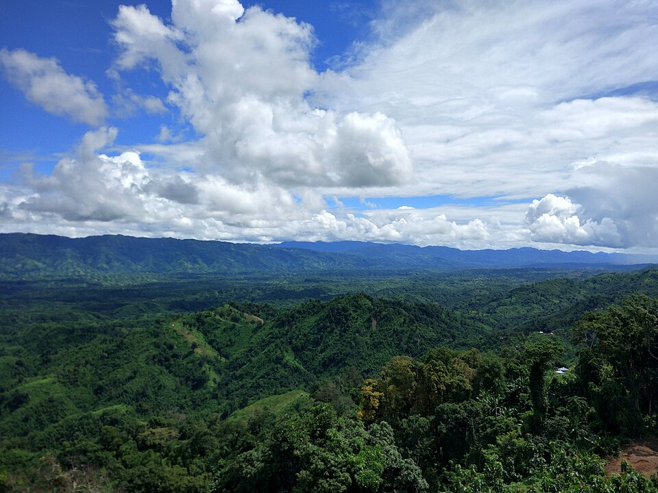
The ridge-top village of Ruilui at about 1,800 feet on the Mizoram border, the most visited hill spot in the country: cottages above a sea of cloud at dawn, Lusai and Tripura hamlets, Konglak hill at the end of the road; reached from Khagrachari by escorted jeep.
 Hills and mountainsকুপি বাতি · CC BY-SA 4.0
Bijoypur white clay hills
Netrokona
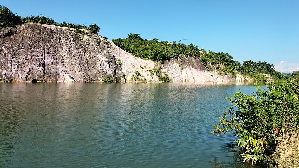
Low hills of white china clay on the border at Bijoypur, mined for the country's ceramics since the 1950s; the old cuttings hold pools of blue-green water under white and pink cliffs.
 Hills and mountainsRocky Masum
This work was made by Masum-al-Hasan Rocky and released under the license(s) stated below. Please feel free to use it for any purpose as long as you credit Masum-al-Hasan Rocky as author and follow the terms of the chosen license. If you use this work outside of the Wikimedia projects, I would very much like to get a note from you. Thanks! · CC BY-SA 4.0
Ali's Cave, Alikadam
Bandarban
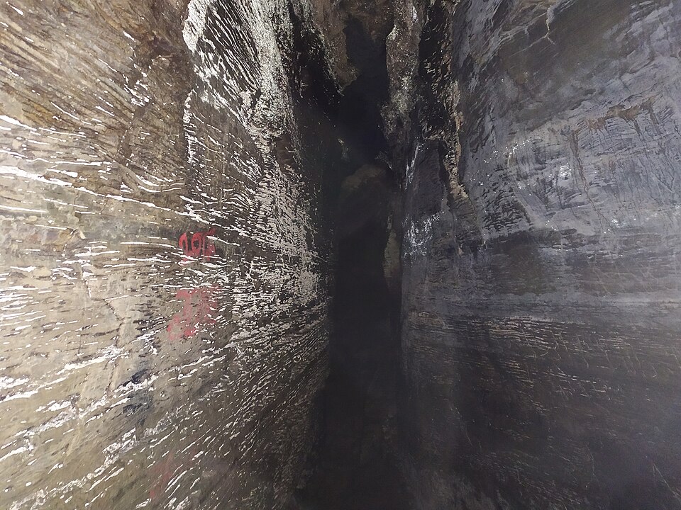
A set of natural caves in a hill above the Matamuhuri river at Alikadam, reached by a stream walk and bamboo ladders: narrow dark passages through the rock, a local legend of a saint named Ali, and the southern district's one well-known sight.
 Hills and mountainsFahimhasan · CC BY-SA 3.0
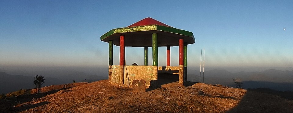
Keokradong
Bandarban
The 986-metre peak above Boga Lake, for decades called the highest in the country and still the classic trek: a day's climb through Bawm villages to a summit shelter with the Myanmar hills on the horizon.
 Hills and mountainsMorshed Rahman Zubaer · CC BY-SA 4.0
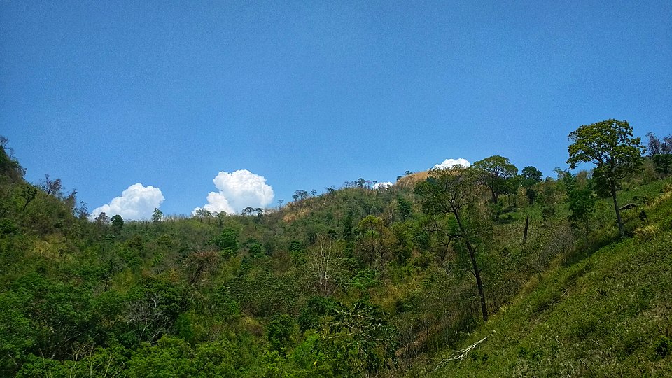
Tazing Dong (Bijoy)
Bandarban
The 830-metre peak in the Saichol range of Ruma, officially named Bijoy and long claimed as the country's highest: a two-day trek from Boga Lake or Keokradong through Bawm and Tripura villages, quieter than its neighbour.