Hills and mountains, Sherpur
Rajar Pahar and Babelakonaরাজার পাহাড় ও বাবেলাকোনা
- Time needed
- Two to three hours, plus the drive.
- best months
- Nov–Feb
The highest hill on Sherpur's side of the Garo range, with a flat top of some hundred hectares above the Dheufa river, and the Garo, Hajong and Koch village of Babelakona at its foot.
Plan your visit
- Best time
- November to February; the plateau is baking by midday in the hot months.
At a glance
- Where
- Singabaruna union, Sreebardi, on the Meghalaya border
- From Sherpur town
- About 33 km via Kornojhora Bazar
- At the foot
- Babelakona: Garo, Hajong and Koch village with a cultural academy
About
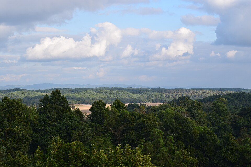
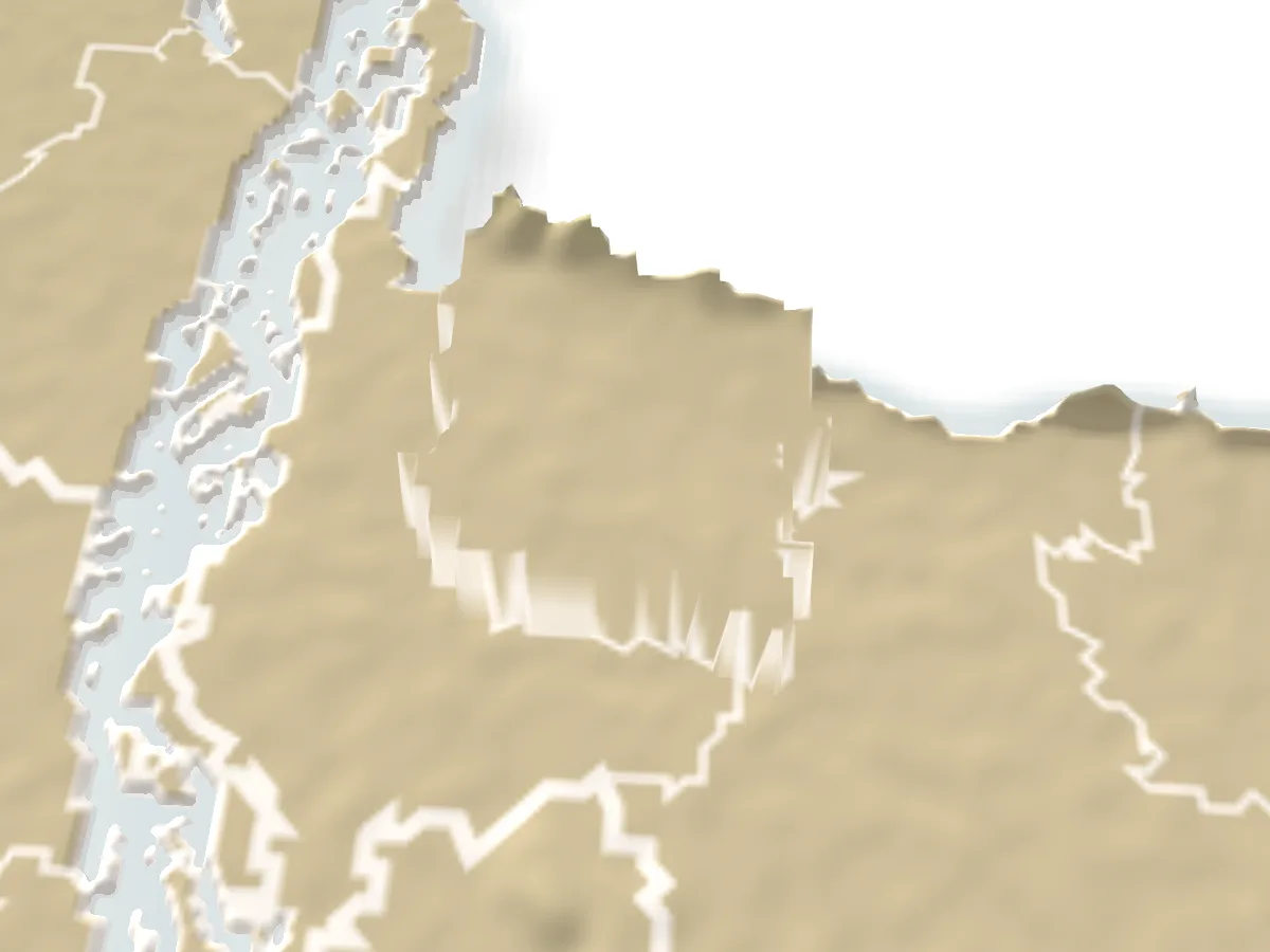
Rajar Pahar, the king's hill, stands in Singabaruna union at the far north of Sreebardi, about 14 km from Sreebardi town and 33 km from Sherpur by way of Kornojhora Bazar. Nobody is sure which king it is named for, only that the name is old. What makes it different from the other border hills is the top: a broad, almost level plateau of a hundred hectares or so, with the Dheufa river and its sandbanks below, the villages of Kornojhora, Malakocha, Dighlakona and Harikona spread out around it, and Meghalaya's hills rising just beyond the border pillars.
At the foot is Babelakona, a village of Garo, Hajong and Koch families with a church, a small temple, a cultural academy with a museum and library, and the houses and kitchen gardens of a hill village. Caritas, World Vision and a forest beat office are here too, and a rubber plantation covers the slopes behind the BGB camp.
This is a place for a walk rather than rides: up the track to the top, along the edge for the views, down to the river sand. The last kilometre from the border road is unpaved, two bridges now spare you the river crossing, and visitors are expected to head back while it is still light.
Getting there: From Sherpur town, a bus or CNG to Sreebardi and on to Kornojhora Bazar, then a CNG or motorcycle for the last stretch; the hill is about 14 km north of Sreebardi town.
Things to do
- Walk up to the plateau and along its edge for the view over the Dheufa and into Meghalaya.
- Visit the Babelakona cultural academy and its small museum.
- Go down to the sandbanks of the Dheufa.
Good to know
- Start early and leave before dusk; there is no lighting and no place to stay.
- The last stretch is unpaved and muddy after rain; a motorcycle or CNG handles it better than a car.
- Babelakona is a village, not a park: ask before photographing people or entering the church and homes.