Monument and memorial, Jamalpur

Kamalpur battlefield and memorialকামালপুর রণাঙ্গন ও স্মৃতিসৌধ

Time needed
Half an hour to an hour.

The border post at Dhanua Kamalpur, Bakshiganj, where Sector 11 fought the Pakistan army from July to December 1971, one of the longest battles of the war; a memorial, the graves and now a land port beside it.

At a glance

The battle
31 July to 4 December 1971, Sector 11
Surrender
4 December 1971, 220 soldiers under Captain Ahsan Malik
From Bakshiganj
About 11 km, on the Bakshiganj–Kamalpur–Roumari road

About

Kamalpur was a Pakistani border outpost on the road from Meghalaya into Jamalpur, and whoever held it held the way to Dhaka from the north. On 31 July 1971 the 1st East Bengal Regiment of Z Force attacked it and lost Captain Salahuddin Mumtaz and about thirty-five fighters; on 13 November Sector Commander Colonel Abu Taher led another assault and lost a leg to a mine. From late November the Mukti Bahini and the Indian army besieged the post for eleven days, and on 4 December Captain Ahsan Malik surrendered with 220 men, the surrender letter carried in by a teenage courier, Bashir Ahmed, later Bir Pratik. The fall of Kamalpur opened the road to Jamalpur and Dhaka.

Today a memorial marks the battlefield in Dhanua Kamalpur union, with the graves of the fallen nearby, and the Dhanua Kamalpur land port, opened in 2023 on the same border crossing, has brought trucks and traders to what was a quiet frontier. Bakshiganj town is 11 km away, Lauchapra hills close by on the same border.

Getting there: From Jamalpur town to Bakshiganj by bus or CNG, then a CNG along the Kamalpur road, about 11 km.

Things to do

  • Pay respects at the memorial and the graves of the fighters.
  • Combine it with Lauchapra on the same border.

Good to know

  • It is a working border and land port: carry your ID and do not photograph the BGB posts.
Getting there

Read the Jamalpur guide

Nearby

Hills and mountains

Lauchapra hills

6 km, Jamalpur

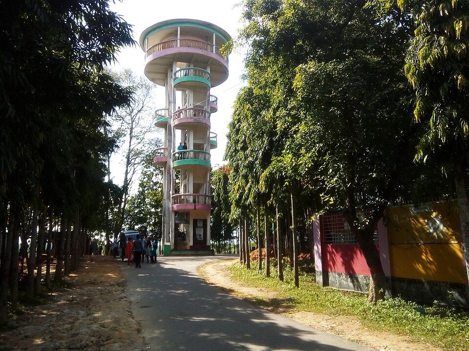
Jamalpur's corner of the Garo Hills at Bakshiganj: forested ridges on the Meghalaya border with a recreation centre of 1994, watchtowers that look into India, a small lake and Garo and Koch villages on the slopes.

Hills and mountains

Rajar Pahar and Babelakona

8 km, Sherpur

The highest hill on Sherpur's side of the Garo range, with a flat top of some hundred hectares above the Dheufa river, and the Garo, Hajong and Koch village of Babelakona at its foot.

River, lake and haor

Bahadurabad Ghat

18 km, Jamalpur

The Jamuna ghat at the end of the railway in Dewanganj, where from 1912 whole trains were ferried across the river to Tistamukh; the rail ferry is gone since the Jamuna Bridge, the river and the ghat remain.

Park, eco park and picnic spotমোঃ চঞ্চল মাহামুদ ভারুয়া · CC BY-SA 4.0

Gajni Obokash Kendra

19 km, Sherpur

Sherpur's main hill resort: about 90 acres of sal and gajari forest at the foot of the Garo Hills, with a dammed lake, a watchtower looking into Meghalaya, a cable car, a zipline and a small zoo.

Mosque and shrineBhoboghure · CC BY 4.0

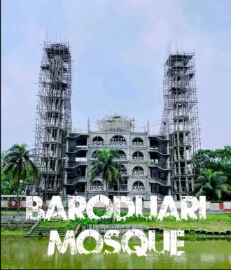
Barduari Mosque at Garjaripa

24 km, Sherpur

The twelve-doored mosque of Garjaripa in Sreebardi, on the site of the old fort of Garh Jaripa: by tradition built by Jarip Shah centuries ago, buried by an earthquake, dug out and rebuilt in 1963, and now a five-storey mosque beside the Bara Dighi.

River, lake and haorEmon Monzurul · CC BY-SA 4.0

Balasi Ghat

25 km, Gaibandha

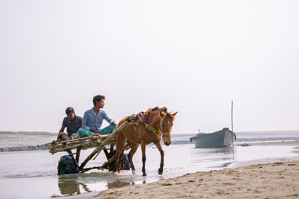
The Jamuna landing at Phulchhari, where ferries cross to Bahadurabad in Jamalpur and country boats go out to the chars: wide water, sandbanks and river life.

Location

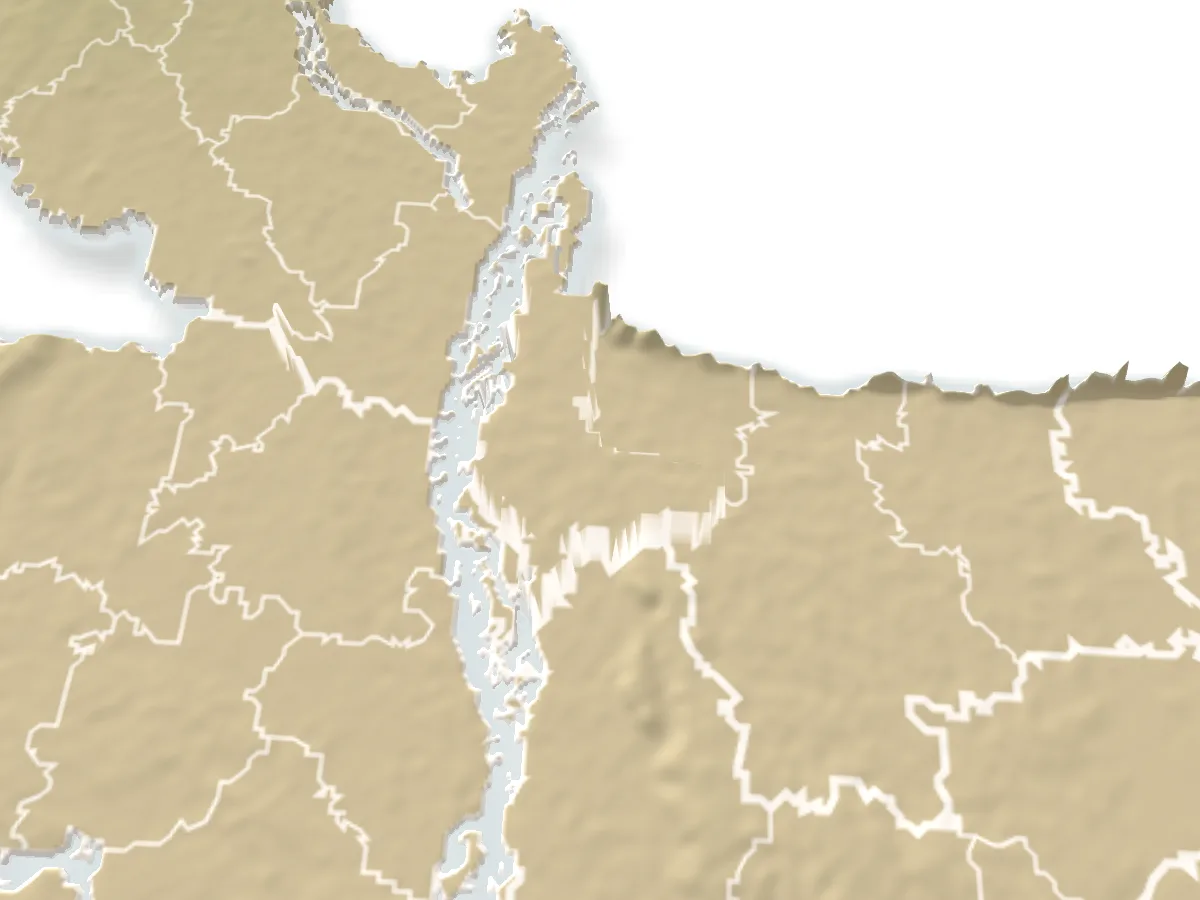
Kamalpur battlefield and memorial, Jamalpur

Suggest a correction

Times, fares and opening hours change. Check before you go.

Been here? Mark it in the app.

Your visited places and districts fill in your map, earn badges, and travel with you offline.