Known for
- 1
Where the Garo Hills begin.
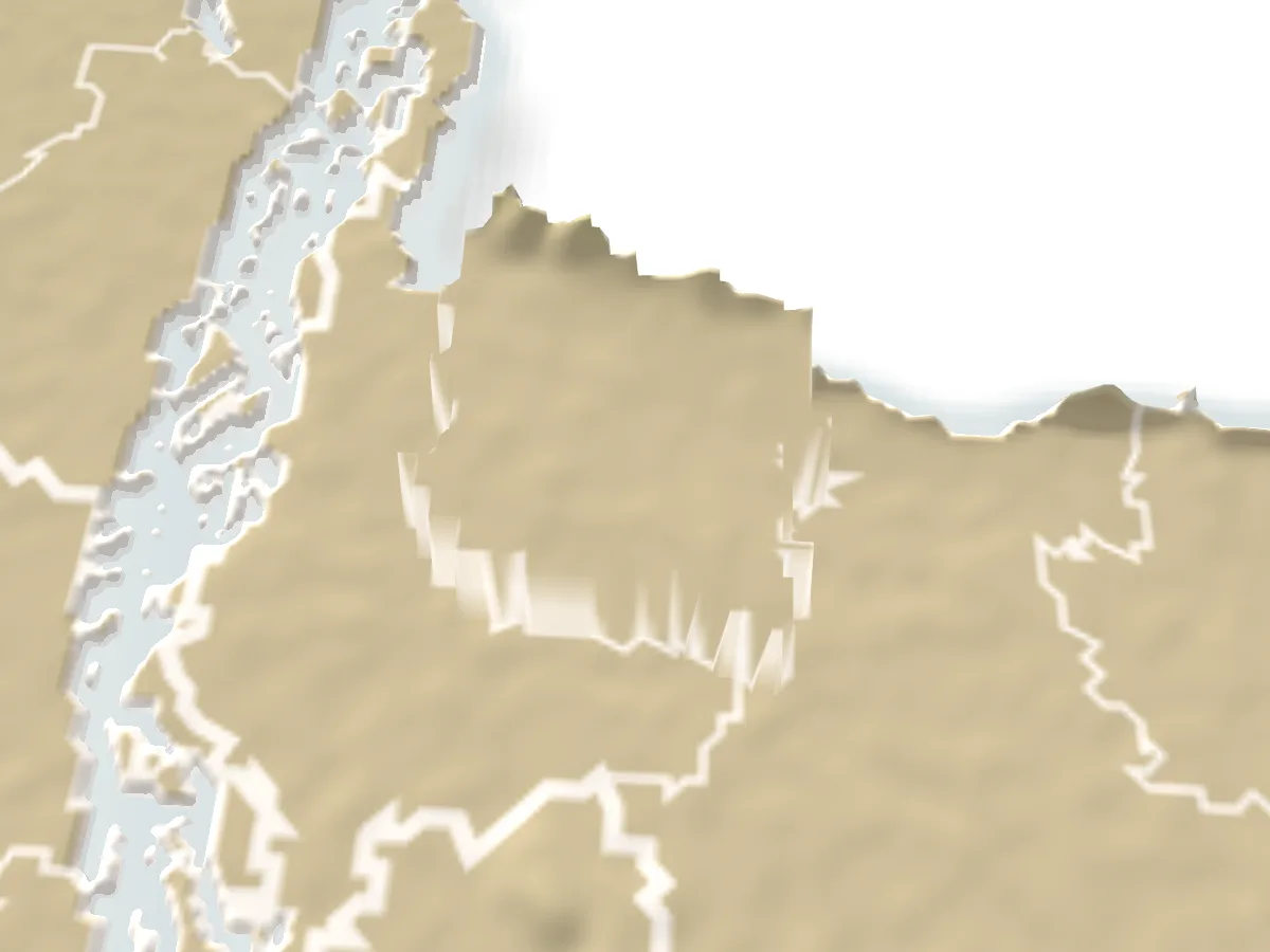
Sherpur's northern edge runs along Meghalaya, and the last few kilometres before the border turn into red-earth hills, sal and gajari forest and hill streams. Almost everything people come for sits in that strip: Gajni, Madhutila, Rajar Pahar, Panihata.
- 2
Named after the last Gazi.
Under the Mughals this was Dash Kahonia Baju, from the ten kahan of cowries charged to cross the Brahmaputra. The pargana was renamed after Sher Ali Gazi, the last zamindar of the Gazi line, and became a district in 1984.
- 3
Garo, Koch and Hajong villages.
Six small communities, among them the Garo, Koch, Hajong, Dalu and Banai, have lived in the hill border for centuries. Babelakona near Rajar Pahar and the villages around Gajni are where you meet their houses, churches and markets.
- 4
Old mosques in the villages.
The Ghagra Khan Bari mosque at Jhenaigati, the twelve-doored Barduari mosque at Garjaripa and the Maisaheba mosque in town are the district's best-known old buildings, each with a story the locals will tell you.
- 5
Bangladesh's biggest Marian pilgrimage.
Every year at the end of October tens of thousands of people walk to the shrine of Mary, Queen of Fatima, at Baromari on the border. The candlelit rosary procession on the first evening is open to everyone.
- 6
Chhanar payesh and Tulshimala rice.
Both carry a geographical indication: the century-old chhana pudding of Sherpur town, and the small aromatic rice the district has made its brand.
Best season
GoodFairNov–Feb
- Fatima Rani pilgrimage at Baromari Two days at the end of October, at the shrine on the Nalitabari border
- Urs at Sher Ali Gazi's mazar 1 Falgun (mid-February), with a village fair at Gazir Khamar
November to February is the time for the hills: cool, dry and clear, with mist over the Garo Hills in the early morning and the Meghalaya ridges sharp from the watchtowers. Gajni and Madhutila are busiest on winter holidays and picnic weekends.
The border strip is wettest from June to September. About 2,170 mm of rain falls in a year, most of it then. Hill streams and the Bhogai, Chellakhali and Malijhi rivers swell fast after rain in Meghalaya, and the last unpaved stretches to Rajar Pahar and Panihata turn to mud. Wild elephants come down from the hills more often in the wet months and at harvest, so listen to the villagers.
Late October has the Baromari pilgrimage and the first cool nights; October and March are fair, hot in the afternoon but green.
Getting there
Bus
From Dhaka
4½–5 hours
Mohakhali to Sherpur town via Mymensingh; a gate-lock service runs straight to Nalitabari.
Train
From Dhaka
To Jamalpur on the Dewanganj line, then by road; Sherpur has no station.
Getting around
Sherpur town to the hills
About an hour
Local bus or CNG from Shapla Chattar to Jhenaigati or Nalitabari; a reserved auto does Gajni and Madhutila in a day.
By bus from Dhaka is the usual way. Buses leave Mohakhali for Sherpur town through Mymensingh and take four and a half to five hours for about 200 km; the direct services stop less than the ordinary ones. There is also a gate-lock service from Mohakhali straight to Nalitabari, which saves a change if you are heading for Madhutila, Panihata or Baromari.
By train, go to Jamalpur on the Dhaka–Dewanganj line and continue by road; Sherpur has no railway of its own.
Inside the district, Sherpur town is the hub. Local buses, CNG auto-rickshaws and battery autos leave Khoarpar's Shapla Chattar for Jhenaigati, Nalitabari and Sreebardi; Gajni and Madhutila are each about 30 km out and are usually done together with a reserved auto or microbus for the day. From Nalitabari town, Nanni Bazar and Garkanda Chourasta are the turn-offs for Madhutila and for Nakugaon, Panihata and Baromari.
Local food
Chhanar payeshMust try
Sherpur town's own sweet, a geographical indication since 2024; sold by the kilo.
Tulshimala rice
The district's branded aromatic rice, for polao, payesh and pitha.
Chhanar payesh is what Sherpur is known for: small balls of fresh chhana simmered in thickened milk with a little cardamom, made in Sherpur town since British times and sold by the kilo in the sweet shops around the New Market area and in the upazila towns. It was recognised as a geographical indication in December 2024.
Tulshimala rice is the district's branded crop, a small, fragrant grain used for polao, payesh and pitha; you will see it in the markets and can carry a bag home.
For meals, the eating houses around New Market in Sherpur town and the hotels on the main road in Nalitabari do plain rice, fish and dal. Gajni and Madhutila have canteens and picnic cooking spots rather than restaurants, so many visitors bring their own food.
Places to see
Baromari shrine of Mary, Queen of Fatima
A Catholic parish on the Nalitabari border, founded in 1942 and made a Marian shrine in 1998, where tens of thousands gather for a two-day pilgrimage at the end of October.
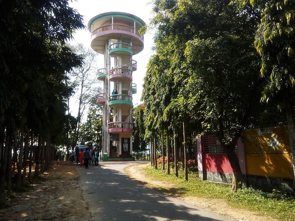 Park, eco park and picnic spotমোঃ চঞ্চল মাহামুদ ভারুয়া · CC BY-SA 4.0
Gajni Obokash Kendra
Sherpur's main hill resort: about 90 acres of sal and gajari forest at the foot of the Garo Hills, with a dammed lake, a watchtower looking into Meghalaya, a cable car, a zipline and a small zoo.
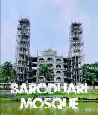 Mosque and shrineBhoboghure · CC BY 4.0
Barduari Mosque at Garjaripa
The twelve-doored mosque of Garjaripa in Sreebardi, on the site of the old fort of Garh Jaripa: by tradition built by Jarip Shah centuries ago, buried by an earthquake, dug out and rebuilt in 1963, and now a five-storey mosque beside the Bara Dighi.
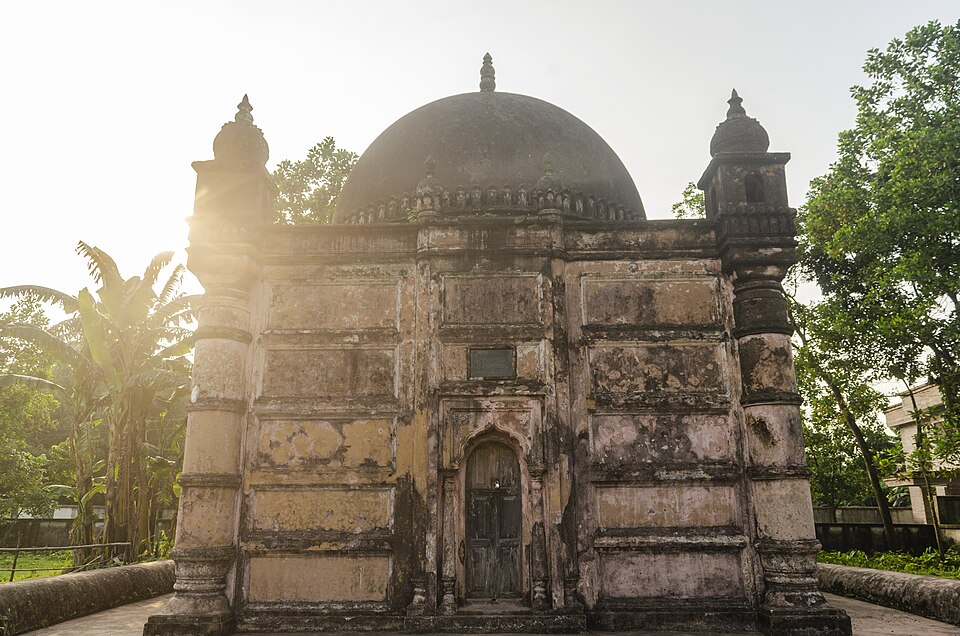 Mosque and shrineAyman Nakib Badhan · CC BY-SA 4.0
Ghagra Khan Bari Mosque
A small single-domed Mughal-era mosque in the village of Ghagra Laskar, Jhenaigati, protected by the Department of Archaeology since 1999; by local account two defeated generals built it in the forest some 600 years ago.
 Park, eco park and picnic spotShariful Islam Masum · CC BY-SA 4.0
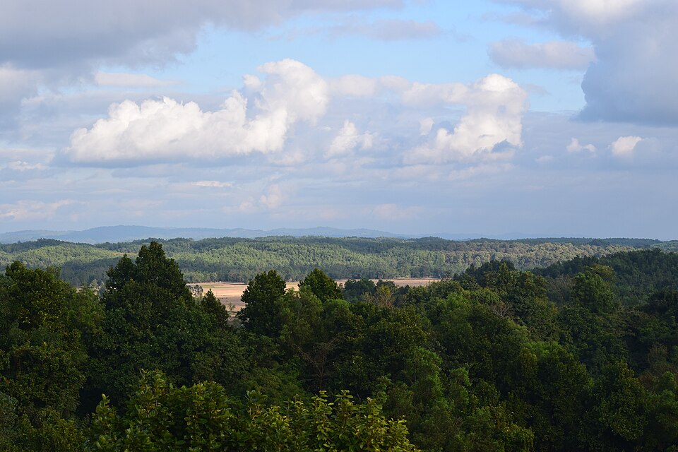
Madhutila Eco Park
A Forest Department eco-park on 383 acres of hill forest at Poragaon on the Nalitabari border: a watchtower over the canopy, a lake with boats, a star bridge, a mini zoo and quiet forest paths.
 Mosque and shrineSkmalamgir · CC BY-SA 4.0
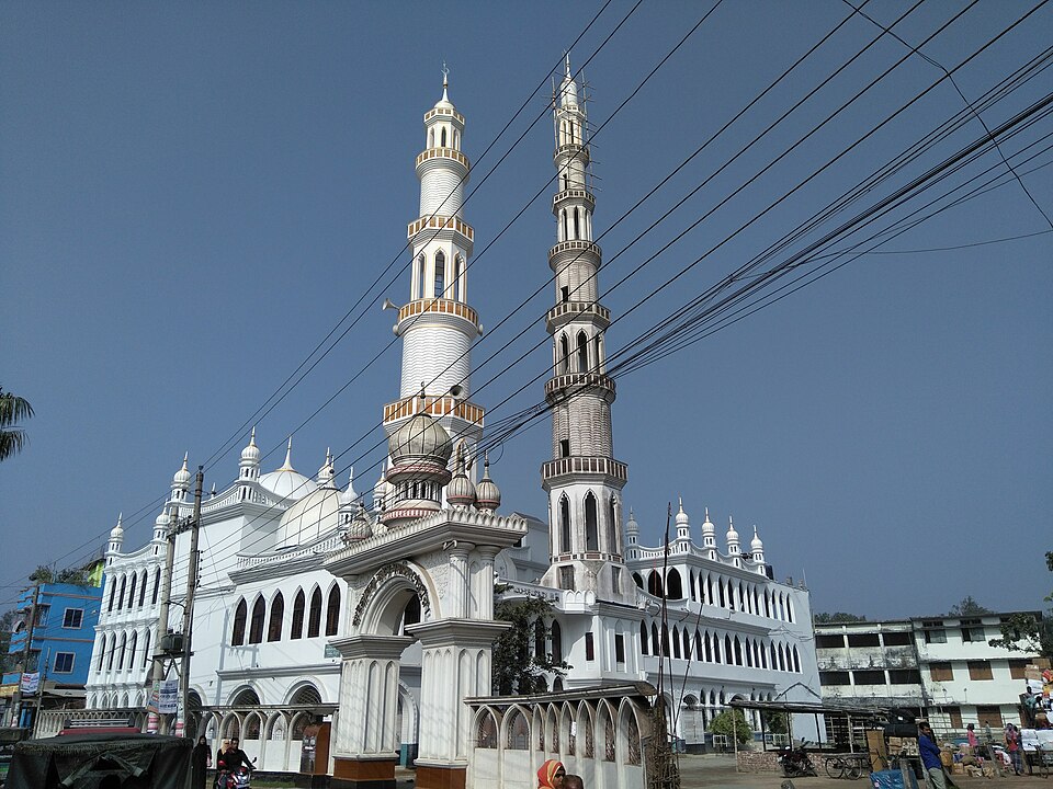
Maisaheba Jame Mosque
The biggest mosque in Sherpur, about 250 years old by tradition and rebuilt many times, with two tall minarets you see from across town and a story about an elephant that refused to move.
 Hills and mountainsGeorge achik · CC BY-SA 4.0
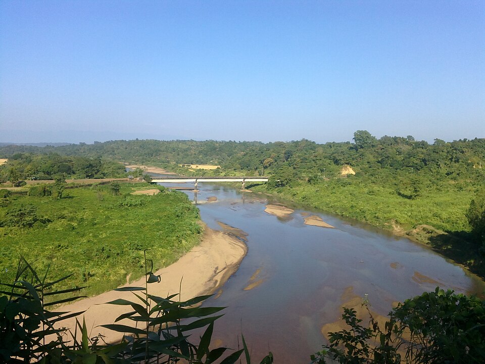
Panihata-Tarani hills
Two border villages at the foot of Meghalaya's Tura hills, where the Bhogai river comes out of the mountains over a bed of pebbles; the clearest view of the hills in Sherpur, and the quietest.
Rajar Pahar and Babelakona
The highest hill on Sherpur's side of the Garo range, with a flat top of some hundred hectares above the Dheufa river, and the Garo, Hajong and Koch village of Babelakona at its foot.
 Monument and memorialBhoboghure · CC BY 4.0
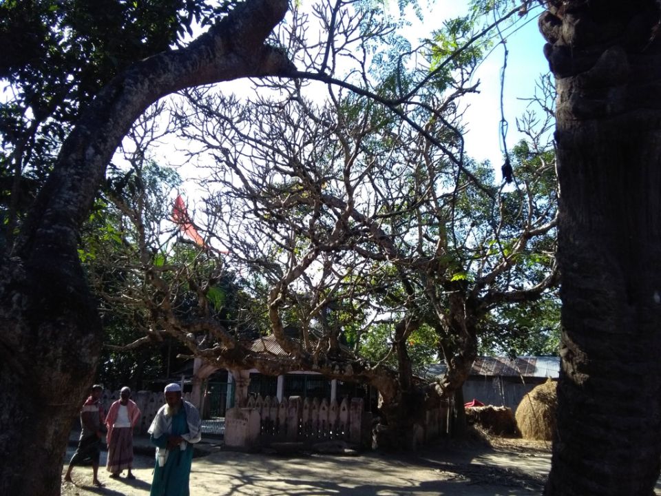
Mazar of Sher Ali Gazi
The grave of the last Gazi zamindar of the Sherpur pargana, the man the district is named after, at Gazir Khamar about 10 km from town; an urs with a village fair every 1 Falgun.
Sources 14
Times, fares and opening hours change. Check before you go.
Take this guide offline.
The same guide, every place and photo, on your phone without a connection. Mark the district when you get there.