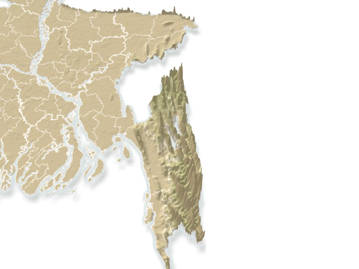
Hills and mountains, Rangamati

Sajek Valleyসাজেক ভ্যালি

Time needed
One or two nights.
best months
Oct–Feb
Cost
Jeep ৳8,000–12,000 return for the group; cottages ৳1,500–6,000.

The ridge-top village of Ruilui at about 1,800 feet on the Mizoram border, the most visited hill spot in the country: cottages above a sea of cloud at dawn, Lusai and Tripura hamlets, Konglak hill at the end of the road; reached from Khagrachari by escorted jeep.

Plan your visit

Best time
October to February for the cloud sea; dawn.

At a glance

Height
About 1,800 ft
Convoys
From Khagrachari, 10 am and 2:30 pm
Highest point
Konglak para

About

Sajek is in Baghaichhari upazila of Rangamati but has no road from Rangamati town: the jeeps (chander gari) go from Khagrachari, 70 km and about three hours, in army-escorted convoys at 10 am and 2:30 pm, through Dighinala and the Baghaihat checkpost. The road climbs the last stretch along a knife-edge ridge to Ruilui para, where several dozen resorts and cottages line the crest. Dawn is the point: cloud fills the valleys below and the sun comes up over Mizoram. Konglak para, a short walk up at the end, is the highest village and the best lookout; a helipad gives the sunset.

Water is carried up and electricity is solar; book in winter and on holidays weeks ahead. Everything is run by the villages and the army together.

Getting there: Khagrachari town → Shapla Chattar jeep stand → convoy via Dighinala and Baghaihat, about 3 hours.

Things to do

  • Be on the crest before sunrise for the cloud sea; walk to Konglak after breakfast.

Good to know

  • Use water sparingly and take your plastic back down; the villages carry everything up.
  • Carry ID for the checkposts; the convoy will not wait.
Getting there

Read the Rangamati guide

Nearby

WaterfallMuntasir du · Public domain

Shuvolong Waterfall

52 km, Rangamati

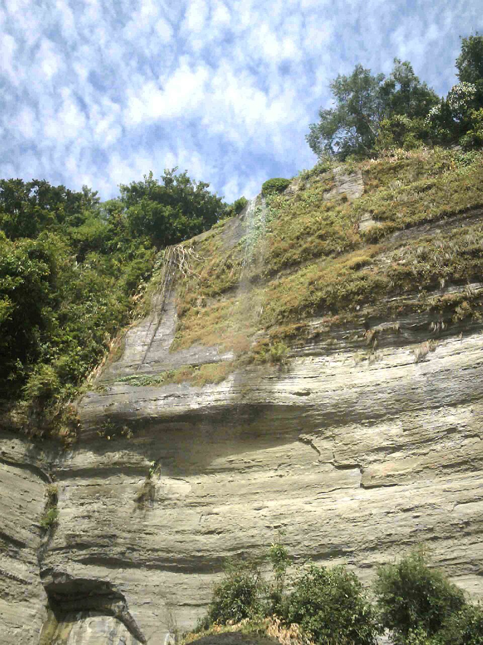
A 300-foot fall straight into Kaptai Lake at Barkal, reached only by boat through the Shuvolong gorge, where the hills close in on the water: the climax of the lake day, loudest in September and October.

Waterfall

Toiduchhara Waterfall

66 km, Khagrachari

Two falls on a stream in the hills of Dighinala, reached by a two-hour trek through jhum fields and streambeds from Dighinala bazar: the big one drops in a wide fan over a rock wall; a full day for walkers.

Buddhist vihara and pagodaAumit22 · CC BY-SA 4.0

Shantipur Aranya Kutir, Panchhari

74 km, Khagrachari

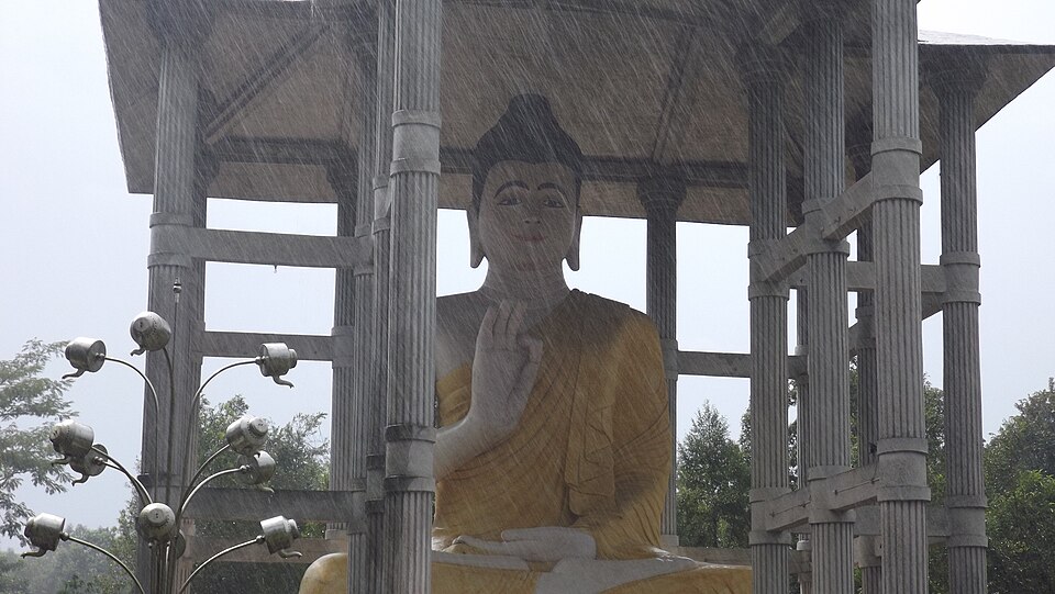
A forest monastery at Panchhari in the north of the district, with the tallest Buddha statue in the country (about 50 feet) on a wooded hill: a place of meditation, quiet and much visited on Buddhist holy days.

River, lake and haor

Mayabini Lake

75 km, Khagrachari

A 15-acre lake among the hills at Bhaibonchhara in Panchhari, 18 km north of town, made by a village fishing cooperative and opened to visitors: bamboo cottages on the water, boats and the hills all round.

Viewpoint and sunset spot

Hatimatha (Elephant's Head)

79 km, Khagrachari

A hill at Perachhara on the edge of town shaped like an elephant's head, climbed by a long iron stair of about 300 steps that the villagers call the "sky stair": a two-hour walk for the view over the whole valley.

Park, eco park and picnic spotMoheen Reeyad · CC BY-SA 4.0

Khagrachari Horticulture Park

80 km, Khagrachari

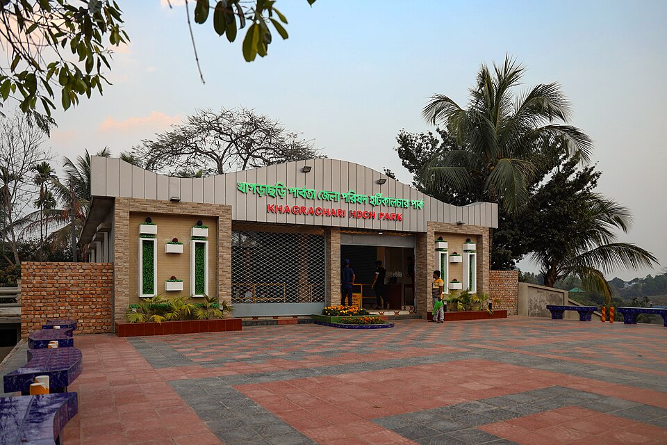
The hill district council's park on a hillside at Jhulan, 3 km from town: a lake with a hanging bridge, orchards, viewpoints and a cafe; the easy evening outing in Khagrachari.

Location

Sajek Valley, Rangamati

Suggest a correction

Times, fares and opening hours change. Check before you go.

Been here? Mark it in the app.

Your visited places and districts fill in your map, earn badges, and travel with you offline.