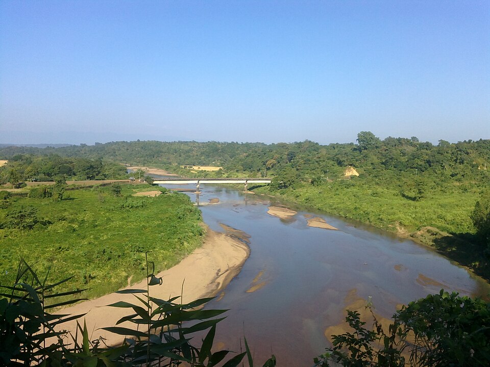
Hills and mountains, Mymensingh

Gabrakhali Garo Hills Tourist Centreগাবরাখালী গারো পাহাড় পর্যটন কেন্দ্র

Time needed
Half a day.

167 green hillocks of the Garo hills on the Indian border in Haluaghat, with views across to Meghalaya, a lake and a Garo museum.

At a glance

Opened
Begun 2019, built up from mid-2020
Area
125 acres
Hillocks
167, about 70–200 ft high

About

Along the Indian border in Haluaghat, the Garo hills reach into Mymensingh as a run of low green hillocks. In 2019 the district administration, under deputy commissioner Mizanur Rahman, began turning 125 acres of government land at Gabrakhali into a tourist centre; the work picked up in mid-2020 and has grown since under a master plan. There are 167 hillocks here, from about 70 to 200 feet high, with steel stairs up the bigger ones and named tops such as Chitakhla, Jashur, Mitali and Batasi.

From the tops you look across the border to the hills of Meghalaya. Below are a large lake with paddle boats, water falling from the hills near the entrance, a Garo museum, a picnic spot, a children's park, wooden bridges and a rest house, and the agriculture office has planted cashew, agar, tea and coffee on the slopes. Hajong and Banai families once lived in Gabrakhali, and the Garo hills run on east into Dhobaura upazila.

It is still rough at the edges: there is no mobile network inside, no clean drinking water, little good food and nowhere proper to stay, and the approach road is poor.

Getting there: Bus from the Shambhuganj bridge in Mymensingh to Haluaghat, then bus or CNG via Gobrakura to the Border Road; about 14 km north-east of the Haluaghat bus stand.

Things to do

  • Climb a hilltop for the view into Meghalaya.
  • Take a paddle boat on the lake.
  • See the Garo museum.

Good to know

  • Carry drinking water and food; there is little of either inside.
  • There is no mobile signal inside the centre.
Getting there

Read the Mymensingh guide

Nearby

Church

Ranikhong mission

20 km, Netrokona

St Joseph's Catholic parish on the Ranikhong hill above the Someshwari, where the river enters Bangladesh: the first Garo mission of the region, on this hill since 1915, with the river and the hills below the church.

Hills and mountainsGeorge achik · CC BY-SA 4.0

Panihata-Tarani hills

22 km, Sherpur

Two border villages at the foot of Meghalaya's Tura hills, where the Bhogai river comes out of the mountains over a bed of pebbles; the clearest view of the hills in Sherpur, and the quietest.

Museum and galleryBhoboghure · CC BY 4.0

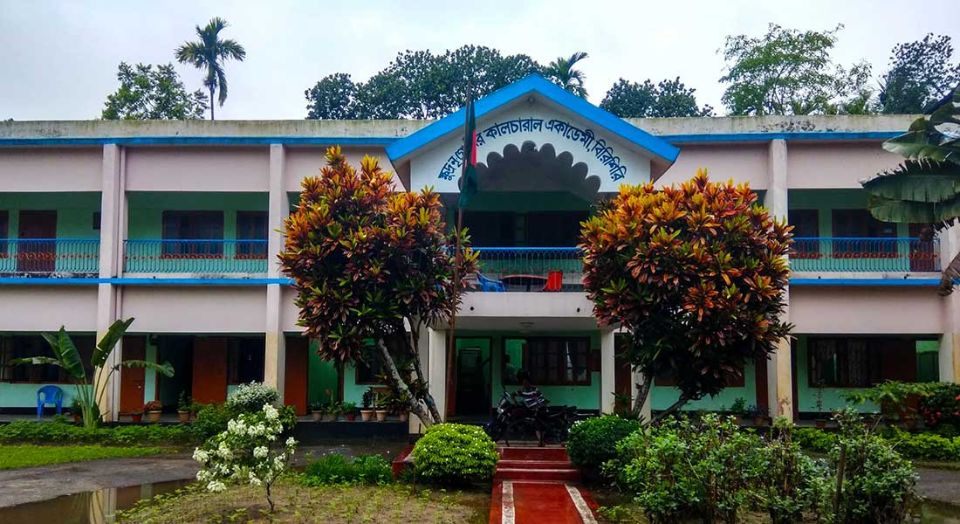
Tribal Cultural Academy, Birishiri

22 km, Netrokona

A government academy founded in 1977 to keep the languages, dress, songs and dances of the Garo, Hajong, Koch, Banai, Dalu and Mandi communities of greater Mymensingh; a small museum, a library and a stage for their festivals.

Village and communityEsha795 · CC BY-SA 3.0

Birishiri

22 km, Netrokona

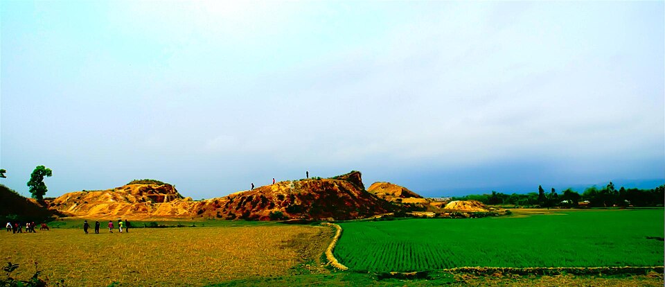
The village across the Someshwari from Durgapur bazar that gives the whole area its name among travellers: Garo and Hajong homes, mission schools from the British years, the cultural academy, and the base for the river, the white clay hills and Ranikhong.

Hills and mountainsকুপি বাতি · CC BY-SA 4.0

Bijoypur white clay hills

22 km, Netrokona

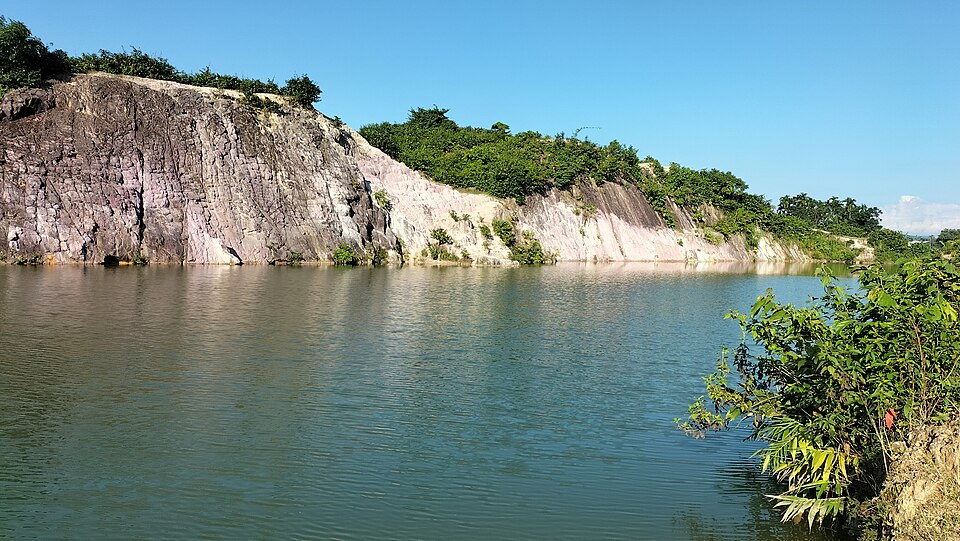
Low hills of white china clay on the border at Bijoypur, mined for the country's ceramics since the 1950s; the old cuttings hold pools of blue-green water under white and pink cliffs.

Fort and palaceSalim Khandoker · CC BY-SA 4.0

Susang Durgapur Rajbari

22 km, Netrokona

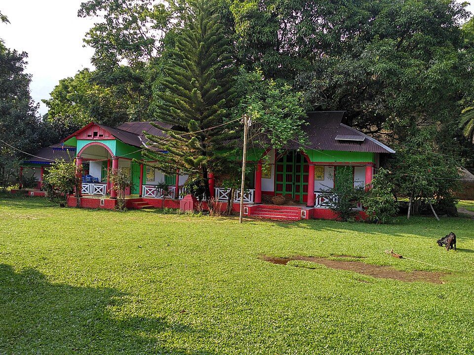
The seat of the Susang rajas, descendants of Someshwar Pathak who ruled this corner from 1280 until the end of the zamindari; rebuilt after the 1897 earthquake, now four decaying houses, one of them the magistrate's residence.

Location

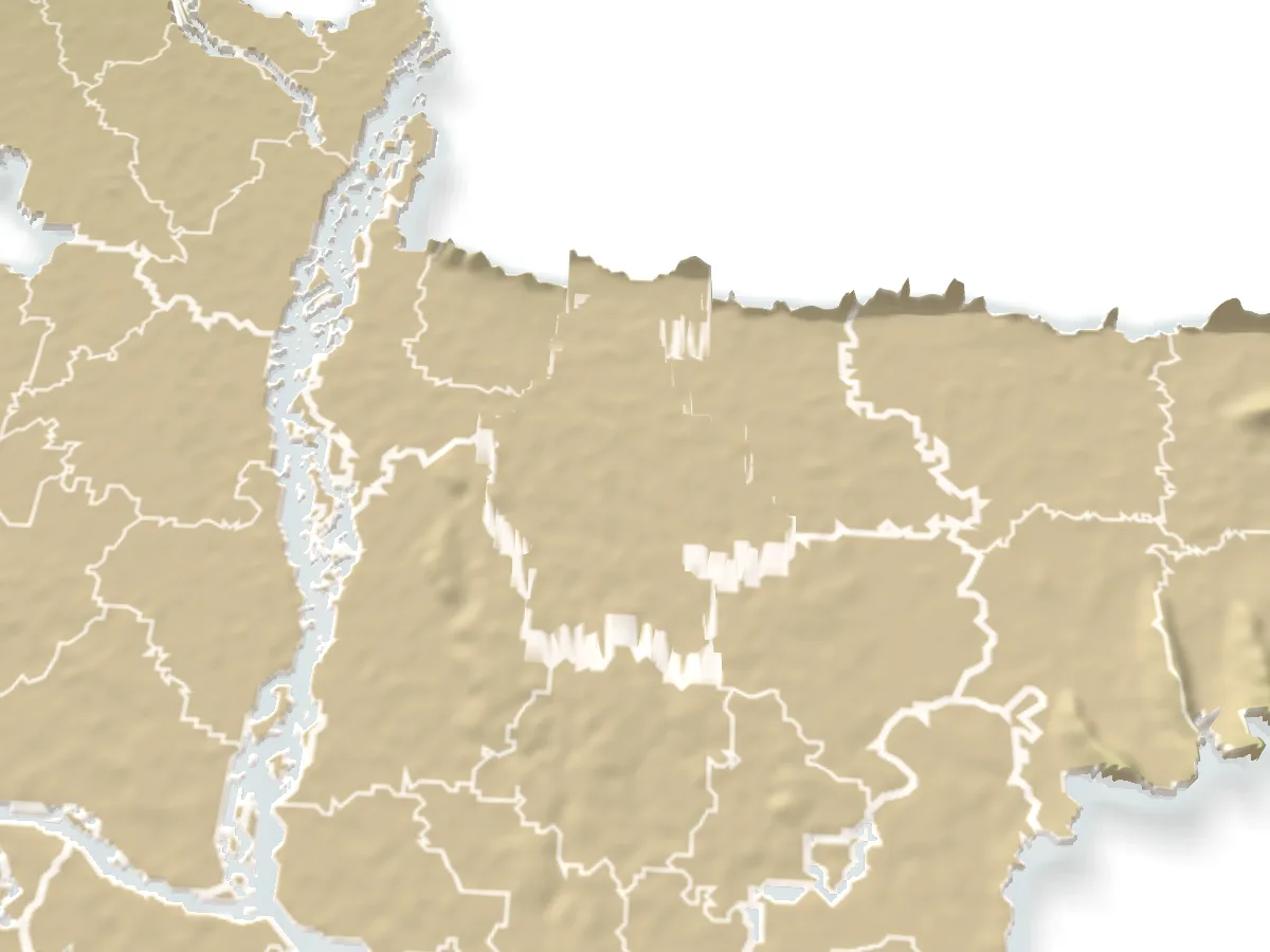
Gabrakhali Garo Hills Tourist Centre, Mymensingh

Suggest a correction

Times, fares and opening hours change. Check before you go.

Been here? Mark it in the app.

Your visited places and districts fill in your map, earn badges, and travel with you offline.