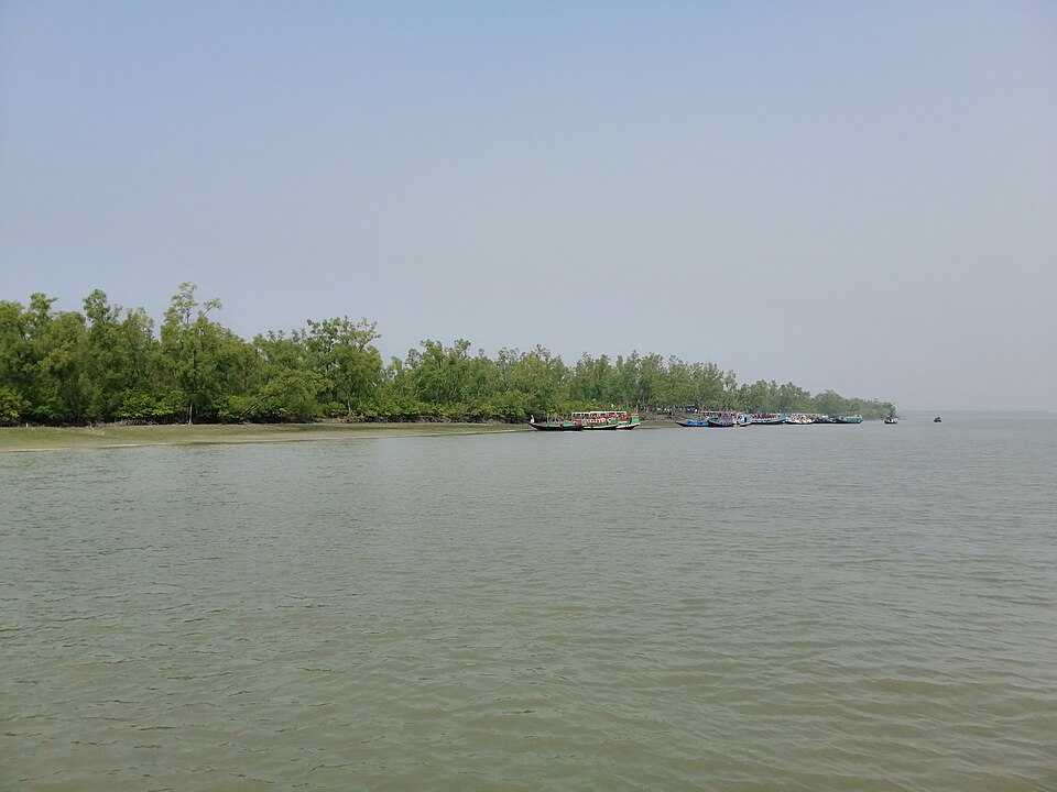
 Forest and mangroveMd.A.Masud · CC BY-SA 4.0
Kalagachhia Eco-tourism Centre
Satkhira
A forest station in the western Sundarbans, a short boat ride from Munshiganj, with a raised walkway through the mangroves: the easiest day trip into the forest.
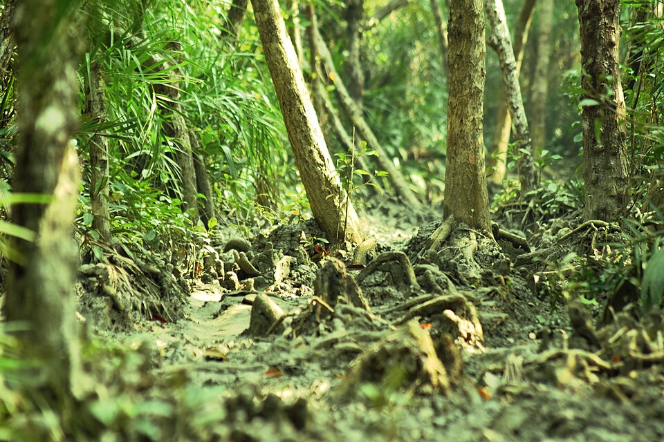 Forest and mangroveSaiful121157 · CC BY-SA 4.0
Fatrar Char Forest
Patuakhali
A mangrove forest across the river mouth west of Kuakata, reached by boat: keora and gewa trees, creeks and birds, often called a small Sundarbans.
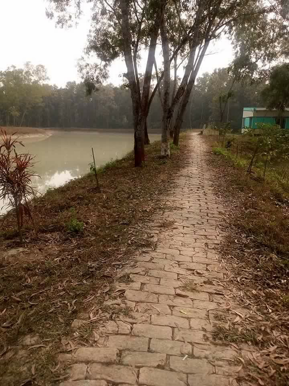 Forest and mangroveMahfuzulangkon17 · CC BY-SA 4.0
Kadigarh National Park
Mymensingh
A small national park of 344 hectares of sal forest in Bhaluka, declared in 2010; quiet and little visited.
Santoshpur Rubber Garden
Mymensingh
A state rubber plantation in Fulbaria's forest country, with a rubber-processing plant inside and monkeys in the trees.
Lakshmi Baor Swamp Forest
Habiganj
A freshwater swamp forest in the middle of the haor at Baniachong, locally called the Kharti jungle, larger than Ratargul.
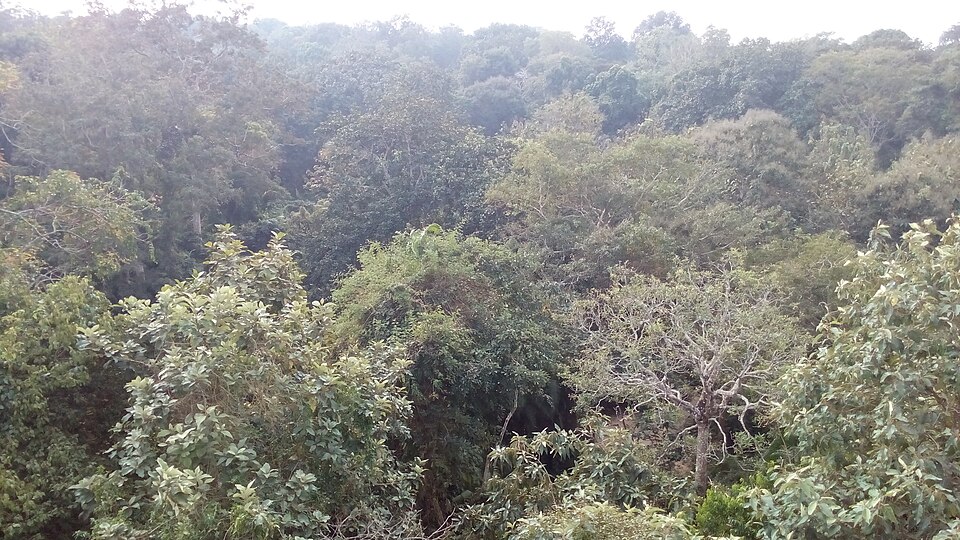 Forest and mangroveeee.mostafizur · CC BY-SA 4.0
Satchari National Park
Habiganj
A small hill forest of 243 hectares on the Dhaka–Sylhet highway, named for the seven streams that run through it: the easiest place in the country to hear gibbons.
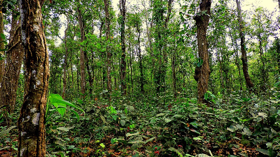 Forest and mangrovePearlya · CC BY-SA 4.0
Singra National Park
Dinajpur
A patch of sal forest near Birganj, about 300 hectares protected as a national park: quiet trails under tall straight trees.
 Forest and mangroveকুমার দীপ · CC BY-SA 4.0
Sundarbans from Khulna
Khulna
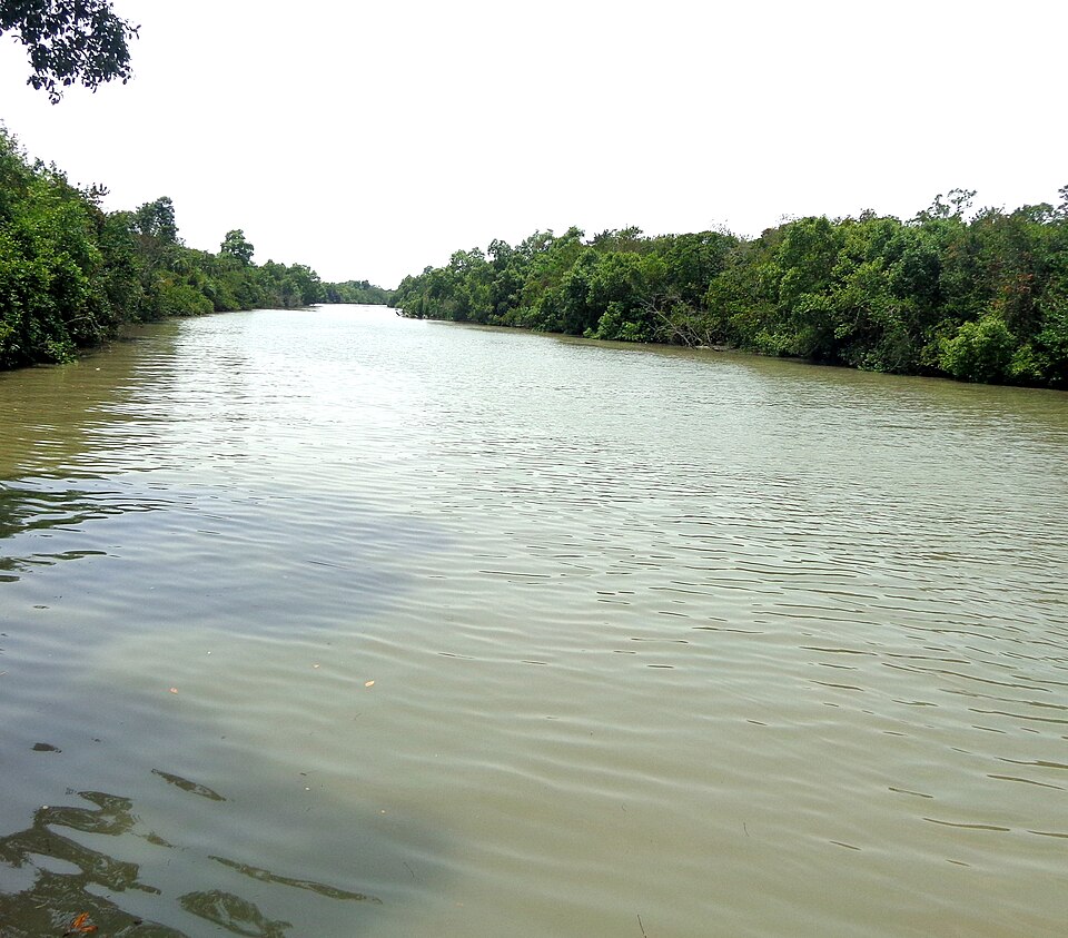
The world's largest mangrove forest begins south of the district, in Koyra and Dacope: boat trips from Khulna city reach spots such as Kalabogi and Hiron Point (Nilkamal).
 Forest and mangroveSumon Mallick · CC BY-SA 4.0
Ratargul Swamp Forest
Sylhet
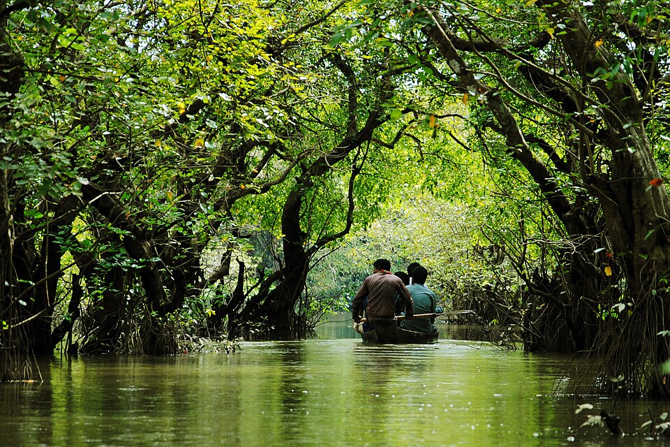
A freshwater swamp forest in Gowainghat where the trees stand in water through the rains: you glide between the trunks in a small wooden boat.
 Forest and mangroveSalim Khandoker · CC BY-SA 4.0
Bhawal National Park
Gazipur
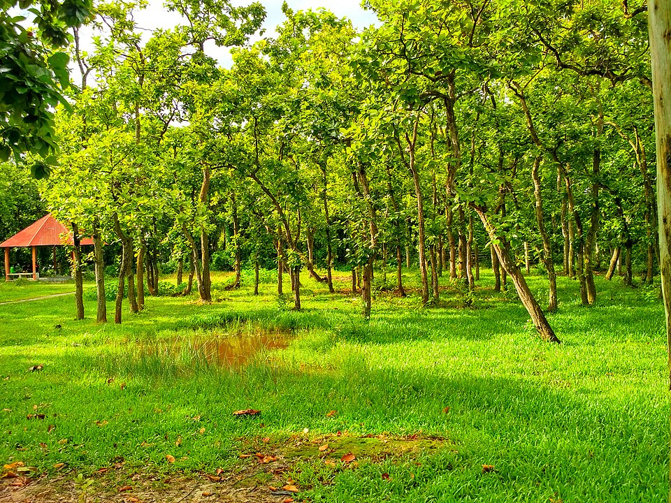
About 5,000 hectares of sal forest some 40 km north of Dhaka, protected since the 1970s: the easiest real woodland to reach from the capital, with picnic spots, lakes and quiet trails.
 Forest and mangroveSiraj Akram Kayes · CC BY-SA 4.0
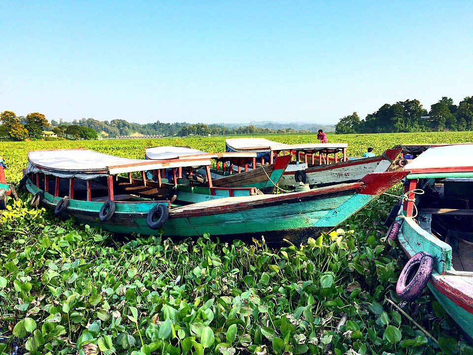
Kaptai National Park
Rangamati
About 5,500 hectares of old mixed evergreen forest on the hills above the Karnaphuli at Kaptai, a national park since 1999: elephants, gibbons, hornbills, teak planted by the British in 1873, and trails from the Kaptai road.
 Forest and mangrovemohammad fahim · CC BY-SA 4.0
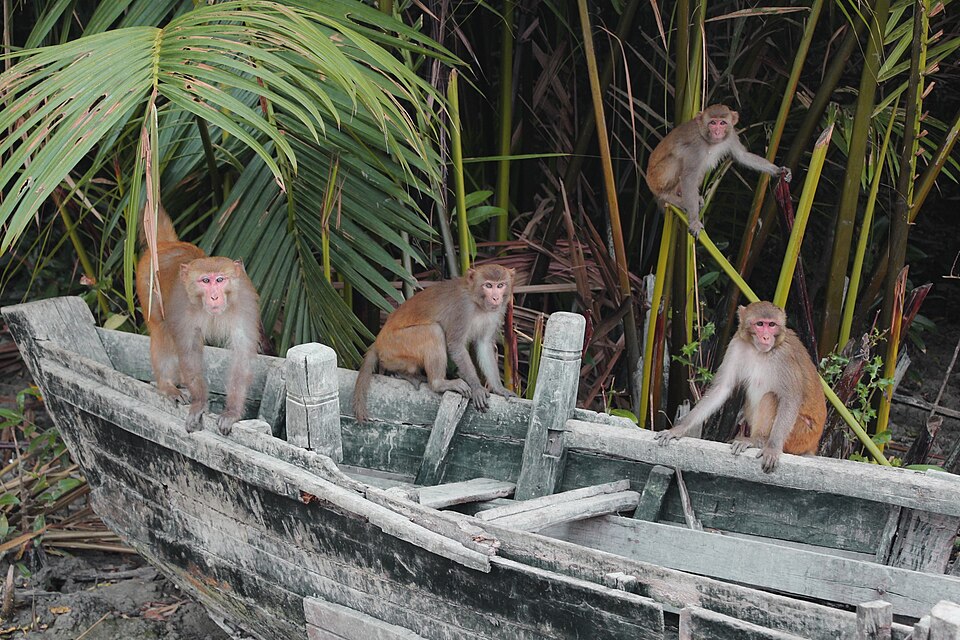
Dhangmari
Bagerhat
A forest-edge village and sanctuary just below Mongla where you can paddle the narrow mangrove canals in a wooden boat, in silence.
 Forest and mangroveHiroki Ogawa · CC BY 3.0
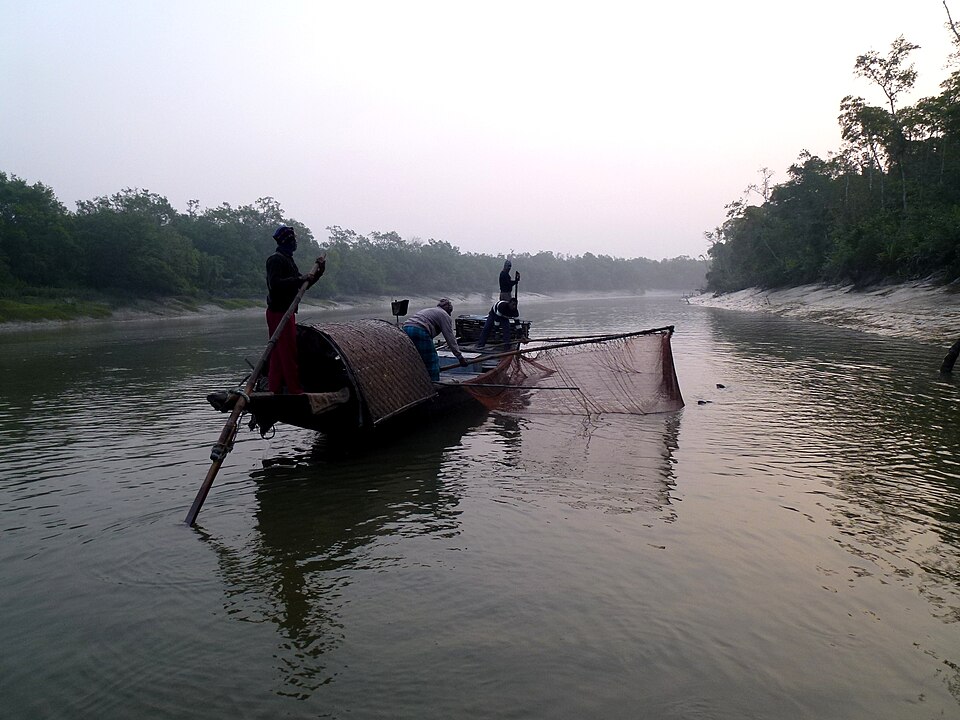
Harbaria
Bagerhat
The deep-forest day trip: a kilometre of boardwalk ending at a watchtower in the Chandpai range, two hours down the Pasur from Mongla, with a permit and an armed guard.
 Forest and mangroveAbu Hasan Mehedi · CC BY 2.0
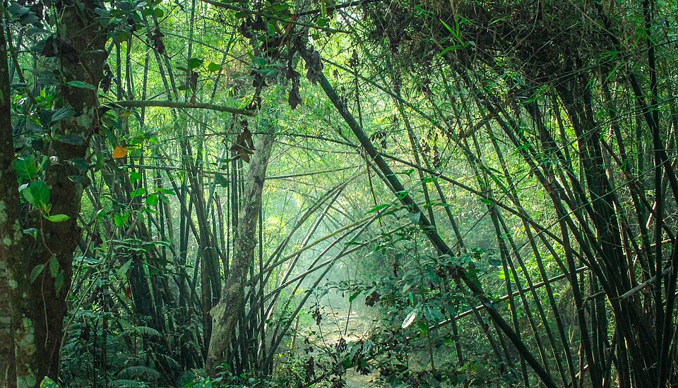
Lawachara National Park
Moulvibazar
A protected patch of semi-evergreen forest near Sreemangal, about 1,250 hectares, best known for hoolock gibbons and the railway line that cuts through it.
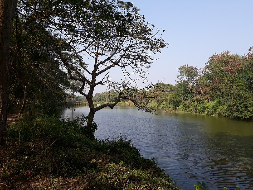 Forest and mangrovePinakpani · CC BY-SA 4.0
Haringhata Forest
Barguna
A mangrove forest in Patharghata on the Haringhata river, with a wooden walkway through the trees and a path on to Laldia beach.
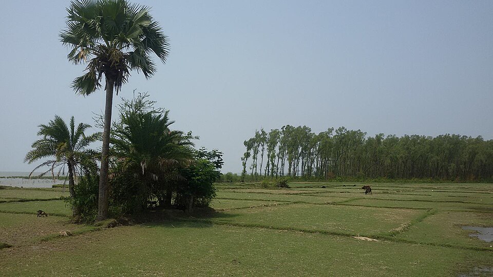 Forest and mangroveMiraz Al Bashar · CC BY-SA 4.0
Tengragiri Wildlife Sanctuary
Barguna
A mangrove forest on the sea at Taltali, known locally as Fatrar Ban: the largest mangrove in the country after the Sundarbans, with deer, monkeys and birds.
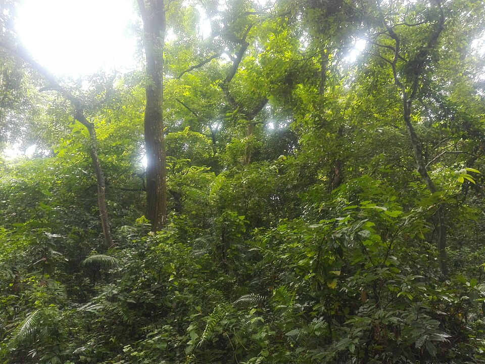 Forest and mangroveFerdous · CC BY-SA 4.0
Madhupur National Park
Tangail
A sal forest on the red Madhupur tract, declared a national park in 1962, with walking trails, a watchtower, monkeys and Garo villages around its edges.