Park, eco park and picnic spot, Chattogram

Banshkhali Eco Parkবাঁশখালী ইকোপার্ক

Time needed
Three hours; a day with the coast.
best months
Nov–Feb
Cost
A small entry ticket.

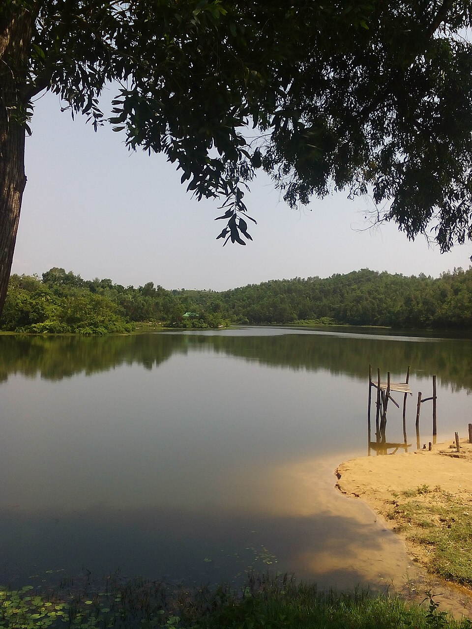
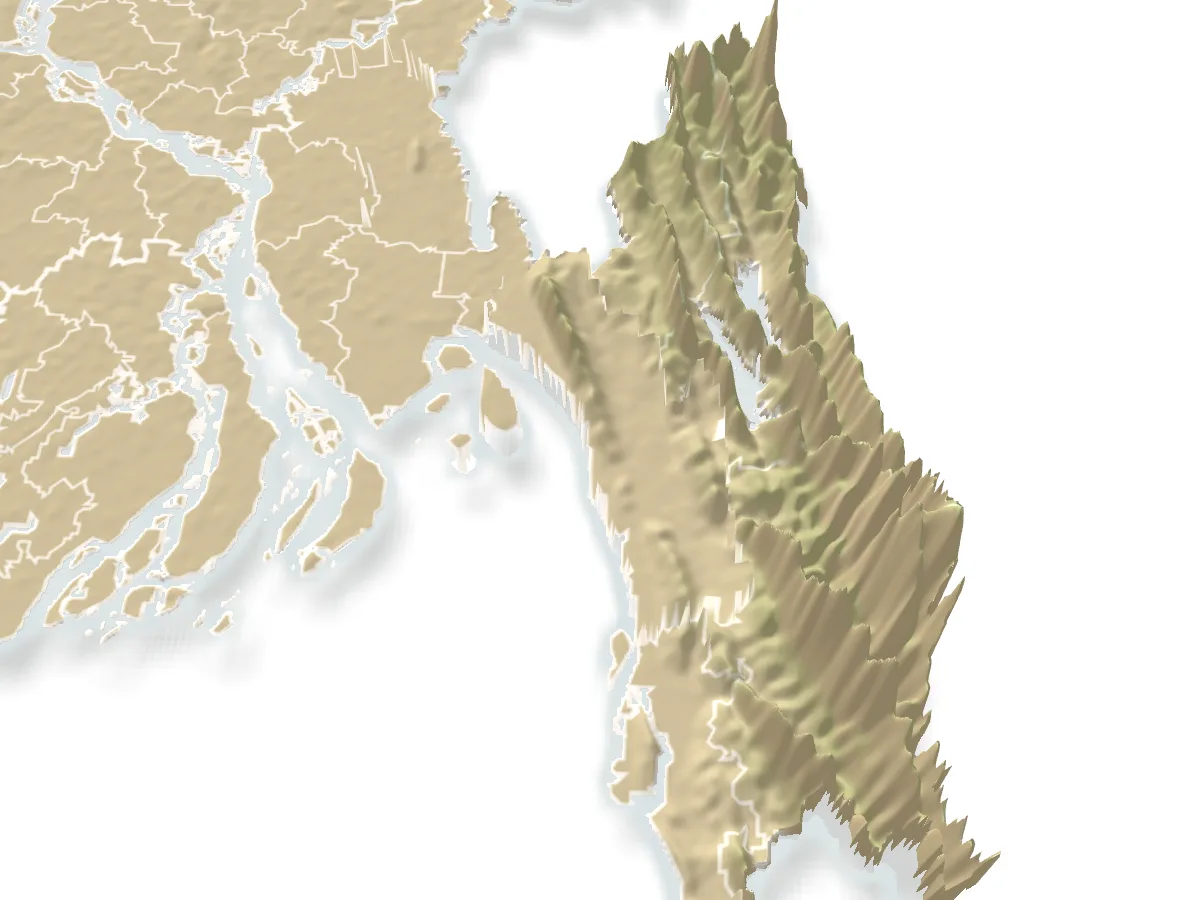
A thousand hectares of hill forest, two lakes and a hanging bridge at Shilkup in Banshkhali, 50 km south-west of the city, declared an eco-park in 2003, with the Bay's long coast a few kilometres west.

Plan your visit

Best time
November to February.

At a glance

Declared
2003, Bangladesh Forest Department
Area
About 1,000 hectares
From the city
About 50 km south-west, Shilkup union

About

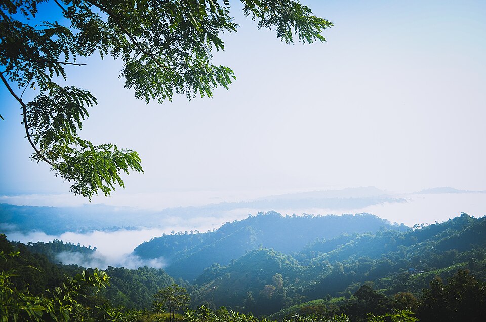
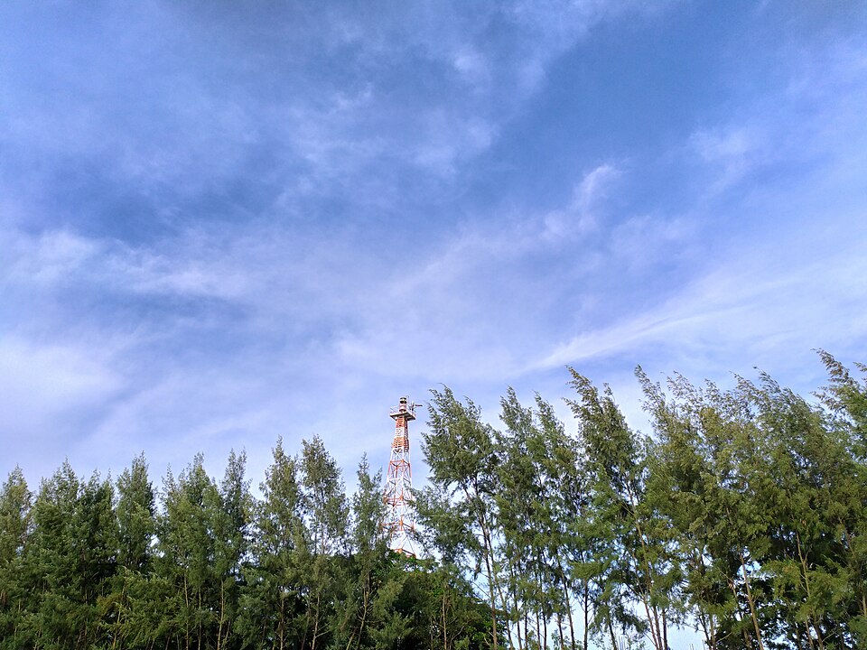
The Forest Department made an eco-park of the Bamerchhara and Danerchhara forest ranges in 2003: about 1,000 hectares of hills, sal and mixed forest, two reservoirs behind small dams, a hanging bridge over the water, viewing towers, a picnic ground and paths through the trees. It is the wildest of the district's parks, with birds, monkeys and the occasional deer, and the ridges give views to the sea on one side and the hills of the Hill Tracts on the other.

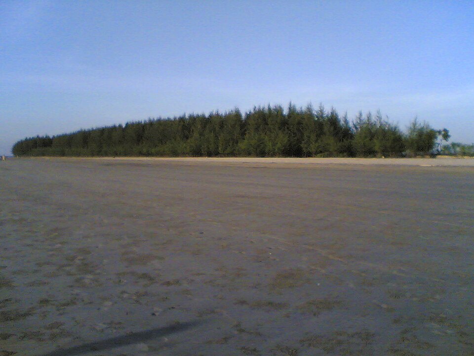
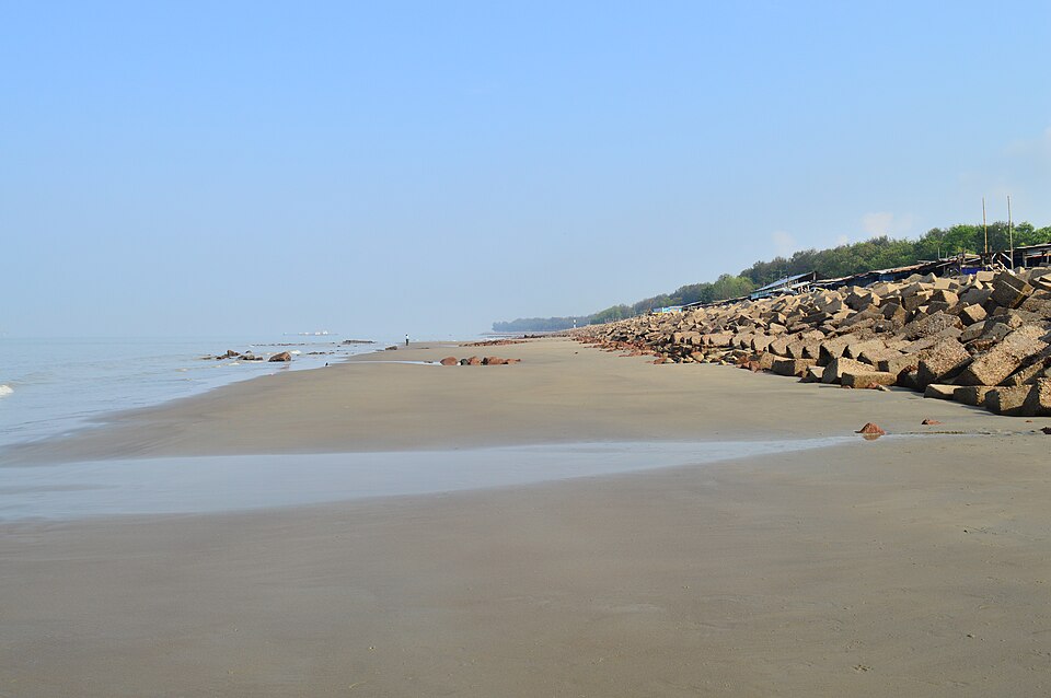
Banshkhali's own coast, long and nearly empty, is a few kilometres further west, and the two together make a full day from the city. The road is the thing to check: the trip is about 50 km but can take two hours.

Getting there: Bus from the city's Bahaddarhat terminal to Banshkhali, then a CNG to the park gate at Shilkup; about two hours in all.

Things to do

  • Cross the hanging bridge and climb a tower for the sea and the hills.

Good to know

  • Bring food and water; stay on the marked paths and leave before dusk.
Getting there

Read the Chattogram guide

Nearby

IslandRocky Masum This work was made by Masum-al-Hasan Rocky and released under the license(s) stated below. Please feel free to use it for any purpose as long as you credit Masum-al-Hasan Rocky as author and follow the terms of the chosen license. If you use this work outside of the Wikimedia projects, I would very much like to get a note from you. Thanks! · CC BY-SA 4.0

Kutubdia Island

24 km, Cox's Bazar

The island upazila off the north of the district: a quiet beach, the old lighthouse, the wind-power masts, salt fields and a slow ferry crossing from Magnama ghat.

River, lake and haorSM Sawash · CC BY-SA 4.0

Prantik Lake

24 km, Bandarban

A quiet dammed lake at Holudia in Suyalok, on the Keranihat road 16 km from town, on the district's edge (prantik): forest round the water, paddle boats, picnic grounds and a cottage, for an afternoon out of the hills.

BeachAzim Al Jabber · CC BY-SA 3.0

Parki Beach

28 km, Chattogram

Thirteen kilometres of sand and casuarina on the Anwara side of the Karnaphuli mouth, facing Patenga across the water; quieter than the city's beach, with the port's ships on the horizon and, since 2023, the tunnel to bring you there.

WaterfallSabilaenun · CC BY-SA 3.0

Shoilo Propat

30 km, Bandarban

A stream fall over a slab of rock beside the Thanchi road, 8 km from town, with a Bawm village market at the top: the first stop on every drive to Chimbuk and Nilgiri, best in the rains.

Viewpoint and sunset spotলাজ মাহমুদ · CC BY-SA 4.0

Chimbuk Hill

31 km, Bandarban

The 2,500-foot hill on the Thanchi road, 26 km from town, with a rest house and lookout on top and Mro villages on its slopes: the "Darjeeling of Bengal" to an older generation, and the halfway stop to Nilgiri.

BeachMoheen Reeyad · CC BY-SA 4.0

Patenga Sea Beach

34 km, Chattogram

The city's beach, 14 km south at the mouth of the Karnaphuli: a long concrete-and-boulder embankment facing the Bay, ships waiting offshore, fried fish stalls and the whole of Chattogram out for the sunset.

Location

Banshkhali Eco Park, Chattogram

Suggest a correction

Times, fares and opening hours change. Check before you go.

Been here? Mark it in the app.

Your visited places and districts fill in your map, earn badges, and travel with you offline.