Known for
- 1
Kanchenjunga from Bangladesh.
On clear mornings in October and November the snow peaks of the Kanchenjunga range rise over the northern horizon at Tetulia, seen from the bank of the Mahananda by the old dak bungalow. Clouds hide it most of the year; give yourself two or three mornings.
- 2
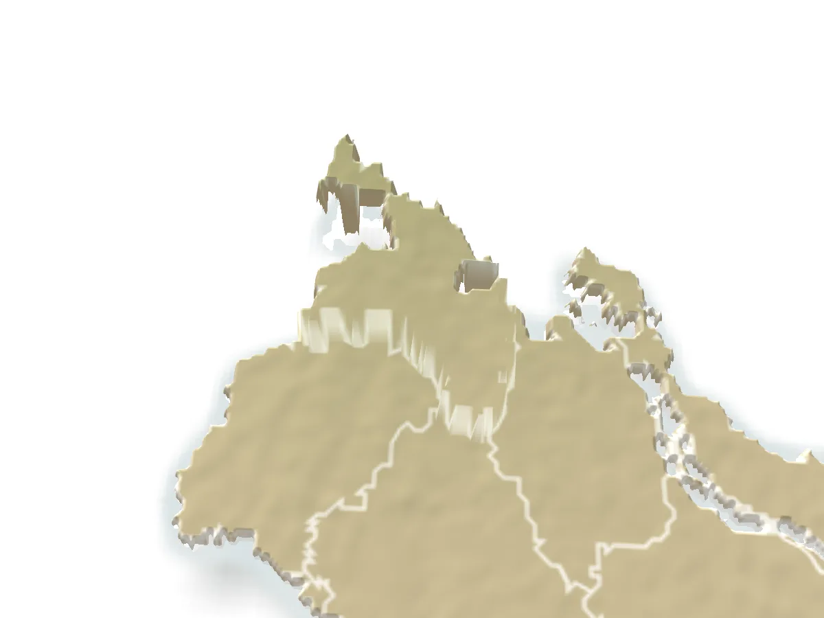
The top of the map.
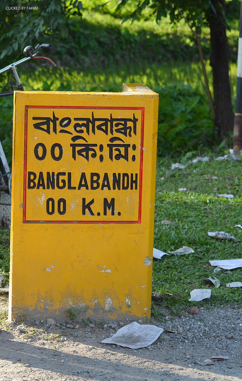
Banglabandha zero point, where the national highway ends at the land port, is the country's northern tip. Around it lie flat-land tea gardens, a rarity outside Sylhet, and the stone collectors of the Mahananda.
- 3
Old Panchagarh.
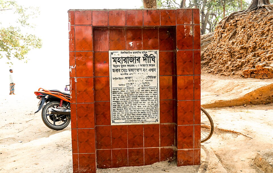
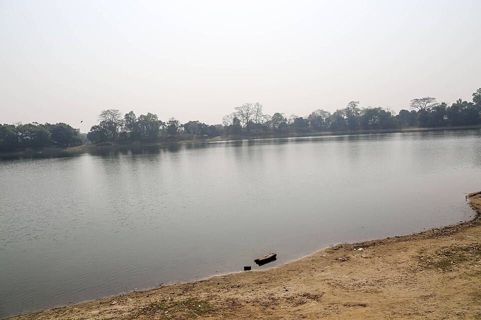
Bhitargarh, a fortified city of about 25 square kilometres, and its huge Maharajar Dighi lie north of the town; the Mughal-era Mirzapur Shahi mosque is in Atwari; and the town has the country's first rocks museum.
Best season
GoodFairOct–Feb
October and November for the mountain view: the air is clearest just after the rains. December to February is cold, often foggy for days; bring real winter clothes, as Tetulia records the country's lowest temperatures.
Getting there
Train
Dhaka
About 10–11 h
Intercity trains to Panchagarh, the last station
Bus
Dhaka
10–12 h
Overnight coaches; some go on to Tetulia
Air
Dhaka
1 h, then about 3 h by road
Fly to Saidpur and take a car north
Getting around
Panchagarh town
About 1 h to Tetulia
Local buses to Tetulia and Banglabandha; autos to Bhitargarh
Panchagarh is the end of the line: intercity trains run from Dhaka, and overnight buses from Gabtoli and Kallyanpur. The nearest airport is Saidpur. Local buses run from Panchagarh town to Tetulia and on to Banglabandha.
Local food
Panchagarh teaMust try
From the flat-land gardens around Tetulia
River fish from the Mahananda and Karatoya, the north's winter pithas, and fresh tea from the local gardens.
Places to see
 Monument and memorialFahim · CC BY-SA 4.0
Banglabandha Zero Point
The northern tip of Bangladesh, where the N5 highway ends at the Banglabandha land port on the Indian border.
 Archaeological siteNajmul Huda · CC BY-SA 4.0
Bhitargarh
The earthen ramparts and buried brick remains of a medieval fortified city of about 25 km², 16 km north of Panchagarh town.
 River, lake and haorNajmul Huda · CC BY-SA 4.0
Maharajar Dighi
A vast old tank inside Bhitargarh, about 54 acres with its banks, traditionally said to have been dug under Maharaja Prithu.
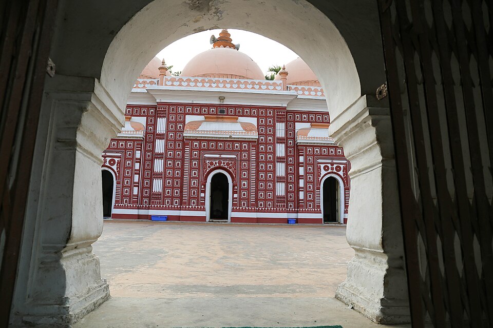 Mosque and shrineNajmul Huda · CC BY-SA 4.0
Mirzapur Shahi Mosque
A three-domed Mughal-era mosque in Atwari, about 17 km south-west of Panchagarh town, with fine terracotta and floral panels on its front.
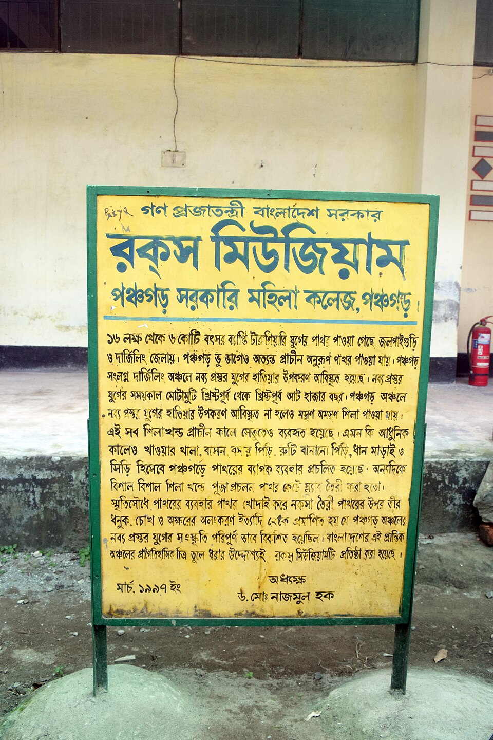 Museum and galleryDolon Prova · CC BY-SA 4.0
Rocks Museum
A small museum of stones, fossil wood and local objects on a college campus in Panchagarh town, the first of its kind in Bangladesh.
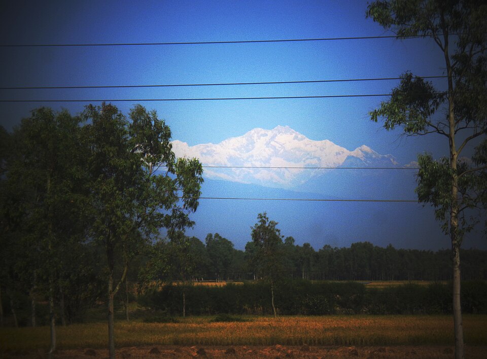 Viewpoint and sunset spotNasif05 · CC BY-SA 4.0
Tetulia Kanchenjunga View
The bank of the Mahananda at Tetulia, the northernmost upazila, where on clear October and November mornings you can see the snows of Kanchenjunga.
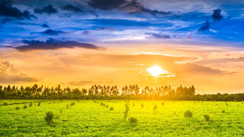 Tea gardenFahimrb · CC BY-SA 4.0
Tetulia Tea Gardens
Tea grown on flat land around Tetulia, where gardens large and small have made Panchagarh one of the country's tea districts.
Sources 1
Times, fares and opening hours change. Check before you go.
Take this guide offline.
The same guide, every place and photo, on your phone without a connection. Mark the district when you get there.