River, lake and haor, Chattogram

Mahamaya Lakeমহামায়া লেক

Time needed
Two to three hours.
best months
Oct–Feb
Cost
A small entry ticket; boats and kayaks by the hour.

The country's second-largest man-made lake, 11 square kilometres of water held between the Mirsharai hills by an irrigation dam finished in 2010: boats, kayaks, a waterfall at the far end and green ridges all round.

Plan your visit

Best time
October to February; afternoons for the still water.

At a glance

Area
About 11 km²
Dam
Built 2007–09, opened December 2010, for irrigation
Where
Durgapur union, Mirsharai, off the Dhaka highway at Thakurdighi

About

The Water Development Board dammed the Mahamaya stream in Durgapur union of Mirsharai between 2007 and 2009 to irrigate the plain below, and opened the project in December 2010. The lake behind the dam spread over about 11 square kilometres between the hills, and it became a place to visit almost at once: a long embankment to walk, boats and kayaks for hire, and a ride across the water to the small waterfall and caves on the far shore. The hills close in on every side, so the lake feels larger and wilder than it is, and in the late afternoon the water goes still.

It is the easy half-day in Mirsharai, paired naturally with Khoiyachora a few kilometres north, and it works even in winter when the waterfalls do not.

Getting there: Dhaka-bound bus to Thakurdighi bazar in Mirsharai, about 1½ hours from the city, then a CNG 2–3 km east to the lake gate.

Things to do

  • Take a boat or kayak across to the waterfall on the far shore.

Good to know

  • Life jackets are provided with the kayaks; wear one. Swimming is not allowed.
Getting there

Read the Chattogram guide

Nearby

WaterfallOwais Al Qarni · CC BY-SA 4.0

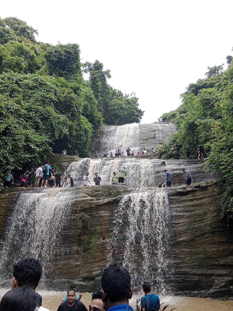
Khoiyachora Waterfall

7 km, Chattogram

The biggest of the Mirsharai waterfalls, nine main cascades one above the other in a forested gorge, reached by a wet, rocky trek up the stream from the highway; at its best from the monsoon to October.

River, lake and haorNibid Anowar · CC BY-SA 4.0

Muhuri Project

12 km, Feni

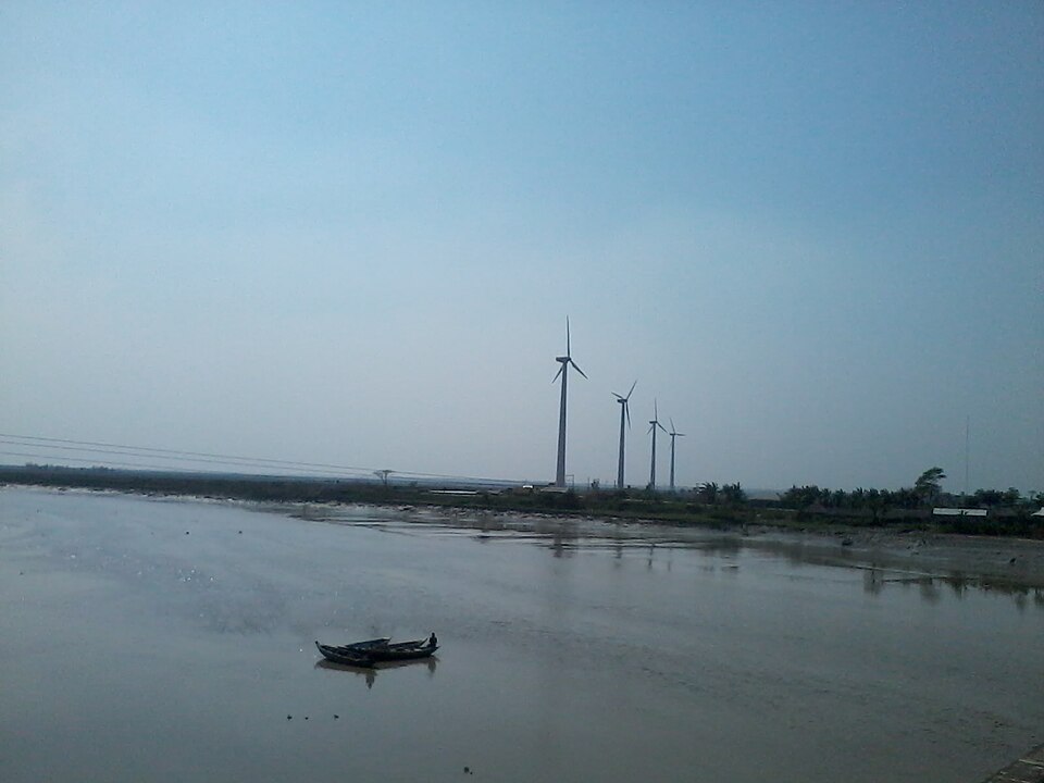
The closure dam and regulator at Sonagazi where the Feni, Muhuri and Kalidas-Pahaliya rivers meet, the country's second-largest irrigation scheme: a long embankment, a 40-gate sluice, wind turbines and the sea beyond.

Fort and palace

Shamsher Gazi's fort and dighi

16 km, Feni

The earthwork fort, tank and tunnel mouth at Jagannath Sonapur and Champaknagar in Chhagalnaiya, where Shamsher Gazi, the peasant rebel who took Roshnabad and Tripura in 1748, had his seat until his death in 1760.

Hills and mountainsSaptorsikundu18 · CC BY-SA 4.0

Chandranath Hill

23 km, Chattogram

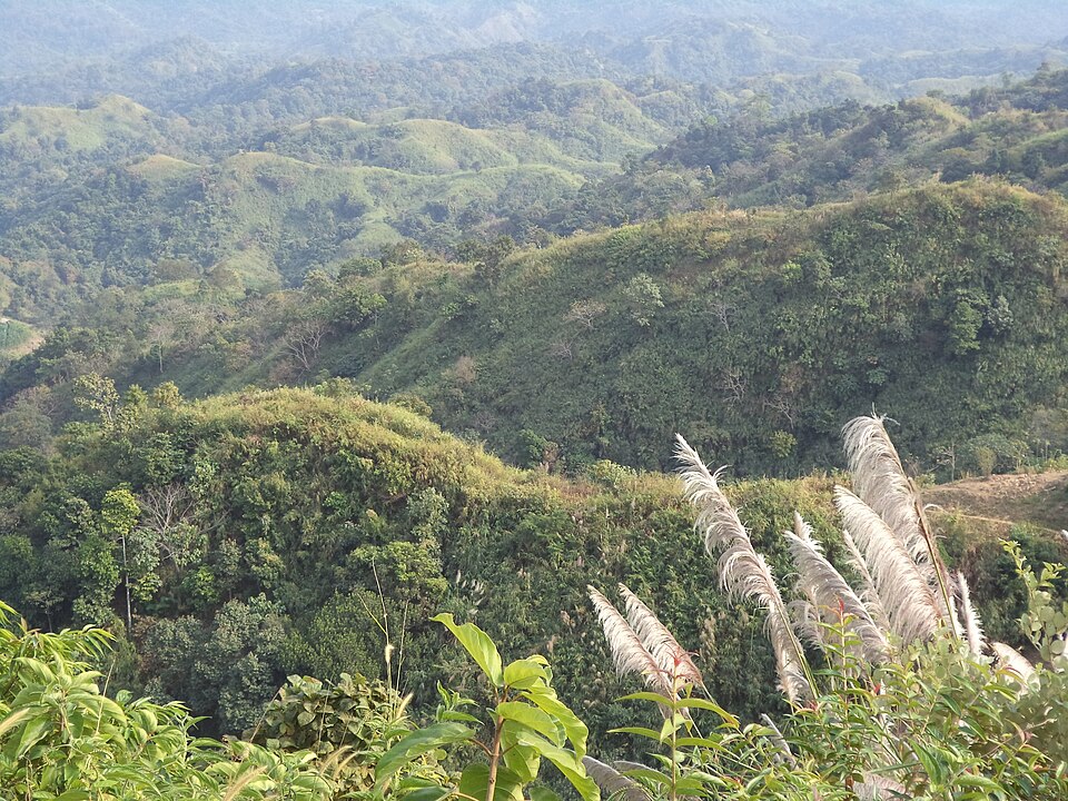
The thousand-foot hill above Sitakunda with the Chandranath Shiva temple on its summit, a Shakti Peeth and the district's great pilgrimage; a steep stair and a forest path up, the sea and the hills from the top, and lakhs of pilgrims at Shiva Chaturdashi.

River, lake and haorIqbal45567 · CC BY-SA 4.0

Musapur Closure

23 km, Noakhali

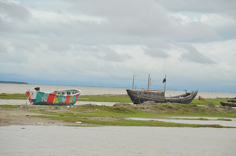
The dam across the Little Feni river at Musapur in Companiganj, built in 2015 to hold the tide back: a 23-gate regulator, a planted forest and a long embankment that became the district's sunset spot.

BeachSyed Sajidul Islam · CC BY-SA 4.0

Guliakhali Beach

25 km, Chattogram

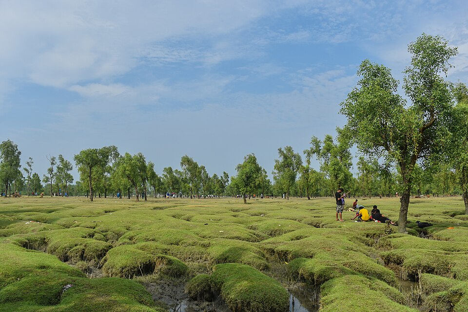
A beach unlike any other in the country, at Muradpur on the Sitakunda coast: green grass and keora mangroves running in ridges and channels straight into the sea, boats, herons, and a wide sky. Unknown until 2014, now a protected tourism area.

Location

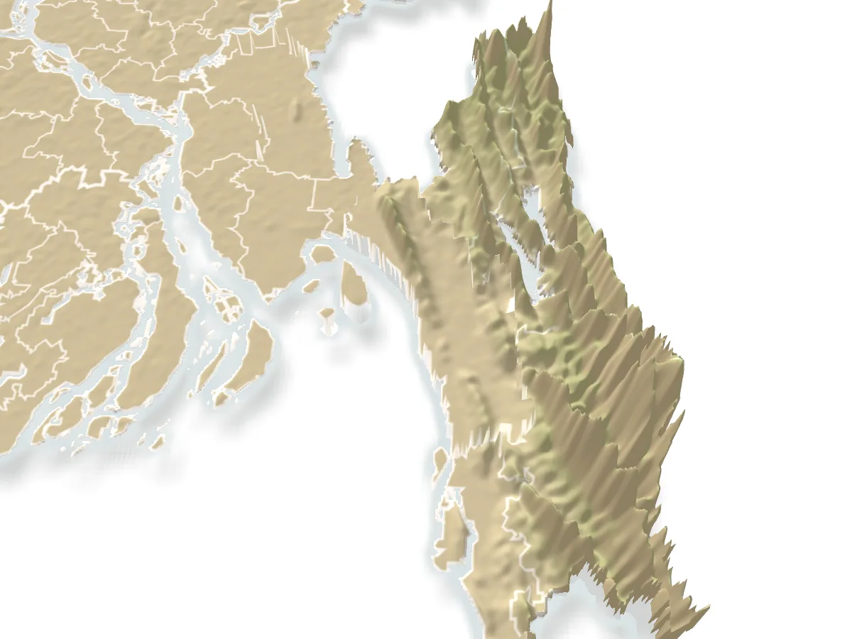
Mahamaya Lake, Chattogram

Suggest a correction

Times, fares and opening hours change. Check before you go.

Been here? Mark it in the app.

Your visited places and districts fill in your map, earn badges, and travel with you offline.