Beach, Chattogram

Guliakhali Beachগুলিয়াখালী সমুদ্র সৈকত

Time needed
Two hours.
best months
Oct–Mar
Cost
Free; a CNG from Sitakunda bazar and back is the only cost.

A beach unlike any other in the country, at Muradpur on the Sitakunda coast: green grass and keora mangroves running in ridges and channels straight into the sea, boats, herons, and a wide sky. Unknown until 2014, now a protected tourism area.

Plan your visit

Best time
Late afternoon at low tide, October to March.

At a glance

Also called
Muradpur beach
Protected
About 259 acres declared a tourism protected area, 2020
From Sitakunda bazar
About 5 km west

About

Guliakhali is a stretch of the Sitakunda coast where the river estuary has built a green shore instead of a sandy one: a carpet of grass cut by tidal channels into rounded mounds, scattered keora trees standing in the water, and the Bay beyond. At high tide the channels fill and the mounds become small islands; at low tide you can walk far out across the grass and mud. Fishing boats pull up on the shore and white herons work the shallows.

Almost nobody outside the villages knew it until a group of CUET students posted photographs in 2014. Within a few years it was one of the most photographed places in the district, and in 2020 the government declared about 259 acres of the coastal forest here a protected tourism area. There is still nothing built: no hotels, a few tea stalls at the end of the track, and the sea.

Go for the late afternoon, when the light lies flat across the grass and the boats come in.

Getting there: Bus to Sitakunda bazar, then a CNG west through Muradpur to the end of the track, 20–30 minutes.

Things to do

  • Walk out across the grass mounds at low tide and sit by the keora trees for sunset.

Good to know

  • Check the tide: the channels fill fast and the mud is deep. Do not swim.
  • Take your rubbish back; the grass is what everyone came for.
Getting there

Read the Chattogram guide

Nearby

Park, eco park and picnic spotMd Raisul Islam2019 · CC BY-SA 4.0

Sitakunda Eco Park

5 km, Chattogram

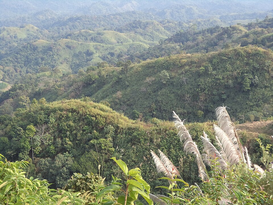
A botanical garden and eco-park on the forested slopes below Chandranath, with the Sahasradhara and Suptadhara waterfalls at the end of its paths, a lake and viewpoints over the coast.

Hills and mountainsSaptorsikundu18 · CC BY-SA 4.0

Chandranath Hill

7 km, Chattogram

The thousand-foot hill above Sitakunda with the Chandranath Shiva temple on its summit, a Shakti Peeth and the district's great pilgrimage; a steep stair and a forest path up, the sea and the hills from the top, and lakhs of pilgrims at Shiva Chaturdashi.

WaterfallOwais Al Qarni · CC BY-SA 4.0

Khoiyachora Waterfall

20 km, Chattogram

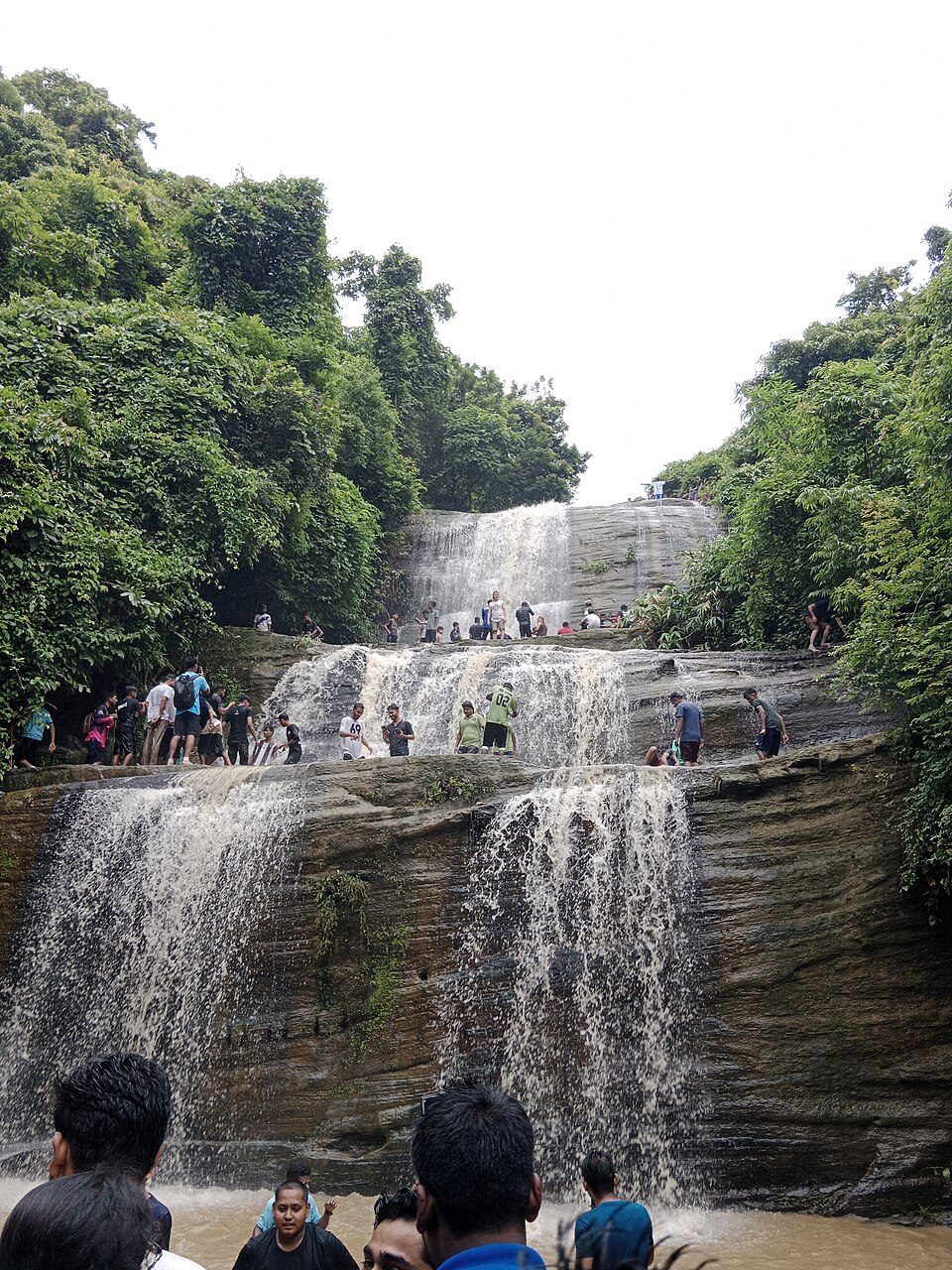
The biggest of the Mirsharai waterfalls, nine main cascades one above the other in a forested gorge, reached by a wet, rocky trek up the stream from the highway; at its best from the monsoon to October.

River, lake and haorHasib · CC BY-SA 4.0

Mahamaya Lake

25 km, Chattogram

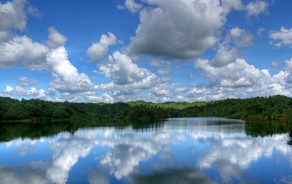
The country's second-largest man-made lake, 11 square kilometres of water held between the Mirsharai hills by an irrigation dam finished in 2010: boats, kayaks, a waterfall at the far end and green ridges all round.

Monument and memorialRohan Uddin Fahad · CC BY-SA 3.0

Shrine of Bayazid Bostami

30 km, Chattogram

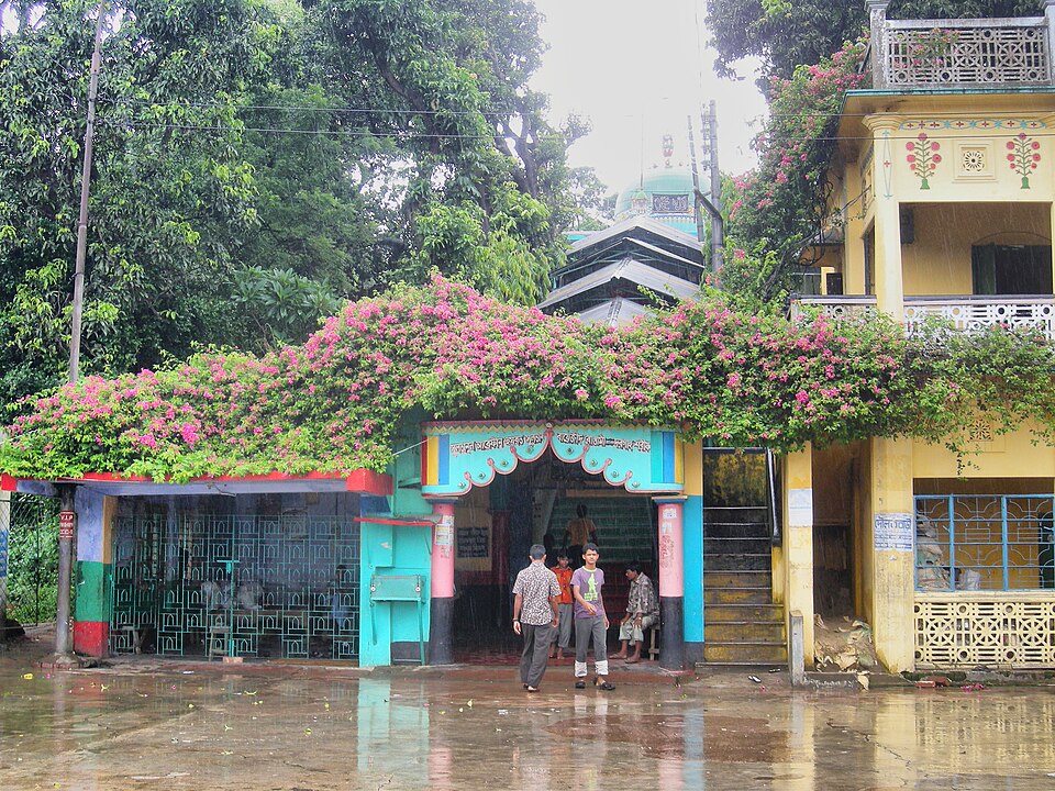
A hilltop shrine at Nasirabad attributed to the Persian Sufi Bayazid of Bastam, with a Mughal-era mosque and a pond full of the rare Bostami softshell turtles that pilgrims feed; busy every Thursday evening.

Park, eco park and picnic spotMoheen Reeyad · CC BY-SA 4.0

Foy's Lake

31 km, Chattogram

A lake dammed between the hills of Khulshi in 1924 by the Assam Bengal Railway, named for its English engineer; now an amusement park, boat rides and a resort around the water, the city's family day out.

Location

Guliakhali Beach, Chattogram

Suggest a correction

Times, fares and opening hours change. Check before you go.

Been here? Mark it in the app.

Your visited places and districts fill in your map, earn badges, and travel with you offline.