Park, eco park and picnic spot, Chattogram

Sitakunda Eco Parkসীতাকুণ্ড ইকোপার্ক

Time needed
Three hours with both waterfalls.
best months
Oct–Feb
Cost
A small entry ticket; extra for a vehicle to the top.

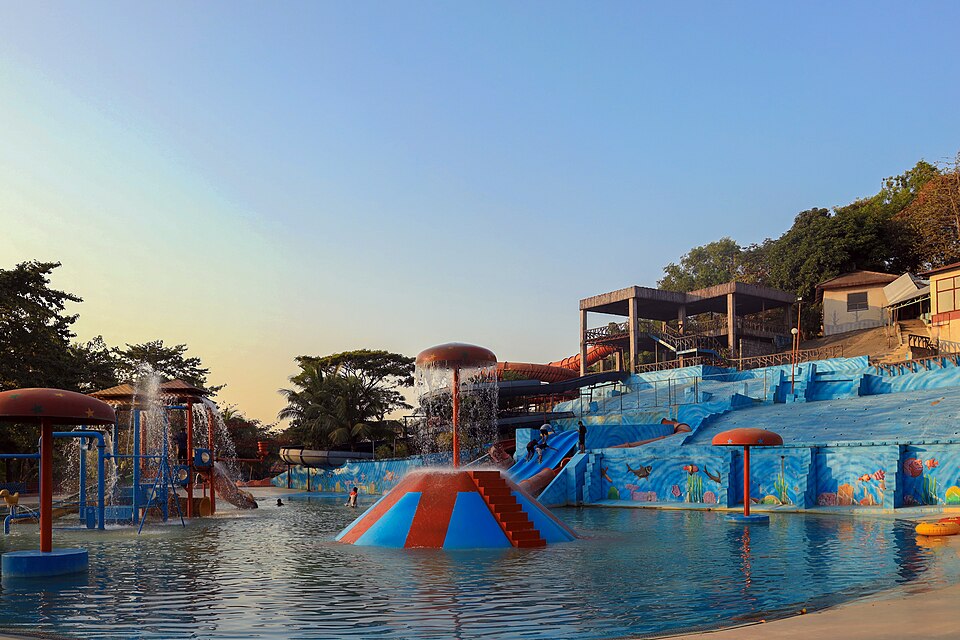
A botanical garden and eco-park on the forested slopes below Chandranath, with the Sahasradhara and Suptadhara waterfalls at the end of its paths, a lake and viewpoints over the coast.

Plan your visit

Best time
October to February; the falls run only from the monsoon into October.

At a glance

Opened
2000, Bangladesh Forest Department
Waterfalls
Suptadhara and Sahasradhara

About

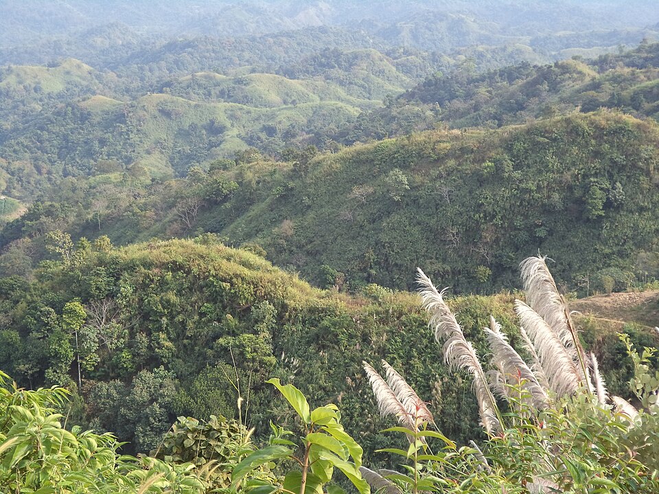
The Forest Department opened the Sitakunda Botanical Garden and Eco-Park in 2000 on about 1,000 acres of the hill range south of Chandranath, a few kilometres from the bazar on the Boro Darogahat side. A paved road winds up from the gate past planted gardens and a lake to the viewpoints, and foot trails drop into the valleys to two waterfalls: Suptadhara, the nearer, and Sahasradhara, a tall thin fall reaching the valley floor by a long concrete stair. Both are full only in and just after the rains; in winter they are a trickle, but the forest, the birds and the views of the Bay from the top make the walk worth it anyway.

It is quieter than Chandranath and easier underfoot, with shade most of the way, which makes it the better choice for a family or for a hot day; many people do the two together.

Getting there: Bus to Sitakunda or Boro Darogahat on the Dhaka highway, then a CNG to the gate; about an hour from the city.

Things to do

  • Walk down to Sahasradhara after the rains, then up to the viewpoint for the coast.

Good to know

  • The stairs to the falls are long and slippery in the wet; wear proper shoes and carry water.
Getting there

Read the Chattogram guide

Nearby

Hills and mountainsSaptorsikundu18 · CC BY-SA 4.0

Chandranath Hill

4 km, Chattogram

The thousand-foot hill above Sitakunda with the Chandranath Shiva temple on its summit, a Shakti Peeth and the district's great pilgrimage; a steep stair and a forest path up, the sea and the hills from the top, and lakhs of pilgrims at Shiva Chaturdashi.

BeachSyed Sajidul Islam · CC BY-SA 4.0

Guliakhali Beach

5 km, Chattogram

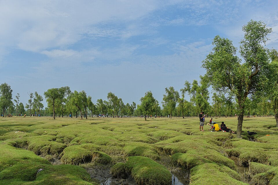
A beach unlike any other in the country, at Muradpur on the Sitakunda coast: green grass and keora mangroves running in ridges and channels straight into the sea, boats, herons, and a wide sky. Unknown until 2014, now a protected tourism area.

WaterfallOwais Al Qarni · CC BY-SA 4.0

Khoiyachora Waterfall

20 km, Chattogram

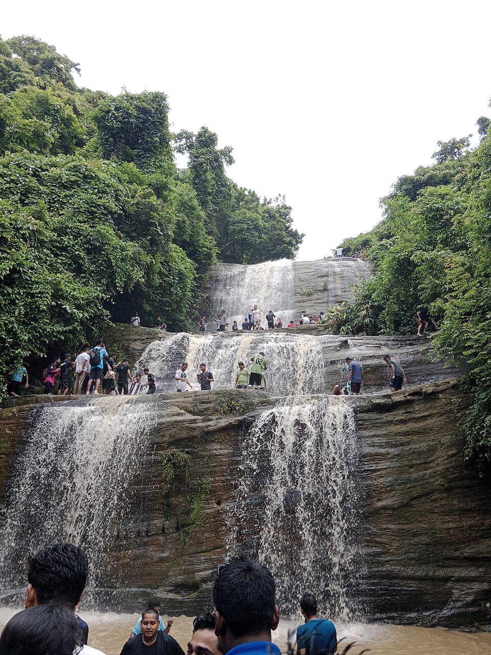
The biggest of the Mirsharai waterfalls, nine main cascades one above the other in a forested gorge, reached by a wet, rocky trek up the stream from the highway; at its best from the monsoon to October.

River, lake and haorHasib · CC BY-SA 4.0

Mahamaya Lake

26 km, Chattogram

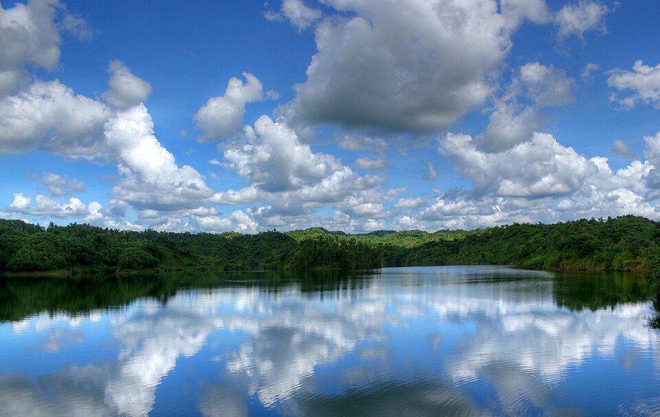
The country's second-largest man-made lake, 11 square kilometres of water held between the Mirsharai hills by an irrigation dam finished in 2010: boats, kayaks, a waterfall at the far end and green ridges all round.

Monument and memorialRohan Uddin Fahad · CC BY-SA 3.0

Shrine of Bayazid Bostami

28 km, Chattogram

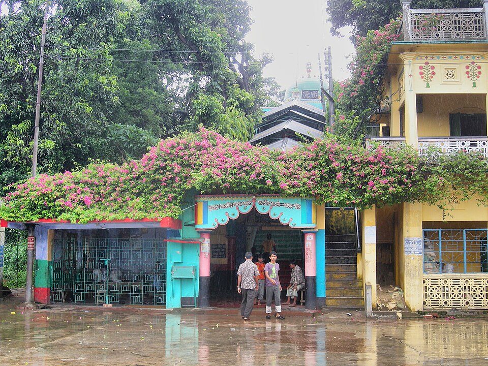
A hilltop shrine at Nasirabad attributed to the Persian Sufi Bayazid of Bastam, with a Mughal-era mosque and a pond full of the rare Bostami softshell turtles that pilgrims feed; busy every Thursday evening.

Park, eco park and picnic spotMoheen Reeyad · CC BY-SA 4.0

Foy's Lake

29 km, Chattogram

A lake dammed between the hills of Khulshi in 1924 by the Assam Bengal Railway, named for its English engineer; now an amusement park, boat rides and a resort around the water, the city's family day out.

Location

Sitakunda Eco Park, Chattogram

Suggest a correction

Times, fares and opening hours change. Check before you go.

Been here? Mark it in the app.

Your visited places and districts fill in your map, earn badges, and travel with you offline.