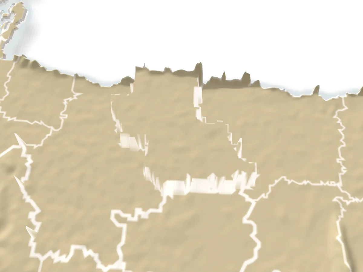
Monument and memorial, Netrokona

Sat Shahid Mazar, Lenguraসাত শহীদের মাজার, লেঙ্গুরা

Time needed
Half an hour.

The graves of seven freedom fighters killed at Nazirpur on 26 July 1971 and buried at Phulbari, Lengura, at the foot of the hills in Kalmakanda; a memorial on the border road.

At a glance

Date
26 July 1971, the fight at Nazirpur
Where
Phulbari, Lengura union, Kalmakanda, under the Garo Hills

About

On 26 July 1971 a group of freedom fighters met a Pakistani column at the three-way junction beside the Nazirpur union land office in Kalmakanda, and seven of them were killed: Dr Abdul Aziz, Fazlul Haque, Yar Mahmud, Bhabatosh Chandra Das, Nuruzzaman, Dwijendra Chandra Biswas and Jamal Uddin. Their comrades carried the bodies north to Phulbari in Lengura union, under the Garo Hills on the border, and buried them there. The site is known as the Sat Shahid Mazar, the shrine of the seven martyrs, and sometimes as Saptashikha, seven flames.

A memorial now marks the graves, and every 26 July the district comes here to lay wreaths. The rest of the year it is a quiet spot on the border road with the hills close above, reached from Kalmakanda town; Lengura's Garo and Hajong villages and the hill streams are around it.

Getting there: Bus or CNG from Netrokona town to Kalmakanda, then a CNG or motorcycle north to Lengura, about 12 km.

Things to do

  • Pay respects at the seven graves; come on 26 July for the commemoration.

Good to know

  • It is on the border: carry ID and keep away from the pillars.
Getting there

Read the Netrokona guide

Nearby

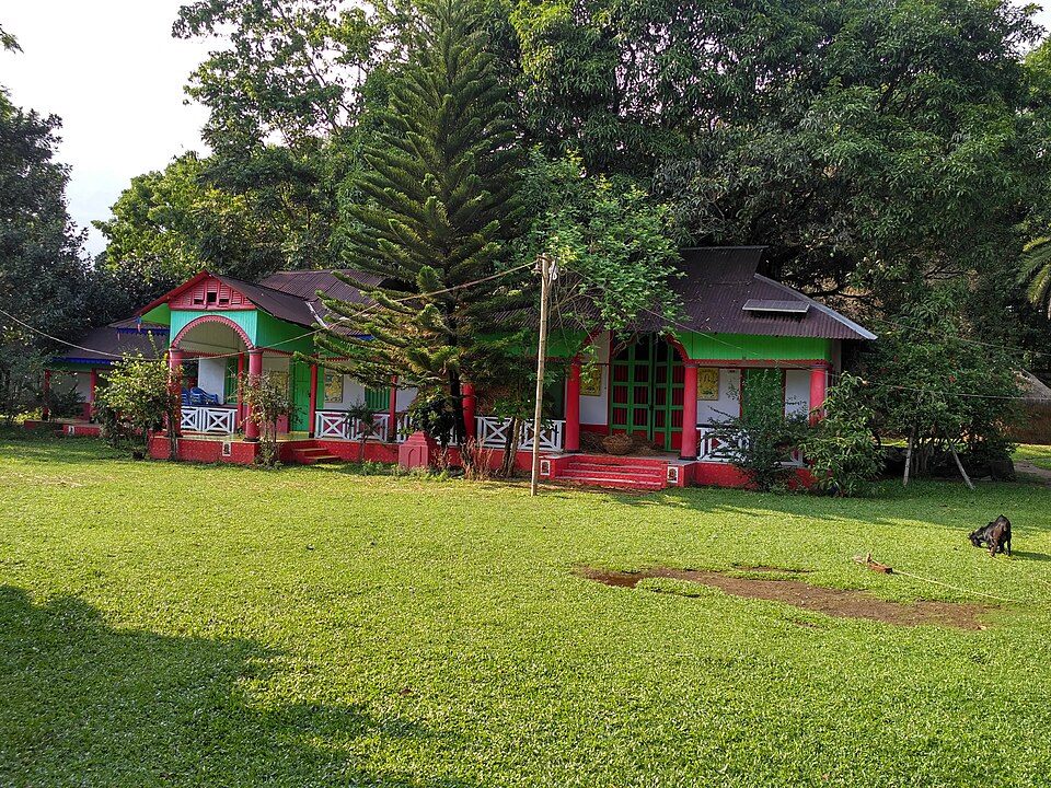
Fort and palaceSalim Khandoker · CC BY-SA 4.0

Susang Durgapur Rajbari

12 km, Netrokona

The seat of the Susang rajas, descendants of Someshwar Pathak who ruled this corner from 1280 until the end of the zamindari; rebuilt after the 1897 earthquake, now four decaying houses, one of them the magistrate's residence.

Church

Ranikhong mission

12 km, Netrokona

St Joseph's Catholic parish on the Ranikhong hill above the Someshwari, where the river enters Bangladesh: the first Garo mission of the region, on this hill since 1915, with the river and the hills below the church.

Hills and mountainsকুপি বাতি · CC BY-SA 4.0

Bijoypur white clay hills

13 km, Netrokona

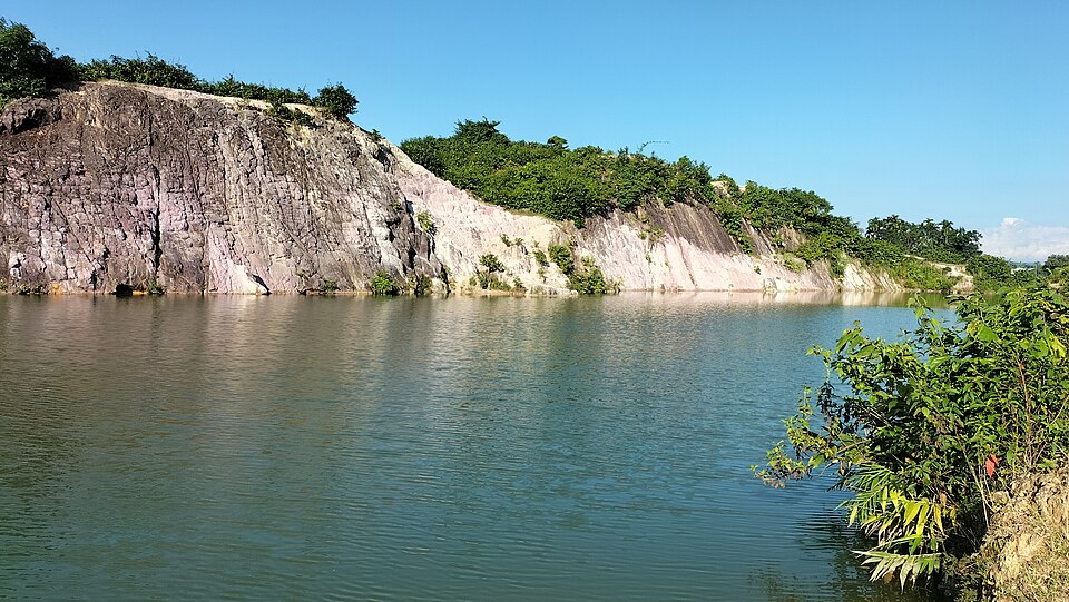
Low hills of white china clay on the border at Bijoypur, mined for the country's ceramics since the 1950s; the old cuttings hold pools of blue-green water under white and pink cliffs.

River, lake and haorSaimon Chandra Shil · CC BY-SA 4.0

Someshwari River

14 km, Netrokona

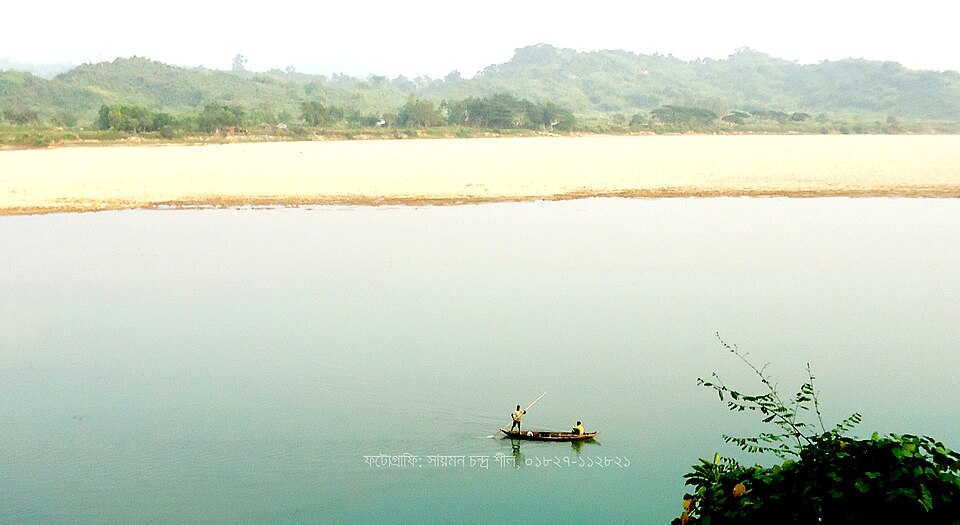
The river that comes down from the Garo Hills past Ranikhong and Durgapur: clear water over pebbles and sand in winter, a torrent in the rains, boats, coal and sand gatherers, and the hills standing behind it.

Museum and galleryBhoboghure · CC BY 4.0

Tribal Cultural Academy, Birishiri

14 km, Netrokona

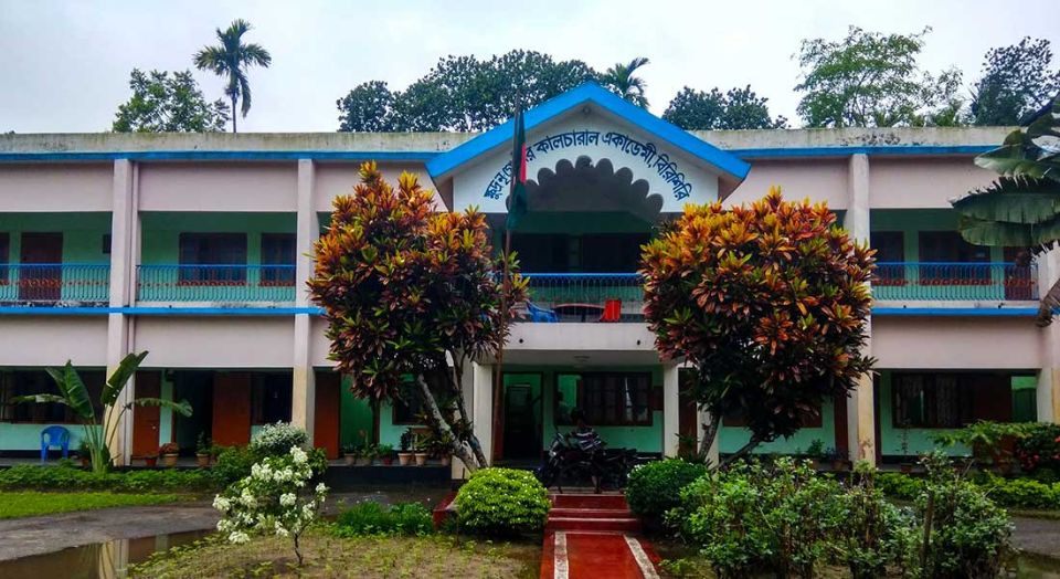
A government academy founded in 1977 to keep the languages, dress, songs and dances of the Garo, Hajong, Koch, Banai, Dalu and Mandi communities of greater Mymensingh; a small museum, a library and a stage for their festivals.

Village and communityEsha795 · CC BY-SA 3.0

Birishiri

14 km, Netrokona

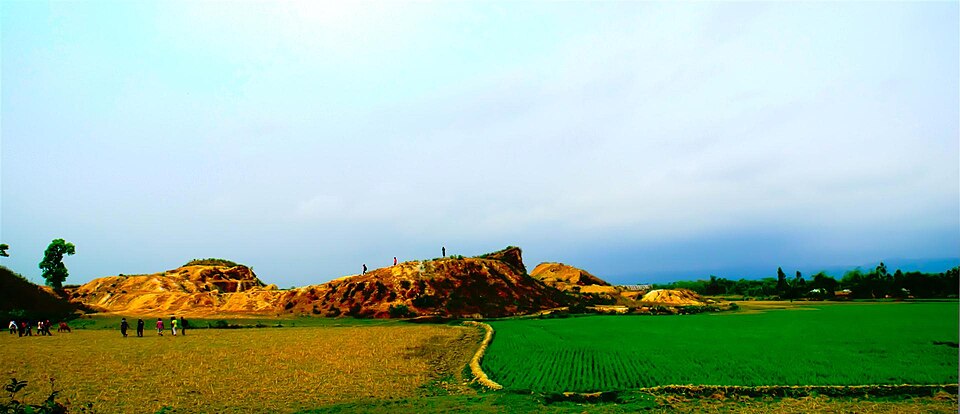
The village across the Someshwari from Durgapur bazar that gives the whole area its name among travellers: Garo and Hajong homes, mission schools from the British years, the cultural academy, and the base for the river, the white clay hills and Ranikhong.

Location

Sat Shahid Mazar, Lengura, Netrokona

Suggest a correction

Times, fares and opening hours change. Check before you go.

Been here? Mark it in the app.

Your visited places and districts fill in your map, earn badges, and travel with you offline.