Archaeological site, Netrokona
Roailbari Fortরোয়াইলবাড়ি দুর্গ
- Time needed
- About an hour.
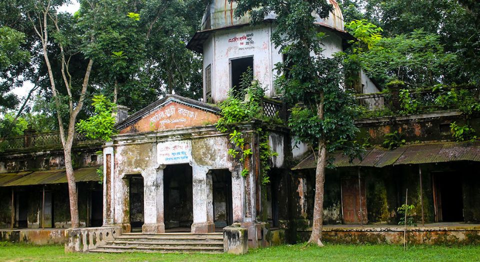
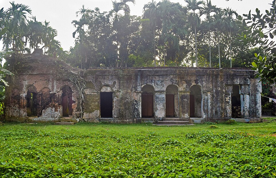
The roofless brick buildings and mounds of a Sultanate-era fort on the Betai river in Kendua, also called Kotbari; found in the 1980s, protected in 1987 and excavated in 1991–93, Netrokona's one archaeological site.
At a glance
- Period
- Sultanate, by most readings; extended under Isa Khan by tradition
- Protected
- 1987; excavated 1991–93
- From Kendua
- About 13 km south-west, on the Betai
About
Thirteen kilometres south-west of Kendua, in Roailbari Amtala union, a low rampart encloses the remains of a fort by the Betai. Nobody knows who first built it: some archaeologists read the brickwork as Sultanate, and local tradition says Nusrat Shah, son of Alauddin Husain Shah, built or enlarged it while he governed this region in the early 1500s, and that Isa Khan and the rulers after him extended it again. It came to notice in the 1980s, was listed as a protected monument in 1987, and the Department of Archaeology's digs in 1991–93 uncovered the walls of several buildings and two mounds.
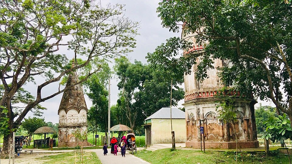
What you see is a gateway, long stretches of brick wall, the roofless shells of rooms, a tank and the grassy mounds, in open country with the river beside it. It is the most substantial old building in a district that has few, and a good hour's wander for anyone who likes ruins; a signboard explains the digs.
Getting there: From Netrokona town or Kishoreganj to Kendua, then a CNG about 13 km to Roailbari.
Things to do
- Walk the rampart and the excavated rooms, and read the Department's board.
Good to know
- No shade or shop; bring water, and keep off the walls, which are fragile.