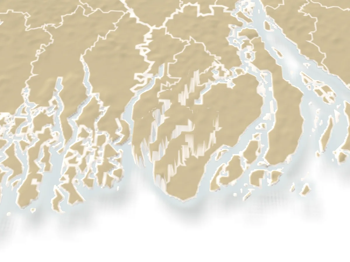
Known for
- 1
The second-largest mangrove after the Sundarbans.
Tengragiri, locally Fatrar Ban, runs along the sea in Taltali: keora and gewa forest, spotted deer, monkeys and birds, with the Sonakata eco park at its edge.
- 2
Beaches at the river mouths.
Laldia and Haringhata in Patharghata face the Baleshwar and the Bishkhali; Shuvo Sondha in Taltali looks out where the Payra meets the sea. All are quiet, with forest behind the sand.
- 3
A Mughal mosque on a mound.
Bibichini Shahi Mosque in Betagi stands on a raised mound above the green fields, one of the oldest buildings in the south.
Best season
GoodFairNov–Feb
November to February is the time: dry paths in the forest, calm rivers and clear sunsets on the beaches.
The monsoon floods the trails and makes river crossings rough; cyclone warnings in May and October to November can stop boats altogether.
Getting there
Bus
Dhaka
To Barguna, Patharghata or Taltali over the Padma bridge
Launch
Dhaka (Sadarghat)
Overnight to Barguna
Getting around
In the district
Motorbikes and vans to the forest and beaches; boats on the rivers
Buses run from Dhaka to Barguna, Patharghata and Taltali over the Padma bridge. Overnight launches from Sadarghat reach Barguna. Inside the district, buses and motorbikes link the upazilas; Tengragiri is near Taltali, the beaches near Patharghata and Taltali.
Local food
HilsaMust try
From the Payra and Bishkhali, best in the monsoon months
River and sea fish, above all hilsa from the Payra and Bishkhali in season, crab and dried fish from the Patharghata landing.
Places to see
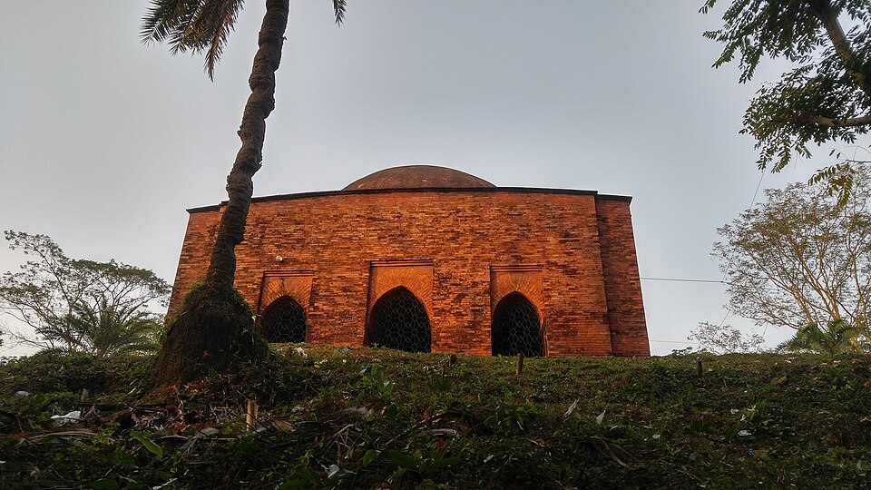 Mosque and shrineFarhan Al Mostakim · CC BY-SA 4.0
Bibichini Shahi Mosque
A Mughal-era domed mosque on a mound in Betagi, about 10 km north of the upazila town, among the oldest buildings in the south.
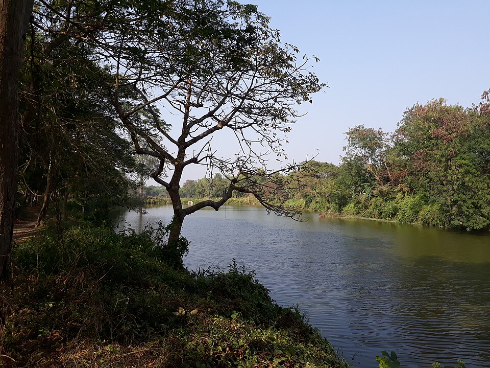 Forest and mangrovePinakpani · CC BY-SA 4.0
Haringhata Forest
A mangrove forest in Patharghata on the Haringhata river, with a wooden walkway through the trees and a path on to Laldia beach.
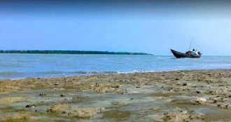 BeachBhoboghure · CC BY 4.0
Laldia Sea Beach
A beach in Patharghata where the Baleshwar and Bishkhali rivers reach the sea, with the Laldia forest right behind the sand.
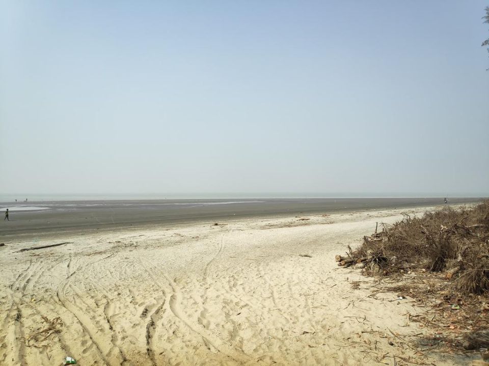 BeachBhoboghure · CC BY 4.0
Shuvo Sondha Beach
A 4.5 km beach in Taltali where the Payra, Bishkhali and Baleshwar meet the sea, with a line of trees behind the sand.
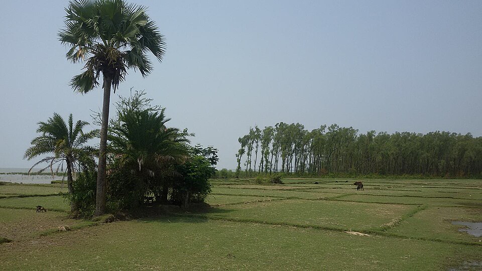 Forest and mangroveMiraz Al Bashar · CC BY-SA 4.0
Tengragiri Wildlife Sanctuary
A mangrove forest on the sea at Taltali, known locally as Fatrar Ban: the largest mangrove in the country after the Sundarbans, with deer, monkeys and birds.
Sources 1
Times, fares and opening hours change. Check before you go.
Take this guide offline.
The same guide, every place and photo, on your phone without a connection. Mark the district when you get there.